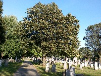
TRY THIS MODEL
Drop image here to test
tree-detection-ntf74/6 (latest)
The training set is empty.
The validation set is empty.
The testing set is empty.
Classes
Layers
{
"accumulator": null,
"annotation_jobs": [
"8Fu4BtpSZNfqPefyaNQh/oNVfOKmr3qZFoowVcigK",
"dTeLVe9vEcJB0QKJjjsG/Rcq3BOA5z5xRtBIe1mQw",
"FNC1oLpw7yLLJ00srapF/6ILROh5tOGEZCdtLzVCn"
],
"annotations": {
"trees": {
"original": {
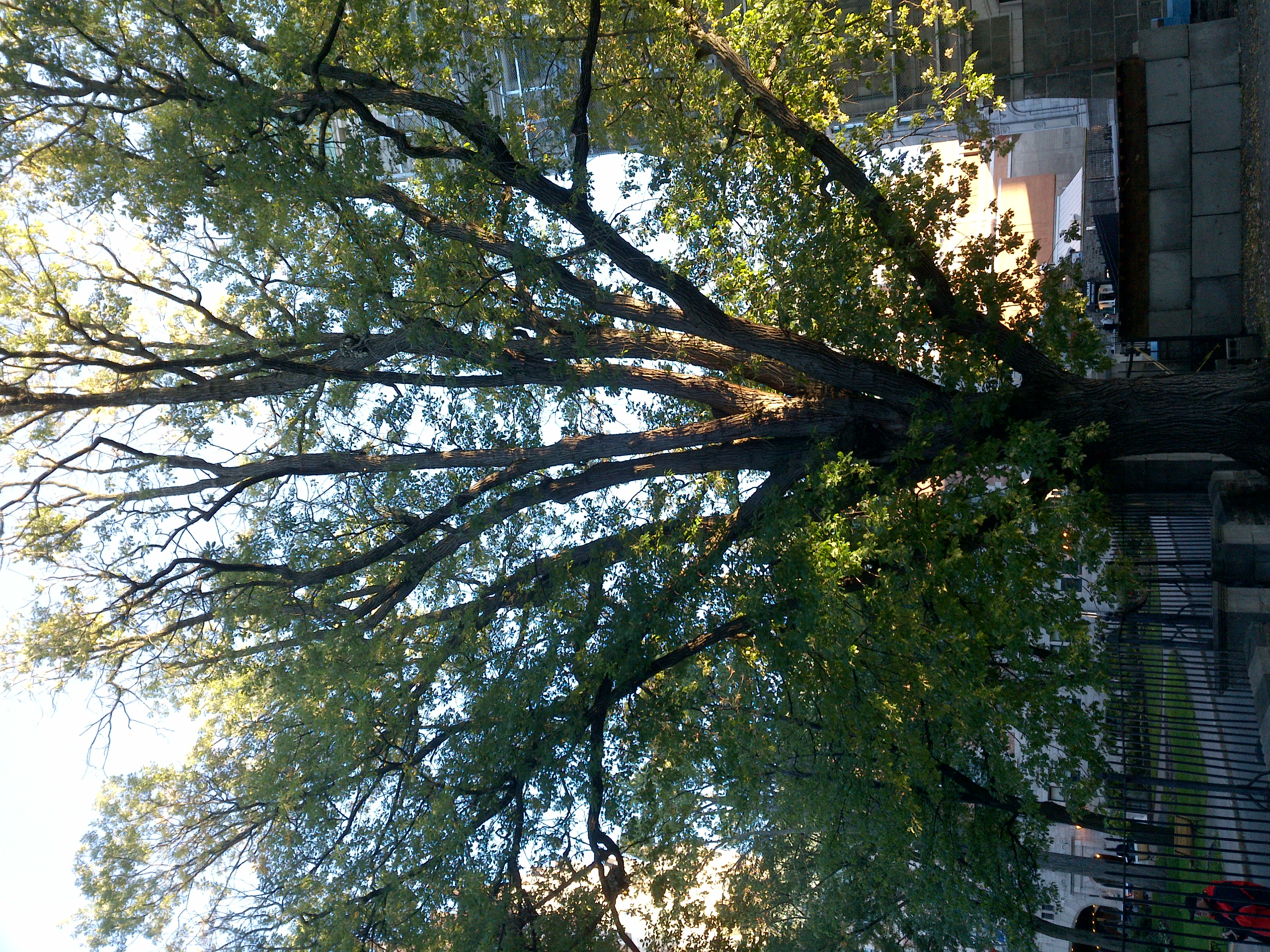
"annotation": "[{\"id\":70,\"image_id\":65,\"category_id\":31,\"segmentation\":[],\"bbox\":[390.4,41.599999999999966,2243.199999999999,2124.8000000000006],\"ignore\":0,\"iscrowd\":0,\"area\":4766351.359999999}]",
"format": "json",
"source": "coco"
},
"converted": "{\"key\":\"27caf752-231001_163250_Garmin_Oregon7xx_DSC04306.jpg\",\"boxes\":[{\"label\":\"Tree\",\"x\":1511.9999999999995,\"y\":1104.0000000000002,\"width\":2243.199999999999,\"height\":2124.8000000000006,\"keypoints\":[]}],\"width\":3264,\"height\":2448}",
"extra": null,
"used": true,
"key": [
"27caf752-231001_163250_Garmin_Oregon7xx_DSC04306.jpg"
]
},
"trees-qDft": {
"original": {
"annotation": "[{\"id\":70,\"image_id\":65,\"category_id\":31,\"segmentation\":[],\"bbox\":[390.4,41.599999999999966,2243.199999999999,2124.8000000000006],\"ignore\":0,\"iscrowd\":0,\"area\":4766351.359999999}]",
"format": "json",
"source": "coco"
},
"extra": null,
"used": true,
"key": [
"27caf752-231001_163250_Garmin_Oregon7xx_DSC04306.jpg"
],
"by": "vKApOnDiwjaSVG3dsP3mDQx4C3g2",
"converted": "{\"key\":\"27caf752-231001_163250_Garmin_Oregon7xx_DSC04306.jpg\",\"boxes\":[{\"label\":\"Feuillu\",\"x\":\"1603.22\",\"y\":\"1109.54\",\"width\":\"2060.76\",\"height\":\"2135.87\"},{\"label\":\"Feuillu\",\"x\":\"2967.00\",\"y\":\"1358.95\",\"width\":\"594.00\",\"height\":\"1377.89\"}],\"width\":3264,\"height\":2448}",
"lastSet": "1705423489904"
},
"Tree": {
"original": {
"annotation": "[{\"id\":70,\"image_id\":65,\"category_id\":31,\"segmentation\":[],\"bbox\":[390.4,41.599999999999966,2243.199999999999,2124.8000000000006],\"ignore\":0,\"iscrowd\":0,\"area\":4766351.359999999}]",
"format": "json",
"source": "coco"
},
"extra": null,
"used": true,
"key": [
"27caf752-231001_163250_Garmin_Oregon7xx_DSC04306.jpg"
],
"by": "vKApOnDiwjaSVG3dsP3mDQx4C3g2",
"converted": "{\"key\":\"27caf752-231001_163250_Garmin_Oregon7xx_DSC04306.jpg\",\"boxes\":[{\"label\":\"Tree\",\"x\":\"1512.00\",\"y\":\"1104.00\",\"width\":\"2243.20\",\"height\":\"2124.80\"},{\"label\":\"Tree\",\"x\":\"2989.50\",\"y\":\"1378.53\",\"width\":\"549.00\",\"height\":\"1367.05\"}],\"width\":3264,\"height\":2448}",
"lastSet": 1708699330305
}
},
"camera": "Garmin Oregon 7xx",
"classes": [
"trees",
"trees-qDft",
"Tree"
],
"created": {
"_seconds": 1705415617,
"_nanoseconds": 455000000
},
"datasets": [
"8Fu4BtpSZNfqPefyaNQh",
"dTeLVe9vEcJB0QKJjjsG",
"FNC1oLpw7yLLJ00srapF"
],
"extension": "jpg",
"hashes": [
"3c0e20ea7921b1e1078546321e50d898"
],
"height": 2448,
"id": "tS1StDs7rzBZoBZCwh78",
"label": [
"Unlabeled"
],
"metadata": {
"ExifVersion": "0220",
"GPSLatitude": "46,48,26.759517024609135",
"GPSAltitude": "9.675927175466311",
"GPSAltitudeRef": "0",
"DateTime": "2023:10:01 16:32:50",
"GPSMapDatum": "WGS-84",
"DateTimeOriginal": "2023:10:01 16:32:50",
"FlashpixVersion": "0100",
"WhiteBalance": "Auto white balance",
"GPSLatitudeRef": "N",
"GPSVersionID": "2.2.0.0",
"ExifIFDPointer": "124",
"Flash": "Flash did not fire",
"FNumber": "2.650000096622392",
"GPSLongitudeRef": "W",
"FocalLengthIn35mmFilm": "31",
"Make": "Garmin",
"GPSLongitude": "71,15,36.59525525227283",
"Orientation": "top-left",
"GPSImgDirection": "94.94413007148651",
"GPSImgDirectionRef": "T",
"GPSInfoIFDPointer": "290",
"DigitalZoomRatio": "0",
"FocalLength": "4.081999780895211",
"Model": "Oregon 7xx"
},
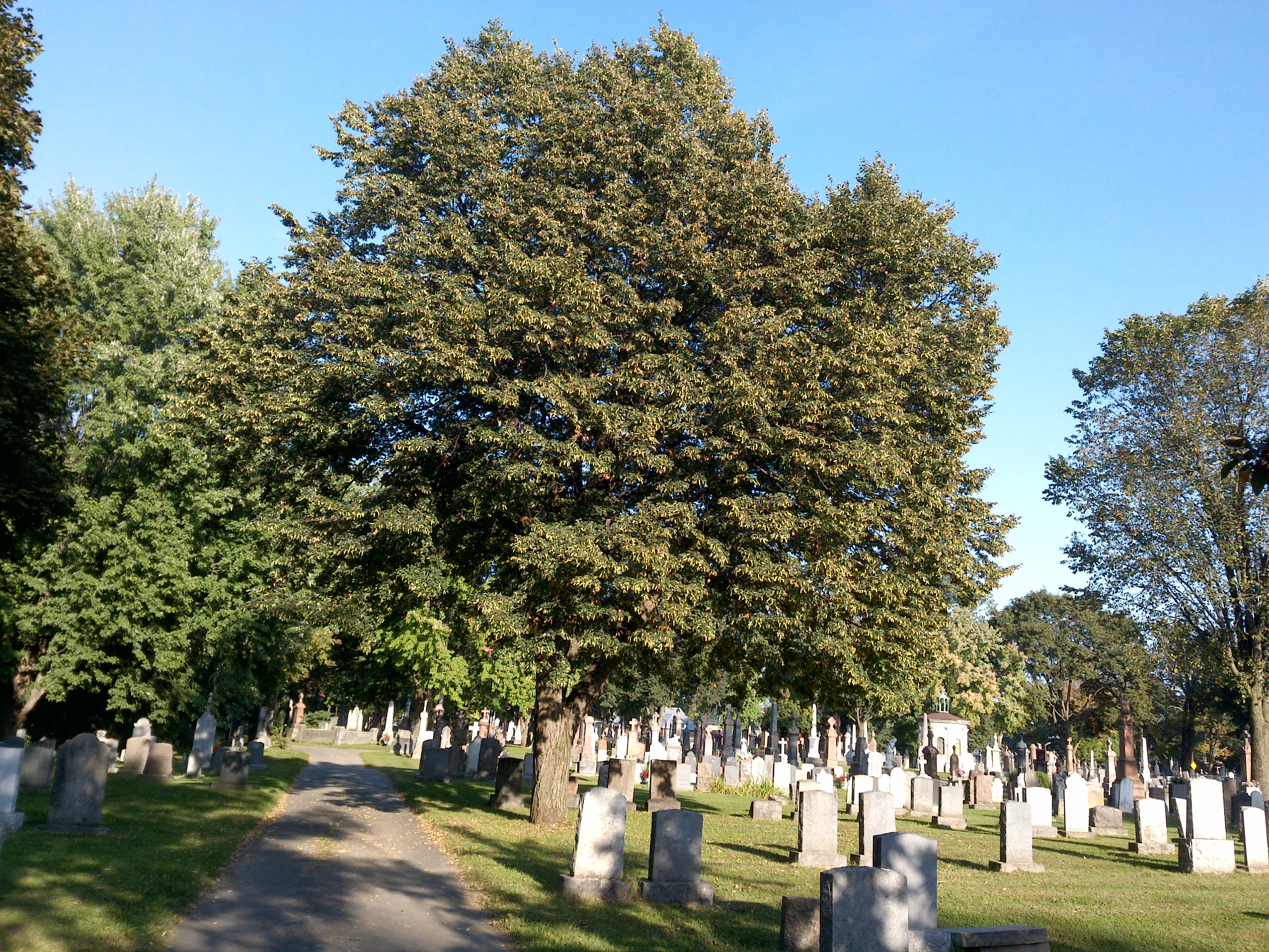
"name": "27caf752-231001_163250_Garmin_Oregon7xx_DSC04306.jpg",
"owner": "vKApOnDiwjaSVG3dsP3mDQx4C3g2",
"projects": [
"8Fu4BtpSZNfqPefyaNQh",
"dTeLVe9vEcJB0QKJjjsG",
"FNC1oLpw7yLLJ00srapF"
],
"r": 0.11578947368421053,
"split": "train",
"split.8Fu4BtpSZNfqPefyaNQh": "train",
"split.FNC1oLpw7yLLJ00srapF": "train",
"split.dTeLVe9vEcJB0QKJjjsG": "valid",
"tags": [
"8Fu4BtpSZNfqPefyaNQh:status:approved",
"dTeLVe9vEcJB0QKJjjsG:status:annotated",
"FNC1oLpw7yLLJ00srapF:status:annotated"
],
"updated": {
"_seconds": 1707833738,
"_nanoseconds": 30000000
},
"updatedDate": "Feb 13, 2024",
"updatedFromRegenerate": "1708699324474",
"updatedTime": "2:15PM",
"updatedTimezone": "+00:00",
"uploader": "vKApOnDiwjaSVG3dsP3mDQx4C3g2",
"width": 3264
}
{
    "boxes": [
        {
            "label": "Tree",
            "x": 1511.9999999999995,
            "y": 1104.0000000000002,
            "width": 2243.199999999999,
            "height": 2124.8000000000006,
            "keypoints": []
        }
    ],
    "height": 2448,
    "key": "27caf752-231001_163250_Garmin_Oregon7xx_DSC04306.jpg",
    "width": 3264
}
Annotation Editor
Smart Polygon