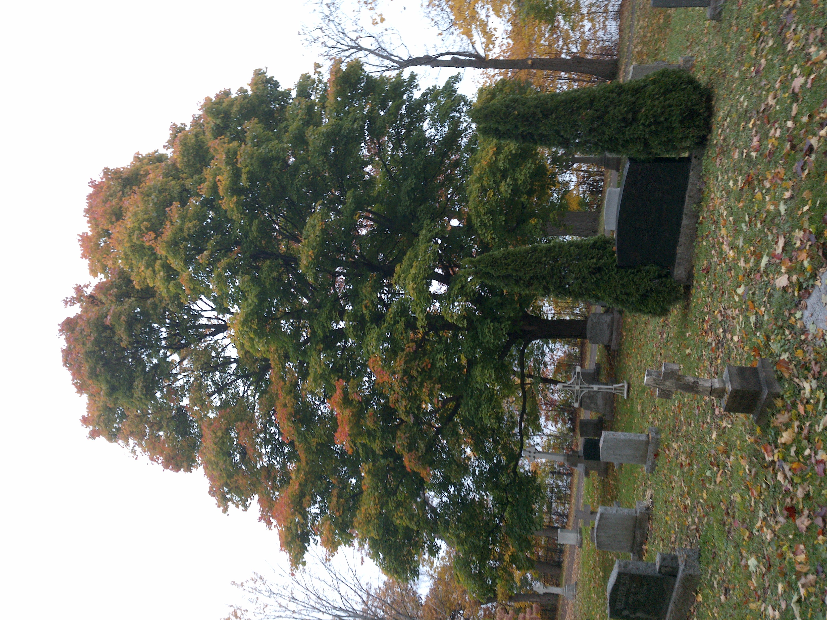
TRY THIS MODEL
Drop image here to test
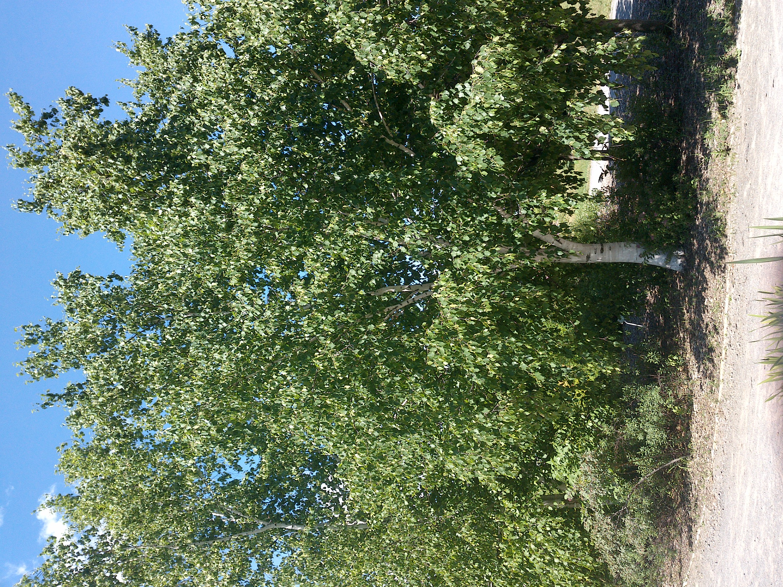
tree-detection-ntf74/6 (latest)
The training set is empty.
The validation set is empty.
The testing set is empty.
Classes
Layers
                            {
    "accumulator": null,
    "annotation_jobs": [
        "8Fu4BtpSZNfqPefyaNQh/09Ht0kqXq65p3LHkENUX",
        "dTeLVe9vEcJB0QKJjjsG/ArDgqhjaHL3Zw0MEL0ao",
        "FNC1oLpw7yLLJ00srapF/BjiKwCgMdaN3VqYymZFQ"
    ],
    "annotations": {
        "trees": {
            "original": {
                "annotation": "[{\"id\":134,\"image_id\":93,\"category_id\":31,\"segmentation\":[],\"bbox\":[236.83767412645028,84.34543178973716,1699.863201968669,2218.933667083855],\"ignore\":0,\"iscrowd\":0,\"area\":3771883.6882852428}]",
                "format": "json",
                "source": "coco"
            },
            "converted": "{\"key\":\"a98ced84-200704_150013_Garmin_Oregon7xx_DSC00358.jpg\",\"boxes\":[{\"label\":\"Tree\",\"x\":1086.7692751107847,\"y\":1193.8122653316648,\"width\":1699.863201968669,\"height\":2218.933667083855,\"keypoints\":[]}],\"width\":1944,\"height\":2592}",
            "extra": null,
            "used": true,
            "key": [
                "a98ced84-200704_150013_Garmin_Oregon7xx_DSC00358.jpg"
            ]
        },
        "trees-qDft": {
            "original": {
                "annotation": "[{\"id\":134,\"image_id\":93,\"category_id\":31,\"segmentation\":[],\"bbox\":[236.83767412645028,84.34543178973716,1699.863201968669,2218.933667083855],\"ignore\":0,\"iscrowd\":0,\"area\":3771883.6882852428}]",
                "format": "json",
                "source": "coco"
            },
            "extra": null,
            "used": true,
            "key": [
                "a98ced84-200704_150013_Garmin_Oregon7xx_DSC00358.jpg"
            ],
            "by": "vKApOnDiwjaSVG3dsP3mDQx4C3g2",
            "converted": "{\"key\":\"a98ced84-200704_150013_Garmin_Oregon7xx_DSC00358.jpg\",\"boxes\":[{\"label\":\"Feuillu\",\"x\":\"1086.77\",\"y\":\"1195.08\",\"width\":\"1699.86\",\"height\":\"2218.93\"}],\"width\":1944,\"height\":2592}",
            "lastSet": "1705421757191"
        },
        "Tree": {
            "original": {
                "annotation": "[{\"id\":134,\"image_id\":93,\"category_id\":31,\"segmentation\":[],\"bbox\":[236.83767412645028,84.34543178973716,1699.863201968669,2218.933667083855],\"ignore\":0,\"iscrowd\":0,\"area\":3771883.6882852428}]",
                "format": "json",
                "source": "coco"
            },
            "converted": "{\"key\":\"a98ced84-200704_150013_Garmin_Oregon7xx_DSC00358.jpg\",\"boxes\":[{\"label\":\"Tree\",\"x\":1086.7692751107847,\"y\":1193.8122653316648,\"width\":1699.863201968669,\"height\":2218.933667083855,\"keypoints\":[]}],\"width\":1944,\"height\":2592}",
            "extra": null,
            "used": true,
            "key": [
                "a98ced84-200704_150013_Garmin_Oregon7xx_DSC00358.jpg"
            ]
        }
    },
    "camera": "Garmin Oregon 7xx",
    "classes": [
        "trees",
        "trees-qDft",
        "Tree"
    ],
    "created": {
        "_seconds": 1705367198,
        "_nanoseconds": 162000000
    },
    "datasets": [
        "8Fu4BtpSZNfqPefyaNQh",
        "dTeLVe9vEcJB0QKJjjsG",
        "FNC1oLpw7yLLJ00srapF"
    ],
    "extension": "jpg",
    "hashes": [
        "cd5346d887e42719c3c769f01ba3145f"
    ],
    "height": 2592,
    "id": "WVzox8oYlrS6E7e3nQ61",
    "label": [
        "Unlabeled"
    ],
    "metadata": {
        "ExifVersion": "0220",
        "GPSLatitude": "46,50,24.78030116182245",
        "GPSAltitude": "8.1177015547371",
        "GPSAltitudeRef": "0",
        "DateTime": "2020:07:04 15:00:13",
        "GPSMapDatum": "WGS-84",
        "DateTimeOriginal": "2020:07:04 15:00:13",
        "FlashpixVersion": "0100",
        "WhiteBalance": "Auto white balance",
        "GPSLatitudeRef": "N",
        "GPSVersionID": "2.2.0.0",
        "ExifIFDPointer": "124",
        "Flash": "Flash did not fire, auto mode",
        "FNumber": "2.650000096622392",
        "GPSLongitudeRef": "W",
        "FocalLengthIn35mmFilm": "31",
        "Make": "Garmin",
        "GPSLongitude": "71,12,41.13090858380539",
        "Orientation": "right-top",
        "GPSImgDirection": "38.936180512372125",
        "GPSImgDirectionRef": "T",
        "GPSInfoIFDPointer": "290",
        "DigitalZoomRatio": "0",
        "FocalLength": "4.081999780895211",
        "Model": "Oregon 7xx"
    },
    "name": "a98ced84-200704_150013_Garmin_Oregon7xx_DSC00358.jpg",
    "owner": "vKApOnDiwjaSVG3dsP3mDQx4C3g2",
    "projects": [
        "8Fu4BtpSZNfqPefyaNQh",
        "dTeLVe9vEcJB0QKJjjsG",
        "FNC1oLpw7yLLJ00srapF"
    ],
    "r": 0.03,
    "split": "train",
    "split.8Fu4BtpSZNfqPefyaNQh": "train",
    "split.FNC1oLpw7yLLJ00srapF": "test",
    "split.dTeLVe9vEcJB0QKJjjsG": "train",
    "tags": [
        "8Fu4BtpSZNfqPefyaNQh:status:approved",
        "dTeLVe9vEcJB0QKJjjsG:status:annotated",
        "FNC1oLpw7yLLJ00srapF:status:approved"
    ],
    "updated": {
        "_seconds": 1707833311,
        "_nanoseconds": 104000000
    },
    "updatedDate": "Feb 13, 2024",
    "updatedFromRegenerate": "1705421757191",
    "updatedTime": "2:08PM",
    "updatedTimezone": "+00:00",
    "uploader": "vKApOnDiwjaSVG3dsP3mDQx4C3g2",
    "width": 1944
}
{
    "boxes": [
        {
            "label": "Tree",
            "x": 1086.7692751107847,
            "y": 1193.8122653316648,
            "width": 1699.863201968669,
            "height": 2218.933667083855,
            "keypoints": []
        }
    ],
    "height": 2592,
    "key": "a98ced84-200704_150013_Garmin_Oregon7xx_DSC00358.jpg",
    "width": 1944
}
Annotation Editor
Smart Polygon