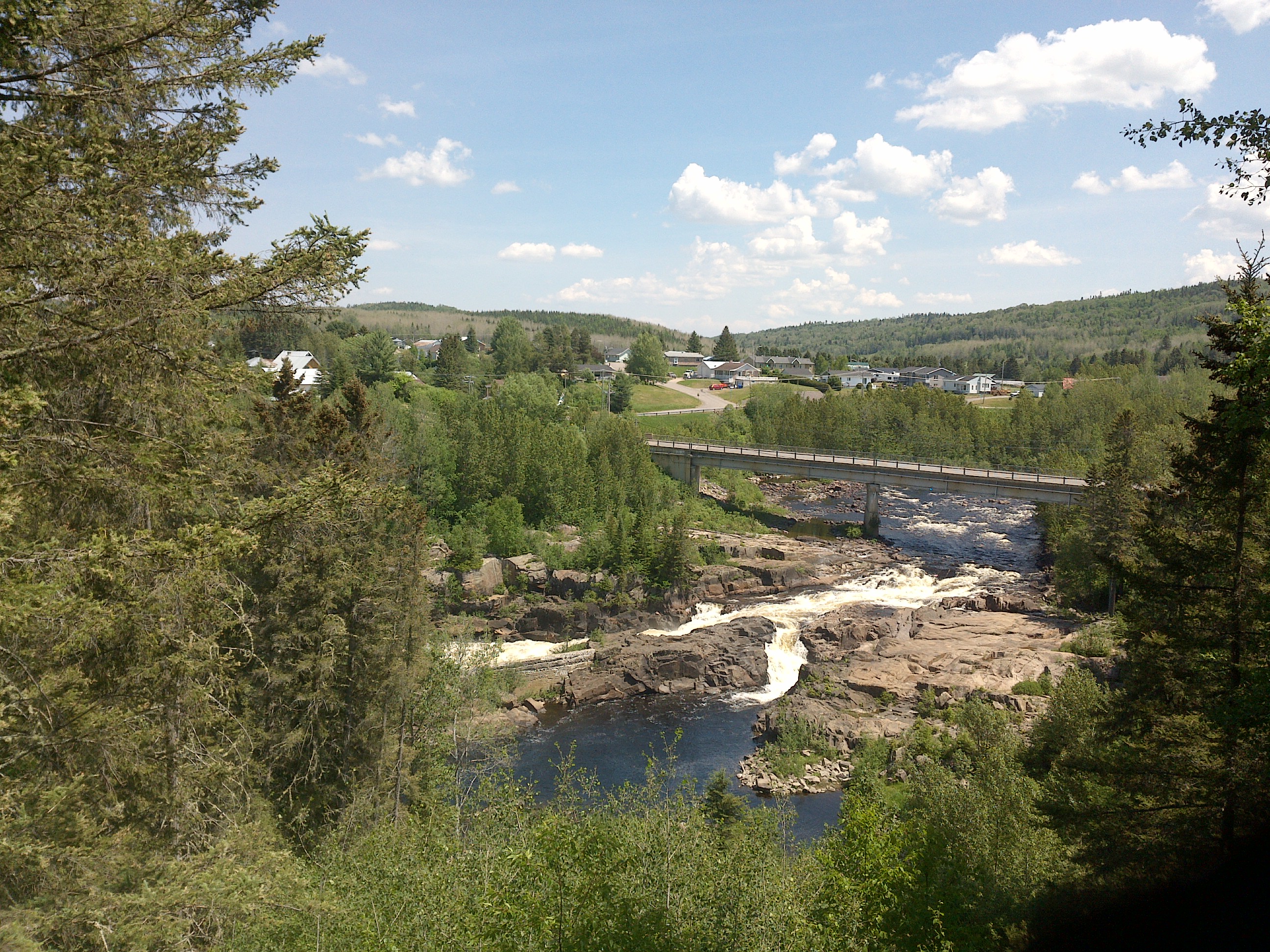
TRY THIS MODEL
Drop image here to test
tree-detection-ntf74/6 (latest)
The training set is empty.
The validation set is empty.
The testing set is empty.
Classes
Layers
{
"accumulator": null,
"annotation_jobs": [
"8Fu4BtpSZNfqPefyaNQh/qgfW922dieC7zNQJUzhV",
"FNC1oLpw7yLLJ00srapF/cvWua6py6B3jt9D92TgZ"
],
"annotations": {
"trees": {
"original": {
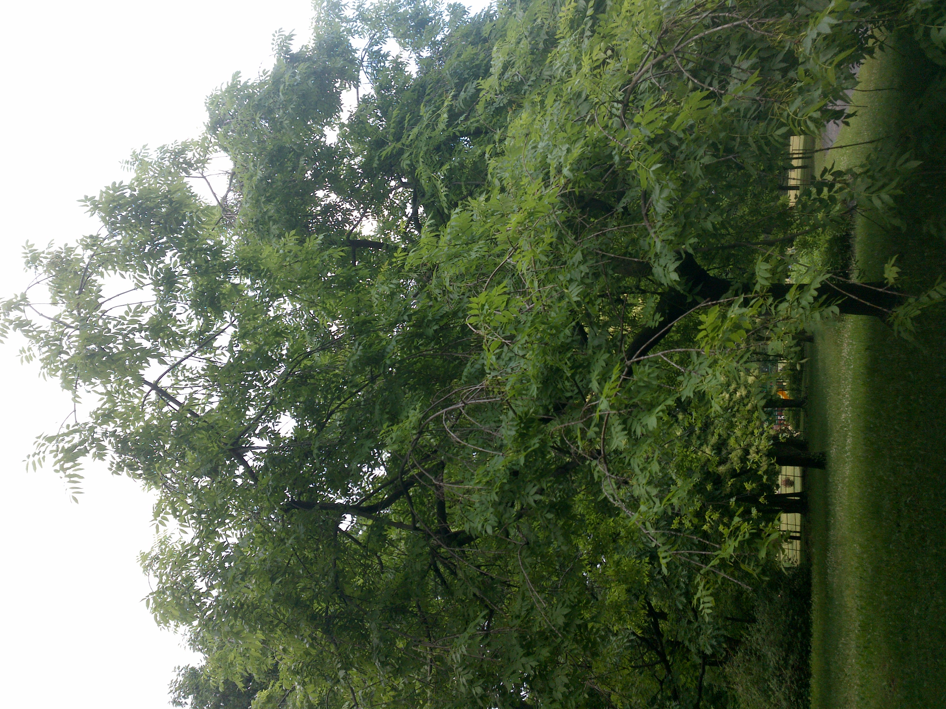
"annotation": "[{\"id\":82,\"image_id\":51,\"category_id\":31,\"segmentation\":[],\"bbox\":[1030.4,572.8,982.4,1392],\"ignore\":0,\"iscrowd\":0,\"area\":1367500.8},{\"id\":83,\"image_id\":51,\"category_id\":31,\"segmentation\":[],\"bbox\":[1891.1999999999982,3.1999999999999993,1366.4,1814.4000000000005],\"ignore\":0,\"iscrowd\":0,\"area\":2479196.160000001}]",
"format": "json",
"source": "coco"
},
"converted": "{\"key\":\"972550de-210313_170426_Garmin_Oregon7xx_DSC02538.jpg\",\"boxes\":[{\"label\":\"Tree\",\"x\":1521.6000000000001,\"y\":1268.8,\"width\":982.4,\"height\":1392,\"keypoints\":[]},{\"label\":\"Tree\",\"x\":2574.3999999999983,\"y\":910.4000000000003,\"width\":1366.4,\"height\":1814.4000000000005,\"keypoints\":[]}],\"width\":3264,\"height\":2448}",
"extra": null,
"used": true,
"key": [
"972550de-210313_170426_Garmin_Oregon7xx_DSC02538.jpg"
]
},
"Tree": {
"original": {
"annotation": "[{\"id\":82,\"image_id\":51,\"category_id\":31,\"segmentation\":[],\"bbox\":[1030.4,572.8,982.4,1392],\"ignore\":0,\"iscrowd\":0,\"area\":1367500.8},{\"id\":83,\"image_id\":51,\"category_id\":31,\"segmentation\":[],\"bbox\":[1891.1999999999982,3.1999999999999993,1366.4,1814.4000000000005],\"ignore\":0,\"iscrowd\":0,\"area\":2479196.160000001}]",
"format": "json",
"source": "coco"
},
"extra": null,
"used": true,
"key": [
"972550de-210313_170426_Garmin_Oregon7xx_DSC02538.jpg"
],
"by": "vKApOnDiwjaSVG3dsP3mDQx4C3g2",
"converted": "{\"key\":\"972550de-210313_170426_Garmin_Oregon7xx_DSC02538.jpg\",\"boxes\":[{\"label\":\"Feuillu hiver\",\"x\":\"1521.60\",\"y\":\"1268.80\",\"width\":\"982.40\",\"height\":\"1392.00\"},{\"label\":\"Feuillu hiver\",\"x\":\"2574.40\",\"y\":\"910.40\",\"width\":\"1366.40\",\"height\":\"1814.40\"}],\"width\":3264,\"height\":2448}",
"lastSet": "1708697420297"
}
},
"camera": "Garmin Oregon 7xx",
"classes": [
"trees",
"Tree"
],
"created": {
"_seconds": 1705415339,
"_nanoseconds": 689000000
},
"datasets": [
"8Fu4BtpSZNfqPefyaNQh",
"FNC1oLpw7yLLJ00srapF"
],
"extension": "jpg",
"hashes": [
"df96d9ac83095f1f7bcbe1c0fc3d2474"
],
"height": 2448,
"id": "hhpUl61B132r6UuyWe3I",
"label": [
"Unlabeled"
],
"metadata": {
"ExifVersion": "0220",
"GPSLatitude": "46,47,0.3275777396408737",
"GPSAltitude": "55.79753530211575",
"GPSAltitudeRef": "0",
"DateTime": "2021:03:13 17:04:26",
"GPSMapDatum": "WGS-84",
"DateTimeOriginal": "2021:03:13 17:04:26",
"FlashpixVersion": "0100",
"WhiteBalance": "Auto white balance",
"GPSLatitudeRef": "N",
"GPSVersionID": "2.2.0.0",
"ExifIFDPointer": "124",
"Flash": "Flash did not fire",
"FNumber": "2.650000096622392",
"GPSLongitudeRef": "W",
"FocalLengthIn35mmFilm": "31",
"Make": "Garmin",
"GPSLongitude": "71,14,30.862057437780145",
"Orientation": "top-left",
"GPSImgDirection": "357.02589874784786",
"GPSImgDirectionRef": "T",
"GPSInfoIFDPointer": "290",
"DigitalZoomRatio": "0",
"FocalLength": "4.081999780895211",
"Model": "Oregon 7xx"
},
"name": "972550de-210313_170426_Garmin_Oregon7xx_DSC02538.jpg",
"owner": "vKApOnDiwjaSVG3dsP3mDQx4C3g2",
"projects": [
"8Fu4BtpSZNfqPefyaNQh",
"FNC1oLpw7yLLJ00srapF"
],
"r": 0.08602150537634409,
"split": "train",
"split.8Fu4BtpSZNfqPefyaNQh": "train",
"split.FNC1oLpw7yLLJ00srapF": "valid",
"tags": [
"8Fu4BtpSZNfqPefyaNQh:status:approved",
"FNC1oLpw7yLLJ00srapF:status:annotated"
],
"updated": {
"_seconds": 1707833529,
"_nanoseconds": 703000000
},
"updatedDate": "Feb 13, 2024",
"updatedFromRegenerate": "1708697420297",
"updatedTime": "2:12PM",
"updatedTimezone": "+00:00",
"uploader": "vKApOnDiwjaSVG3dsP3mDQx4C3g2",
"width": 3264
}
{
    "boxes": [
        {
            "label": "Tree",
            "x": 1521.6000000000001,
            "y": 1268.8,
            "width": 982.4,
            "height": 1392,
            "keypoints": []
        },
        {
            "label": "Tree",
            "x": 2574.3999999999983,
            "y": 910.4000000000003,
            "width": 1366.4,
            "height": 1814.4000000000005,
            "keypoints": []
        }
    ],
    "height": 2448,
    "key": "972550de-210313_170426_Garmin_Oregon7xx_DSC02538.jpg",
    "width": 3264
}
Annotation Editor
Smart Polygon