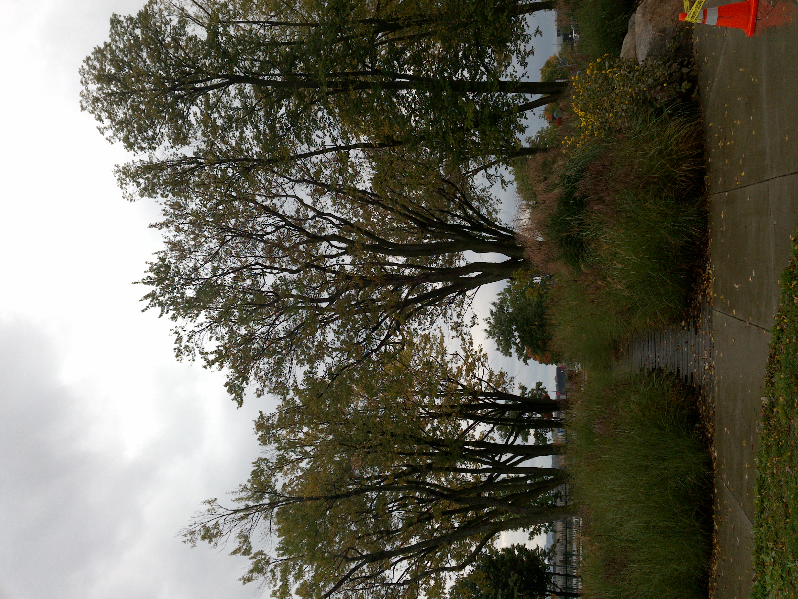
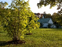
TRY THIS MODEL
Drop image here to test
tree-detection-ntf74/6 (latest)
The training set is empty.
The validation set is empty.
The testing set is empty.
Classes
Layers
{
"accumulator": null,
"annotation_jobs": [
"8Fu4BtpSZNfqPefyaNQh/qgfW922dieC7zNQJUzhV",
"FNC1oLpw7yLLJ00srapF/cvWua6py6B3jt9D92TgZ"
],
"annotations": {
"trees": {
"original": {
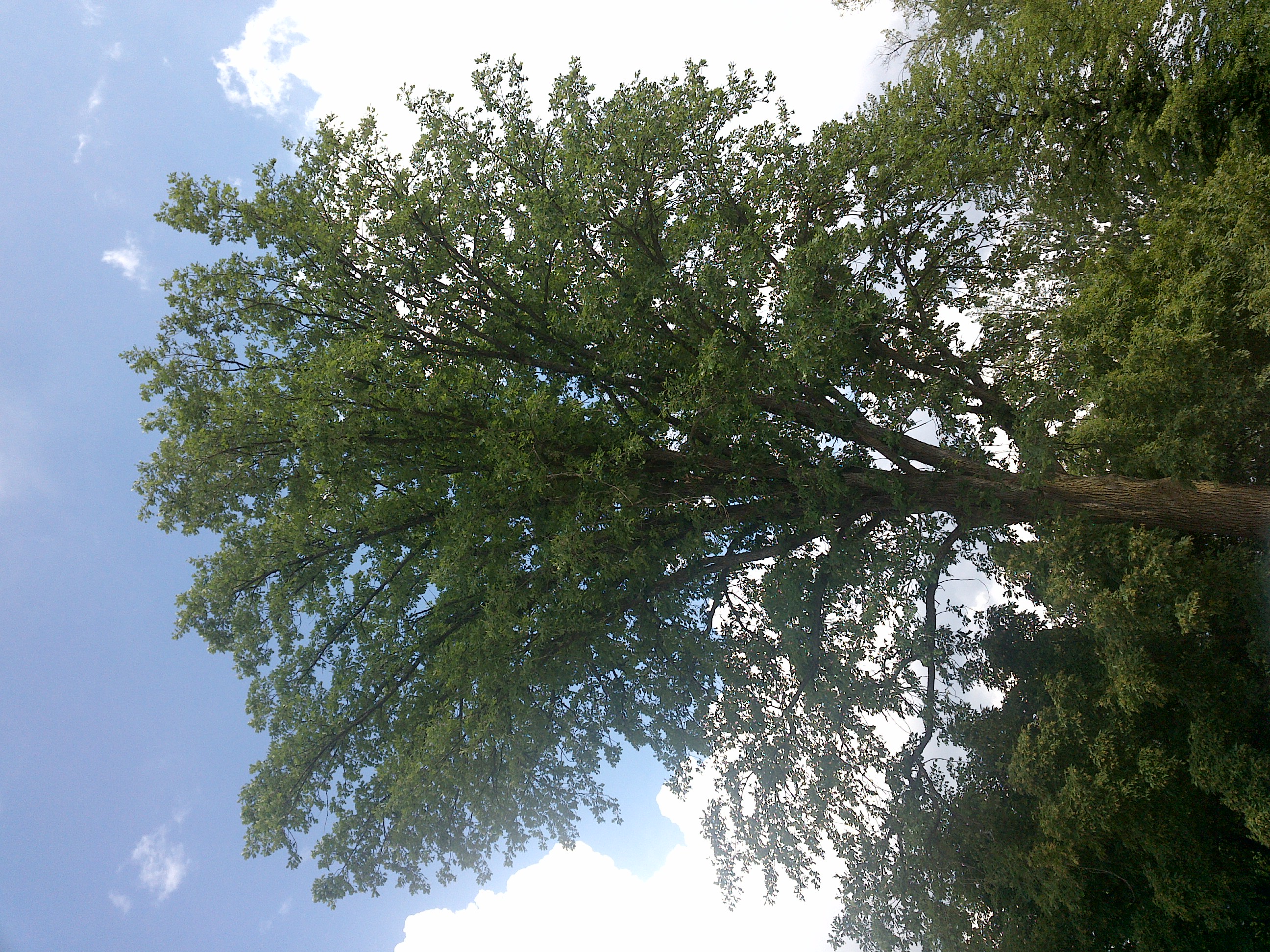
"annotation": "[{\"id\":1,\"image_id\":1,\"category_id\":31,\"segmentation\":[],\"bbox\":[2540.8,486.4,505.59999999999985,1231.9999999999998],\"ignore\":0,\"iscrowd\":0,\"area\":622899.1999999997},{\"id\":2,\"image_id\":1,\"category_id\":31,\"segmentation\":[],\"bbox\":[2131.2,492.8,371.20000000000005,1184],\"ignore\":0,\"iscrowd\":0,\"area\":439500.80000000005},{\"id\":3,\"image_id\":1,\"category_id\":31,\"segmentation\":[],\"bbox\":[12.8,12.799999999999997,1084.8000000000002,2076.8],\"ignore\":0,\"iscrowd\":0,\"area\":2252912.6400000006}]",
"format": "json",
"source": "coco"
},
"converted": "{\"key\":\"42a57ff7-201229_153234_Garmin_Oregon7xx_DSC02142.jpg\",\"boxes\":[{\"label\":\"Tree\",\"x\":2793.6,\"y\":1102.3999999999999,\"width\":505.59999999999985,\"height\":1231.9999999999998,\"keypoints\":[]},{\"label\":\"Tree\",\"x\":2316.7999999999997,\"y\":1084.8,\"width\":371.20000000000005,\"height\":1184,\"keypoints\":[]},{\"label\":\"Tree\",\"x\":555.2,\"y\":1051.2,\"width\":1084.8000000000002,\"height\":2076.8,\"keypoints\":[]}],\"width\":3264,\"height\":2448}",
"extra": null,
"used": true,
"key": [
"42a57ff7-201229_153234_Garmin_Oregon7xx_DSC02142.jpg"
]
},
"Tree": {
"original": {
"annotation": "[{\"id\":1,\"image_id\":1,\"category_id\":31,\"segmentation\":[],\"bbox\":[2540.8,486.4,505.59999999999985,1231.9999999999998],\"ignore\":0,\"iscrowd\":0,\"area\":622899.1999999997},{\"id\":2,\"image_id\":1,\"category_id\":31,\"segmentation\":[],\"bbox\":[2131.2,492.8,371.20000000000005,1184],\"ignore\":0,\"iscrowd\":0,\"area\":439500.80000000005},{\"id\":3,\"image_id\":1,\"category_id\":31,\"segmentation\":[],\"bbox\":[12.8,12.799999999999997,1084.8000000000002,2076.8],\"ignore\":0,\"iscrowd\":0,\"area\":2252912.6400000006}]",
"format": "json",
"source": "coco"
},
"extra": null,
"used": true,
"key": [
"42a57ff7-201229_153234_Garmin_Oregon7xx_DSC02142.jpg"
],
"by": "vKApOnDiwjaSVG3dsP3mDQx4C3g2",
"converted": "{\"key\":\"42a57ff7-201229_153234_Garmin_Oregon7xx_DSC02142.jpg\",\"boxes\":[{\"label\":\"Conifère\",\"x\":\"2793.60\",\"y\":\"1102.40\",\"width\":\"505.60\",\"height\":\"1232.00\"},{\"label\":\"Conifère\",\"x\":\"2315.59\",\"y\":\"1083.59\",\"width\":\"371.20\",\"height\":\"1184.00\"},{\"label\":\"Feuillu hiver\",\"x\":\"555.20\",\"y\":\"1051.20\",\"width\":\"1084.80\",\"height\":\"2076.80\"},{\"label\":\"Feuillu hiver\",\"x\":\"1347.84\",\"y\":\"726.23\",\"width\":\"885.68\",\"height\":\"1382.46\"}],\"width\":3264,\"height\":2448}",
"lastSet": "1708697471025"
}
},
"camera": "Garmin Oregon 7xx",
"classes": [
"trees",
"Tree"
],
"created": {
"_seconds": 1705415339,
"_nanoseconds": 689000000
},
"datasets": [
"8Fu4BtpSZNfqPefyaNQh",
"FNC1oLpw7yLLJ00srapF"
],
"extension": "jpg",
"hashes": [
"275917e7790dffca568dba28d25e3b37"
],
"height": 2448,
"id": "TORnmrJOSIkZwTPRqhaj",
"label": [
"Unlabeled"
],
"metadata": {
"ExifVersion": "0220",
"GPSLatitude": "48,23,52.84372773887189",
"GPSAltitude": "156.36373934042615",
"GPSAltitudeRef": "0",
"DateTime": "2020:12:29 15:32:34",
"GPSMapDatum": "WGS-84",
"DateTimeOriginal": "2020:12:29 15:32:34",
"FlashpixVersion": "0100",
"WhiteBalance": "Auto white balance",
"GPSLatitudeRef": "N",
"GPSVersionID": "2.2.0.0",
"ExifIFDPointer": "124",
"Flash": "Flash fired, compulsory flash mode",
"FNumber": "2.650000096622392",
"GPSLongitudeRef": "W",
"FocalLengthIn35mmFilm": "31",
"Make": "Garmin",
"GPSLongitude": "71,46,28.902347597769985",
"Orientation": "top-left",
"GPSImgDirection": "216.9654259046062",
"GPSImgDirectionRef": "T",
"GPSInfoIFDPointer": "290",
"DigitalZoomRatio": "0",
"FocalLength": "4.081999780895211",
"Model": "Oregon 7xx"
},
"name": "42a57ff7-201229_153234_Garmin_Oregon7xx_DSC02142.jpg",
"owner": "vKApOnDiwjaSVG3dsP3mDQx4C3g2",
"projects": [
"8Fu4BtpSZNfqPefyaNQh",
"FNC1oLpw7yLLJ00srapF"
],
"r": 0.16129032258064516,
"split": "valid",
"split.8Fu4BtpSZNfqPefyaNQh": "valid",
"split.FNC1oLpw7yLLJ00srapF": "train",
"tags": [
"8Fu4BtpSZNfqPefyaNQh:status:approved",
"FNC1oLpw7yLLJ00srapF:status:annotated"
],
"updated": {
"_seconds": 1707833529,
"_nanoseconds": 14000000
},
"updatedDate": "Feb 13, 2024",
"updatedFromRegenerate": "1708697471025",
"updatedTime": "2:12PM",
"updatedTimezone": "+00:00",
"uploader": "vKApOnDiwjaSVG3dsP3mDQx4C3g2",
"width": 3264
}
{
    "boxes": [
        {
            "label": "Tree",
            "x": 2793.6,
            "y": 1102.3999999999999,
            "width": 505.59999999999985,
            "height": 1231.9999999999998,
            "keypoints": []
        },
        {
            "label": "Tree",
            "x": 2316.7999999999997,
            "y": 1084.8,
            "width": 371.20000000000005,
            "height": 1184,
            "keypoints": []
        },
        {
            "label": "Tree",
            "x": 555.2,
            "y": 1051.2,
            "width": 1084.8000000000002,
            "height": 2076.8,
            "keypoints": []
        }
    ],
    "height": 2448,
    "key": "42a57ff7-201229_153234_Garmin_Oregon7xx_DSC02142.jpg",
    "width": 3264
}
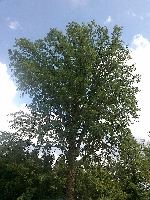
Annotation Editor
Smart Polygon