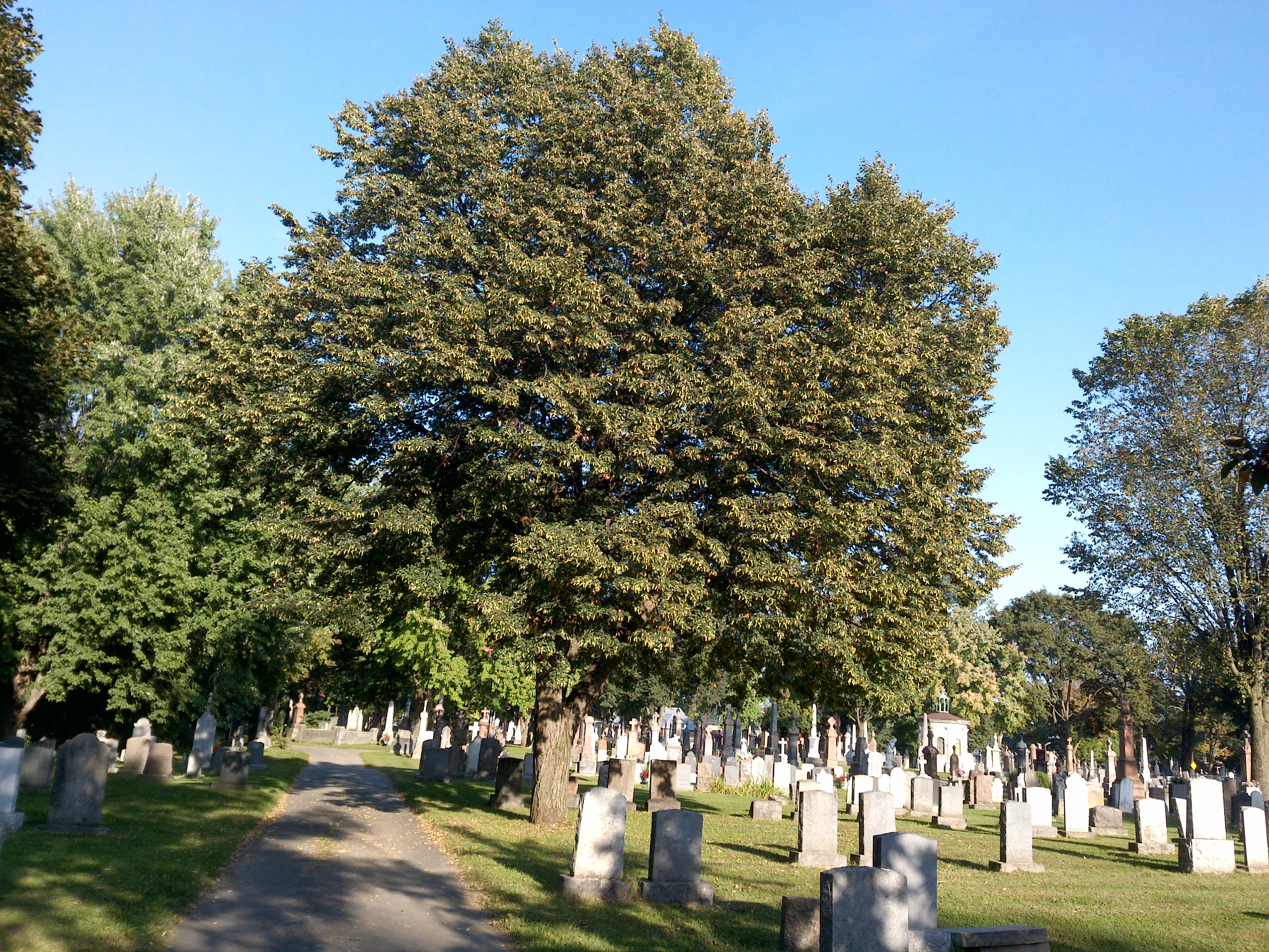
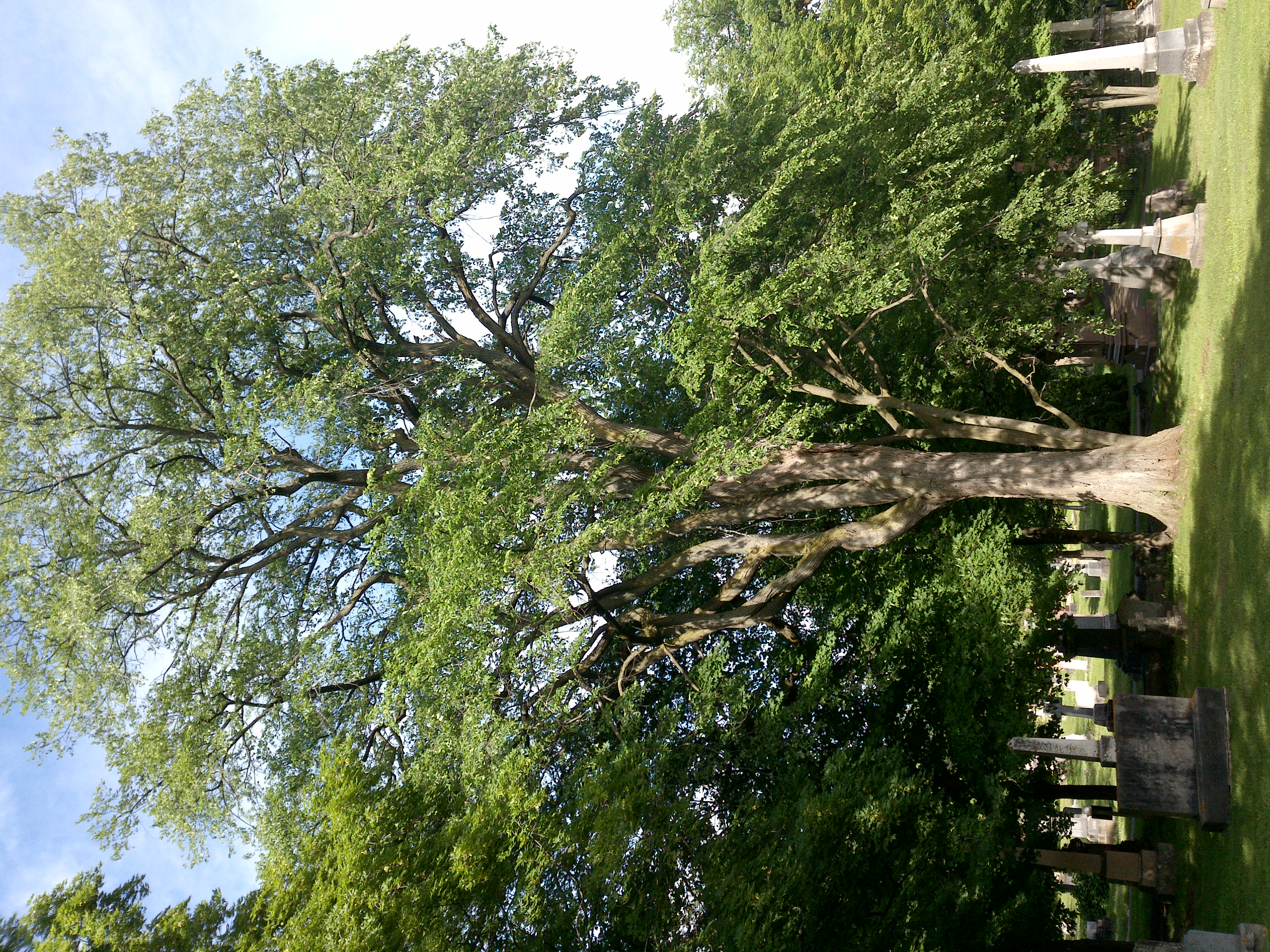
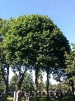
TRY THIS MODEL
Drop image here to test
tree-detection-ntf74/6 (latest)
The training set is empty.
The validation set is empty.
The testing set is empty.
Classes
Layers
{
"accumulator": null,
"annotation_jobs": [
"8Fu4BtpSZNfqPefyaNQh/09Ht0kqXq65p3LHkENUX",
"dTeLVe9vEcJB0QKJjjsG/ArDgqhjaHL3Zw0MEL0ao",
"FNC1oLpw7yLLJ00srapF/BjiKwCgMdaN3VqYymZFQ"
],
"annotations": {
"trees": {
"original": {
"annotation": "[{\"id\":141,\"image_id\":99,\"category_id\":31,\"segmentation\":[],\"bbox\":[19.46433041301627,366.57822277847316,1670.688360450563,2215.6896120150186],\"ignore\":0,\"iscrowd\":0,\"area\":3701726.845164716}]",
"format": "json",
"source": "coco"
},
"converted": "{\"key\":\"50dab595-200706_171522_Garmin_Oregon7xx_DSC00434.jpg\",\"boxes\":[{\"label\":\"Tree\",\"x\":854.8085106382978,\"y\":1474.4230287859825,\"width\":1670.688360450563,\"height\":2215.6896120150186,\"keypoints\":[]}],\"width\":1944,\"height\":2592}",
"extra": null,
"used": true,
"key": [
"50dab595-200706_171522_Garmin_Oregon7xx_DSC00434.jpg"
]
},
"trees-qDft": {
"original": {
"annotation": "[{\"id\":141,\"image_id\":99,\"category_id\":31,\"segmentation\":[],\"bbox\":[19.46433041301627,366.57822277847316,1670.688360450563,2215.6896120150186],\"ignore\":0,\"iscrowd\":0,\"area\":3701726.845164716}]",
"format": "json",
"source": "coco"
},
"extra": null,
"used": true,
"key": [
"50dab595-200706_171522_Garmin_Oregon7xx_DSC00434.jpg"
],
"by": "vKApOnDiwjaSVG3dsP3mDQx4C3g2",
"converted": "{\"key\":\"50dab595-200706_171522_Garmin_Oregon7xx_DSC00434.jpg\",\"boxes\":[{\"label\":\"Feuillu\",\"x\":\"854.81\",\"y\":\"1474.42\",\"width\":\"1670.69\",\"height\":\"2215.69\"}],\"width\":1944,\"height\":2592}",
"lastSet": "1705421794637"
},
"Tree": {
"original": {
"annotation": "[{\"id\":141,\"image_id\":99,\"category_id\":31,\"segmentation\":[],\"bbox\":[19.46433041301627,366.57822277847316,1670.688360450563,2215.6896120150186],\"ignore\":0,\"iscrowd\":0,\"area\":3701726.845164716}]",
"format": "json",
"source": "coco"
},
"converted": "{\"key\":\"50dab595-200706_171522_Garmin_Oregon7xx_DSC00434.jpg\",\"boxes\":[{\"label\":\"Tree\",\"x\":854.8085106382978,\"y\":1474.4230287859825,\"width\":1670.688360450563,\"height\":2215.6896120150186,\"keypoints\":[]}],\"width\":1944,\"height\":2592}",
"extra": null,
"used": true,
"key": [
"50dab595-200706_171522_Garmin_Oregon7xx_DSC00434.jpg"
]
}
},
"camera": "Garmin Oregon 7xx",
"classes": [
"trees",
"trees-qDft",
"Tree"
],
"created": {
"_seconds": 1705367192,
"_nanoseconds": 893000000
},
"datasets": [
"8Fu4BtpSZNfqPefyaNQh",
"dTeLVe9vEcJB0QKJjjsG",
"FNC1oLpw7yLLJ00srapF"
],
"extension": "jpg",
"hashes": [
"6dcc494f44f4501e2322da3642aff3a2"
],
"height": 2592,
"id": "FguFW8oSrs86P5LxQJ3s",
"label": [
"Unlabeled"
],
"metadata": {
"ExifVersion": "0220",
"GPSLatitude": "46,48,23.49550332576322",
"GPSAltitude": "20.144964238405926",
"GPSAltitudeRef": "0",
"DateTime": "2020:07:06 17:15:22",
"GPSMapDatum": "WGS-84",
"DateTimeOriginal": "2020:07:06 17:15:22",
"FlashpixVersion": "0100",
"WhiteBalance": "Auto white balance",
"GPSLatitudeRef": "N",
"GPSVersionID": "2.2.0.0",
"ExifIFDPointer": "124",
"Flash": "Flash did not fire, auto mode",
"FNumber": "2.650000096622392",
"GPSLongitudeRef": "W",
"FocalLengthIn35mmFilm": "31",
"Make": "Garmin",
"GPSLongitude": "71,15,48.52216727520367",
"Orientation": "right-top",
"GPSImgDirection": "27.56708544009194",
"GPSImgDirectionRef": "T",
"GPSInfoIFDPointer": "290",
"DigitalZoomRatio": "0",
"FocalLength": "4.081999780895211",
"Model": "Oregon 7xx"
},
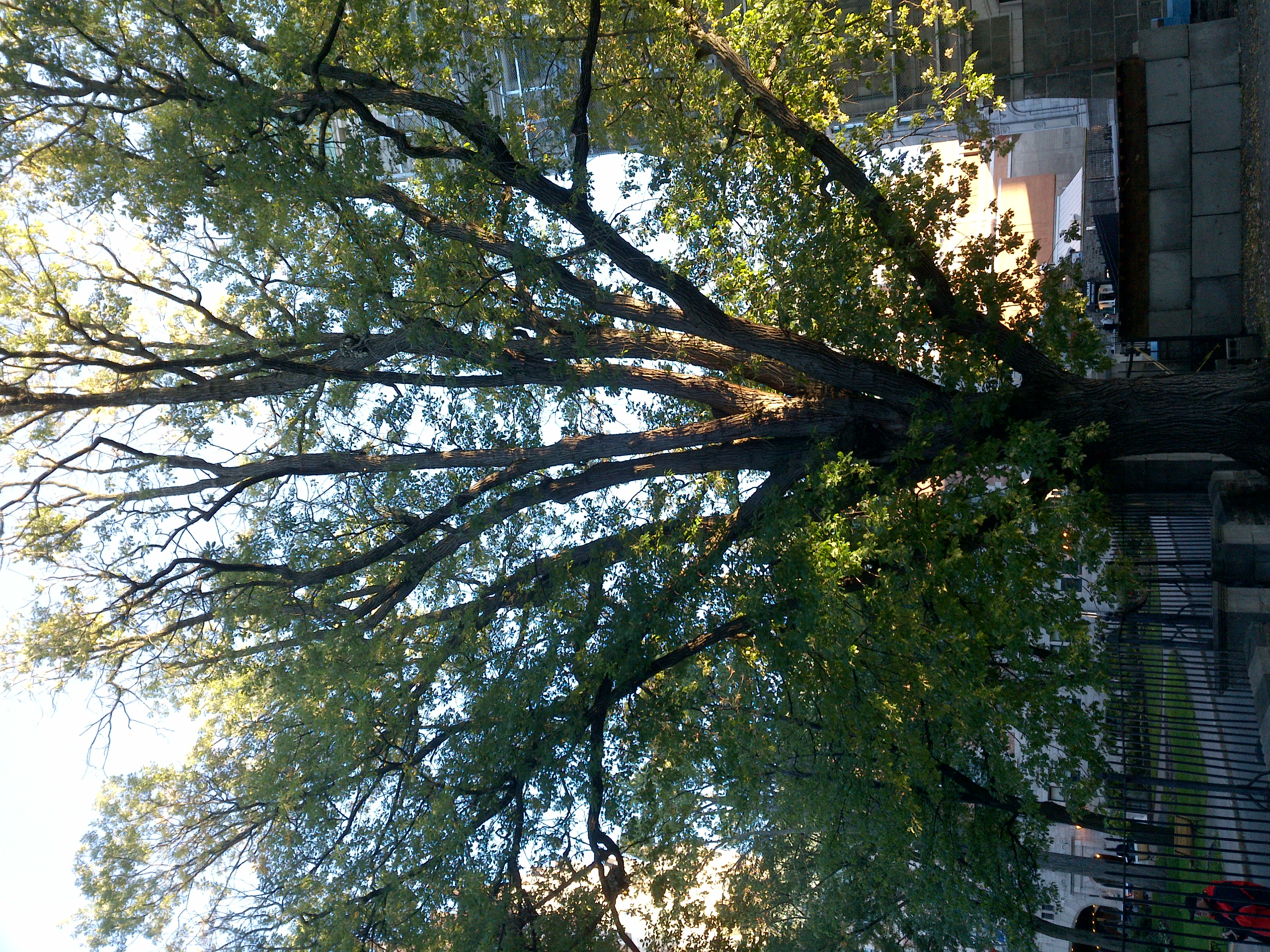
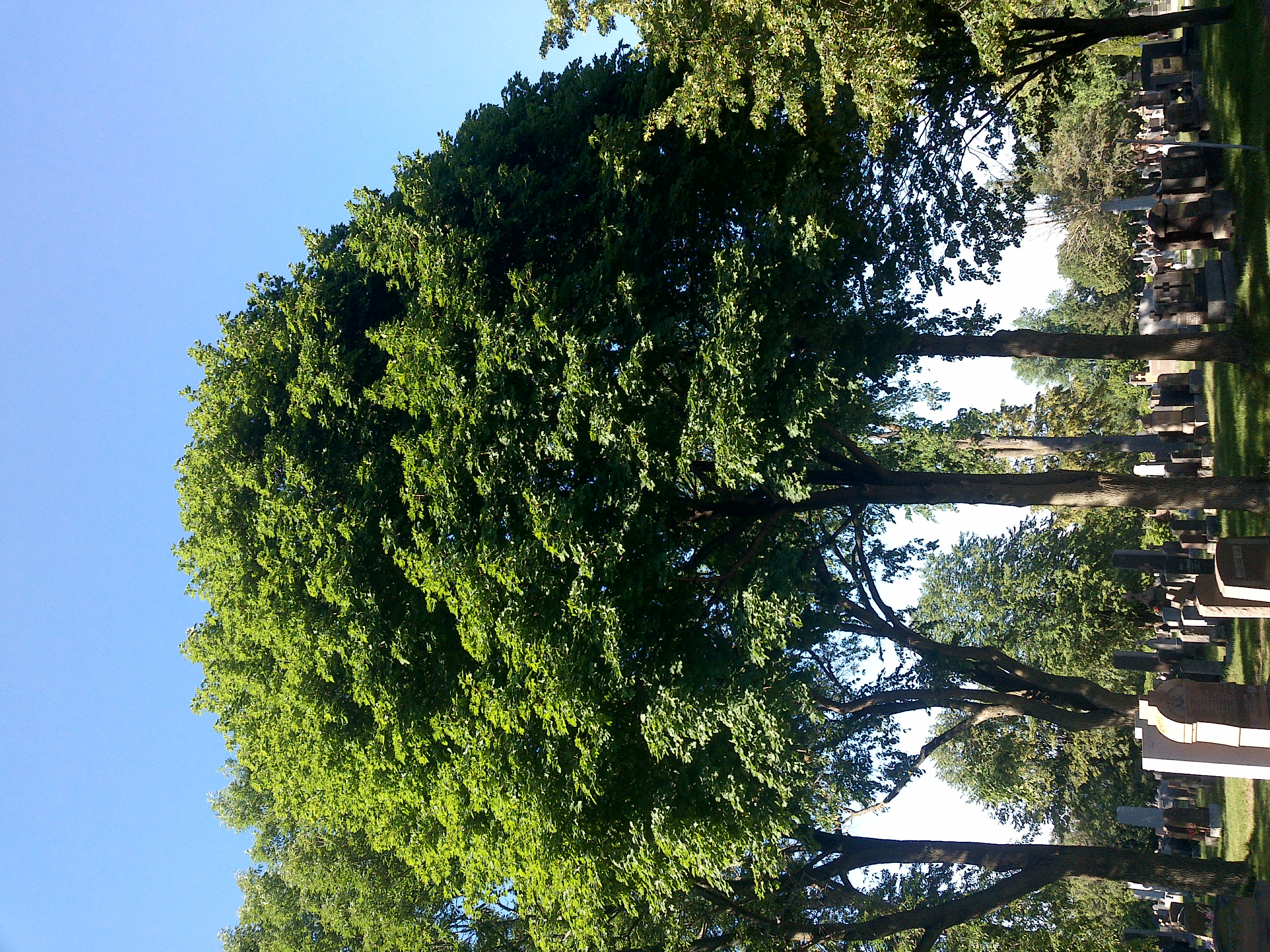
"name": "50dab595-200706_171522_Garmin_Oregon7xx_DSC00434.jpg",
"owner": "vKApOnDiwjaSVG3dsP3mDQx4C3g2",
"projects": [
"8Fu4BtpSZNfqPefyaNQh",
"dTeLVe9vEcJB0QKJjjsG",
"FNC1oLpw7yLLJ00srapF"
],
"r": 0.11,
"split": "train",
"split.8Fu4BtpSZNfqPefyaNQh": "train",
"split.FNC1oLpw7yLLJ00srapF": "train",
"split.dTeLVe9vEcJB0QKJjjsG": "train",
"tags": [
"8Fu4BtpSZNfqPefyaNQh:status:approved",
"dTeLVe9vEcJB0QKJjjsG:status:annotated",
"FNC1oLpw7yLLJ00srapF:status:approved"
],
"updated": {
"_seconds": 1707833311,
"_nanoseconds": 104000000
},
"updatedDate": "Feb 13, 2024",
"updatedFromRegenerate": "1705421794637",
"updatedTime": "2:08PM",
"updatedTimezone": "+00:00",
"uploader": "vKApOnDiwjaSVG3dsP3mDQx4C3g2",
"width": 1944
}
{
    "boxes": [
        {
            "label": "Tree",
            "x": 854.8085106382978,
            "y": 1474.4230287859825,
            "width": 1670.688360450563,
            "height": 2215.6896120150186,
            "keypoints": []
        }
    ],
    "height": 2592,
    "key": "50dab595-200706_171522_Garmin_Oregon7xx_DSC00434.jpg",
    "width": 1944
}
Annotation Editor
Smart Polygon