TRY THIS MODEL
Drop image here to test
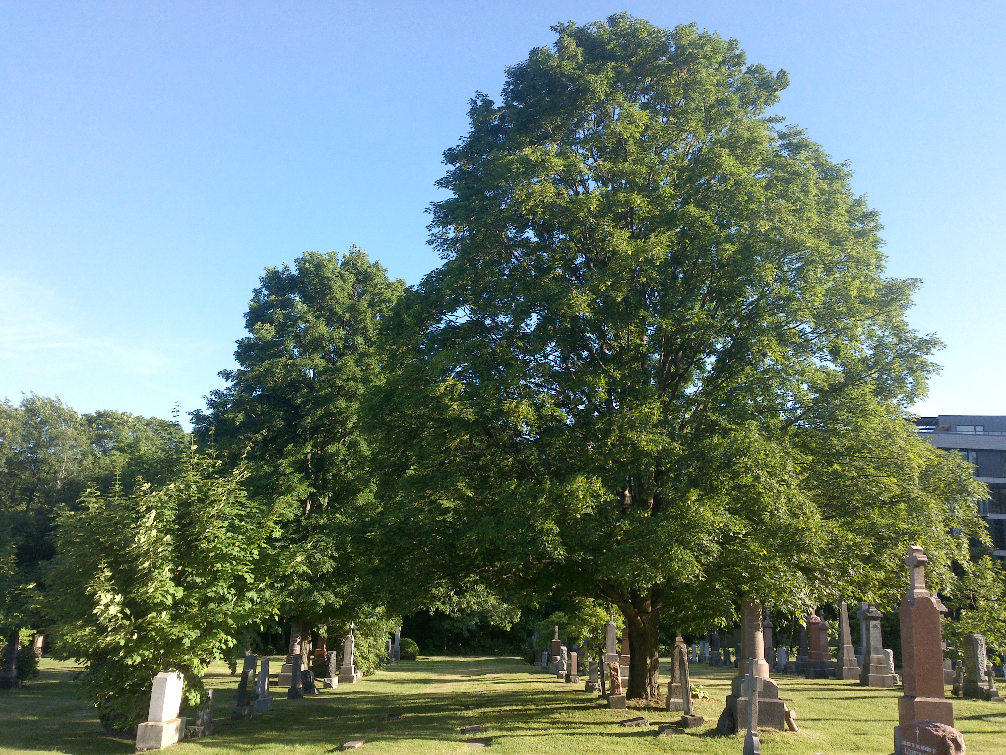
tree-detection-by-season-type/4 (latest)
The training set is empty.
The validation set is empty.
The testing set is empty.
Classes
Layers
{
"accumulator": null,
"annotation_jobs": [
"8Fu4BtpSZNfqPefyaNQh/qgfW922dieC7zNQJUzhV",
"FNC1oLpw7yLLJ00srapF/cvWua6py6B3jt9D92TgZ"
],
"annotations": {
"trees": {
"original": {
"annotation": "[{\"id\":65,\"image_id\":39,\"category_id\":31,\"segmentation\":[],\"bbox\":[25.599999999999994,17.066666666666666,2422.4,3238.4],\"ignore\":0,\"iscrowd\":0,\"area\":7844700.16}]",
"format": "json",
"source": "coco"
},
"converted": "{\"key\":\"da0ef07d-210123_163338_Garmin_Oregon7xx_DSC02277.jpg\",\"boxes\":[{\"label\":\"Tree\",\"x\":1236.8,\"y\":1636.2666666666667,\"width\":2422.4,\"height\":3238.4,\"keypoints\":[]}],\"width\":2448,\"height\":3264}",
"extra": null,
"used": true,
"key": [
"da0ef07d-210123_163338_Garmin_Oregon7xx_DSC02277.jpg"
]
},
"Tree": {
"original": {
"annotation": "[{\"id\":65,\"image_id\":39,\"category_id\":31,\"segmentation\":[],\"bbox\":[25.599999999999994,17.066666666666666,2422.4,3238.4],\"ignore\":0,\"iscrowd\":0,\"area\":7844700.16}]",
"format": "json",
"source": "coco"
},
"converted": "{\"key\":\"da0ef07d-210123_163338_Garmin_Oregon7xx_DSC02277.jpg\",\"boxes\":[{\"label\":\"Tree\",\"x\":1236.8,\"y\":1636.2666666666667,\"width\":2422.4,\"height\":3238.4,\"keypoints\":[]}],\"width\":2448,\"height\":3264}",
"extra": null,
"used": true,
"key": [
"da0ef07d-210123_163338_Garmin_Oregon7xx_DSC02277.jpg"
]
}
},
"camera": "Garmin Oregon 7xx",
"classes": [
"trees",
"Tree"
],
"created": {
"_seconds": 1705415342,
"_nanoseconds": 480000000
},
"datasets": [
"8Fu4BtpSZNfqPefyaNQh",
"FNC1oLpw7yLLJ00srapF"
],
"extension": "jpg",
"hashes": [
"b4da94fef3d6790c4b2c3b69247512bf"
],
"height": 3264,
"id": "k6PnNUJDf1FK61Wp5Ppe",
"label": [
"Unlabeled"
],
"metadata": {
"ExifVersion": "0220",
"GPSLatitude": "48,24,4.419403383243996",
"GPSAltitude": "160.7584929414694",
"GPSAltitudeRef": "0",
"DateTime": "2021:01:23 16:33:38",
"GPSMapDatum": "WGS-84",
"DateTimeOriginal": "2021:01:23 16:33:38",
"FlashpixVersion": "0100",
"WhiteBalance": "Auto white balance",
"GPSLatitudeRef": "N",
"GPSVersionID": "2.2.0.0",
"ExifIFDPointer": "124",
"Flash": "Flash fired, compulsory flash mode",
"FNumber": "2.650000096622392",
"GPSLongitudeRef": "W",
"FocalLengthIn35mmFilm": "31",
"Make": "Garmin",
"GPSLongitude": "71,46,55.43569801148378",
"Orientation": "right-top",
"GPSImgDirection": "243.12507218803475",
"GPSImgDirectionRef": "T",
"GPSInfoIFDPointer": "290",
"DigitalZoomRatio": "0",
"FocalLength": "4.081999780895211",
"Model": "Oregon 7xx"
},
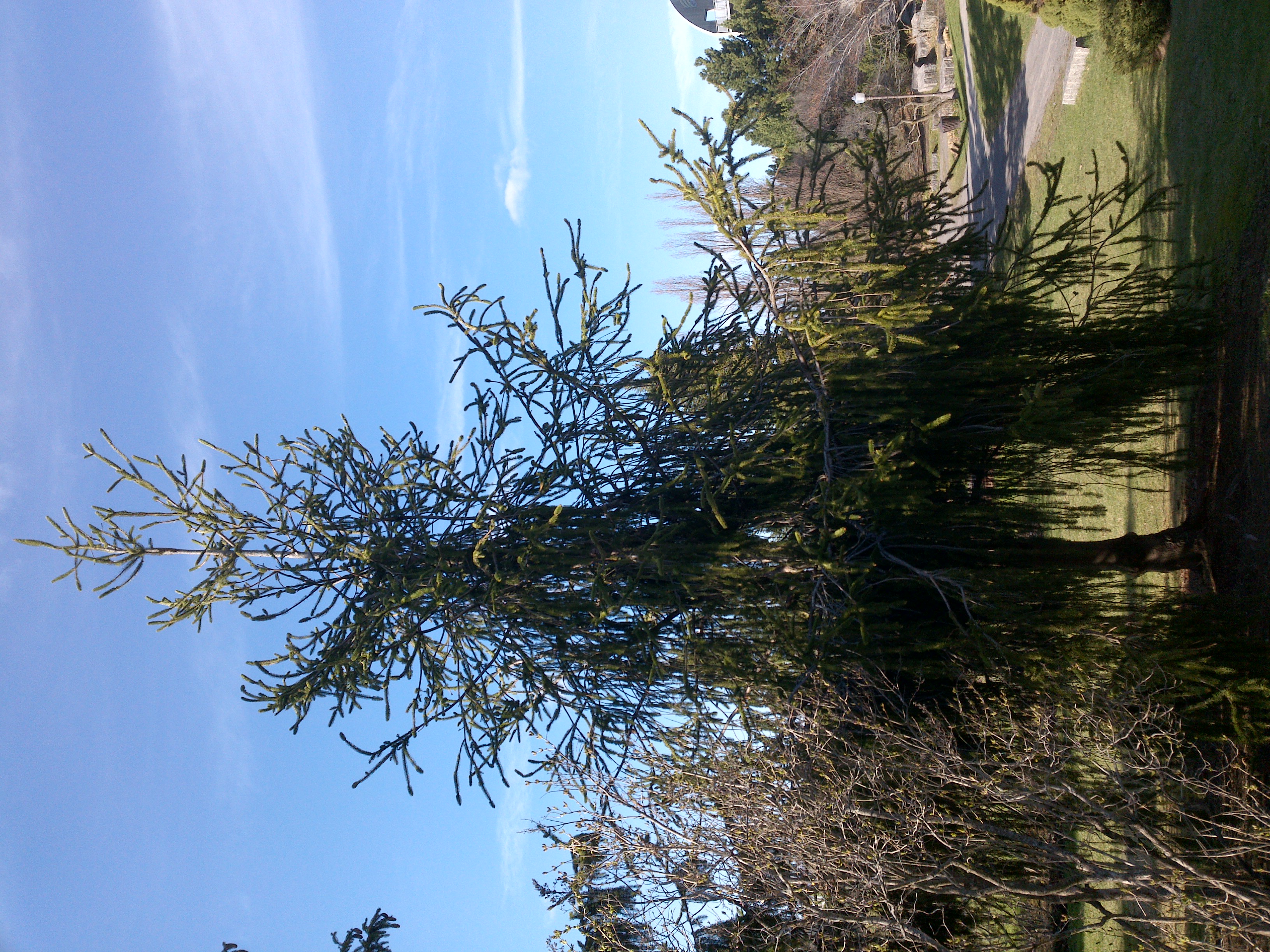
"name": "da0ef07d-210123_163338_Garmin_Oregon7xx_DSC02277.jpg",
"owner": "vKApOnDiwjaSVG3dsP3mDQx4C3g2",
"projects": [
"8Fu4BtpSZNfqPefyaNQh",
"FNC1oLpw7yLLJ00srapF"
],
"r": 0.021505376344086023,
"split": "train",
"split.8Fu4BtpSZNfqPefyaNQh": "valid",
"split.FNC1oLpw7yLLJ00srapF": "train",
"tags": [
"8Fu4BtpSZNfqPefyaNQh:status:approved",
"FNC1oLpw7yLLJ00srapF:status:approved"
],
"updated": {
"_seconds": 1707833529,
"_nanoseconds": 703000000
},
"updatedDate": "Feb 13, 2024",
"updatedTime": "2:12PM",
"updatedTimezone": "+00:00",
"uploader": "vKApOnDiwjaSVG3dsP3mDQx4C3g2",
"width": 2448
}
{
    "boxes": [
        {
            "label": "Tree",
            "x": 1236.8,
            "y": 1636.2666666666667,
            "width": 2422.4,
            "height": 3238.4,
            "keypoints": []
        }
    ],
    "height": 3264,
    "key": "da0ef07d-210123_163338_Garmin_Oregon7xx_DSC02277.jpg",
    "width": 2448
}
Annotation Editor
Smart Polygon