TRY THIS MODEL
Drop image here to test
tree-detection-by-season-type/4 (latest)
The training set is empty.
The validation set is empty.
The testing set is empty.
Classes
Layers
{
"accumulator": null,
"annotation_jobs": [
"8Fu4BtpSZNfqPefyaNQh/qgfW922dieC7zNQJUzhV",
"FNC1oLpw7yLLJ00srapF/cvWua6py6B3jt9D92TgZ"
],
"annotations": {
"trees": {
"original": {
"annotation": "[{\"id\":31,\"image_id\":20,\"category_id\":31,\"segmentation\":[],\"bbox\":[1446.403718228032,597.3333333333325,874.6629484386351,1843.199999999998],\"ignore\":0,\"iscrowd\":0,\"area\":1612178.7465620905}]",
"format": "json",
"source": "coco"
},
"converted": "{\"key\":\"87f8a5ea-210110_130834_Garmin_Oregon7xx_DSC02228.jpg\",\"boxes\":[{\"label\":\"Tree\",\"x\":1883.7351924473496,\"y\":1518.9333333333316,\"width\":874.6629484386351,\"height\":1843.199999999998,\"keypoints\":[]}],\"width\":2448,\"height\":3264}",
"extra": null,
"used": true,
"key": [
"87f8a5ea-210110_130834_Garmin_Oregon7xx_DSC02228.jpg"
]
},
"Tree": {
"original": {
"annotation": "[{\"id\":31,\"image_id\":20,\"category_id\":31,\"segmentation\":[],\"bbox\":[1446.403718228032,597.3333333333325,874.6629484386351,1843.199999999998],\"ignore\":0,\"iscrowd\":0,\"area\":1612178.7465620905}]",
"format": "json",
"source": "coco"
},
"extra": null,
"used": true,
"key": [
"87f8a5ea-210110_130834_Garmin_Oregon7xx_DSC02228.jpg"
],
"by": "vKApOnDiwjaSVG3dsP3mDQx4C3g2",
"converted": "{\"key\":\"87f8a5ea-210110_130834_Garmin_Oregon7xx_DSC02228.jpg\",\"boxes\":[{\"label\":\"Conifère\",\"x\":\"1883.74\",\"y\":\"1518.93\",\"width\":\"874.66\",\"height\":\"1843.20\"}],\"width\":2448,\"height\":3264}",
"lastSet": "1708697430859"
}
},
"camera": "Garmin Oregon 7xx",
"classes": [
"trees",
"Tree"
],
"created": {
"_seconds": 1705415342,
"_nanoseconds": 480000000
},
"datasets": [
"8Fu4BtpSZNfqPefyaNQh",
"FNC1oLpw7yLLJ00srapF"
],
"extension": "jpg",
"hashes": [
"ce960919747bee810b019baa32ad589d"
],
"height": 3264,
"id": "TJLpQPUn4CN6RLMpTP4v",
"label": [
"Unlabeled"
],
"metadata": {
"ExifVersion": "0220",
"GPSLatitude": "46,53,17.35872528804973",
"GPSAltitude": "122.45600471511955",
"GPSAltitudeRef": "0",
"DateTime": "2021:01:10 13:08:34",
"GPSMapDatum": "WGS-84",
"DateTimeOriginal": "2021:01:10 13:08:34",
"FlashpixVersion": "0100",
"WhiteBalance": "Auto white balance",
"GPSLatitudeRef": "N",
"GPSVersionID": "2.2.0.0",
"ExifIFDPointer": "124",
"Flash": "Flash fired, compulsory flash mode",
"FNumber": "2.650000096622392",
"GPSLongitudeRef": "W",
"FocalLengthIn35mmFilm": "31",
"Make": "Garmin",
"GPSLongitude": "71,17,52.41588283883361",
"Orientation": "right-top",
"GPSImgDirection": "359.3555558716384",
"GPSImgDirectionRef": "T",
"GPSInfoIFDPointer": "290",
"DigitalZoomRatio": "0",
"FocalLength": "4.081999780895211",
"Model": "Oregon 7xx"
},
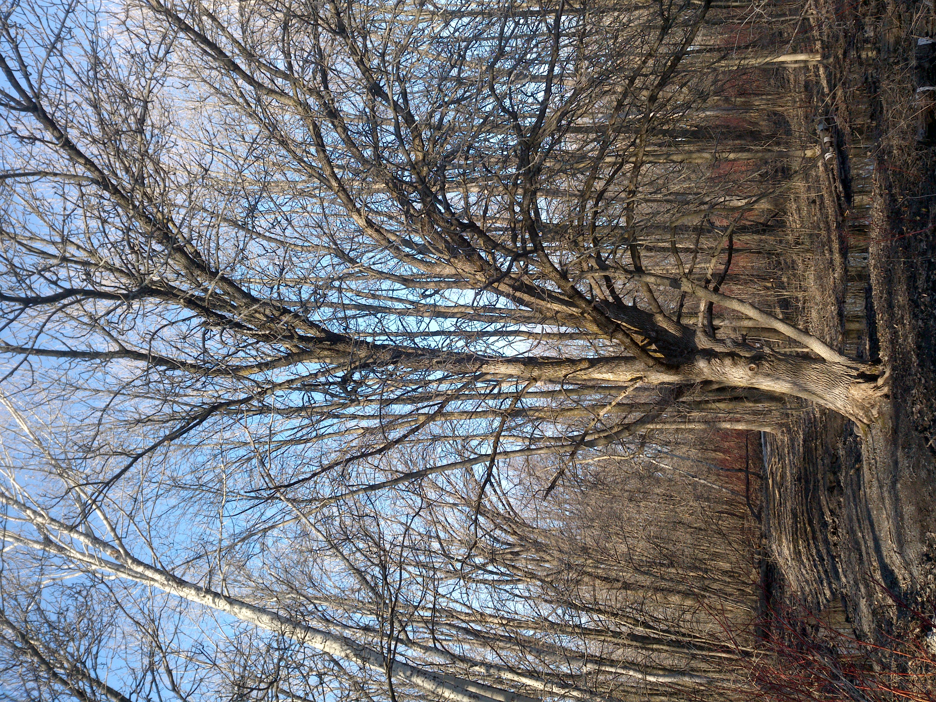
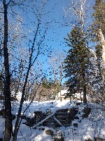
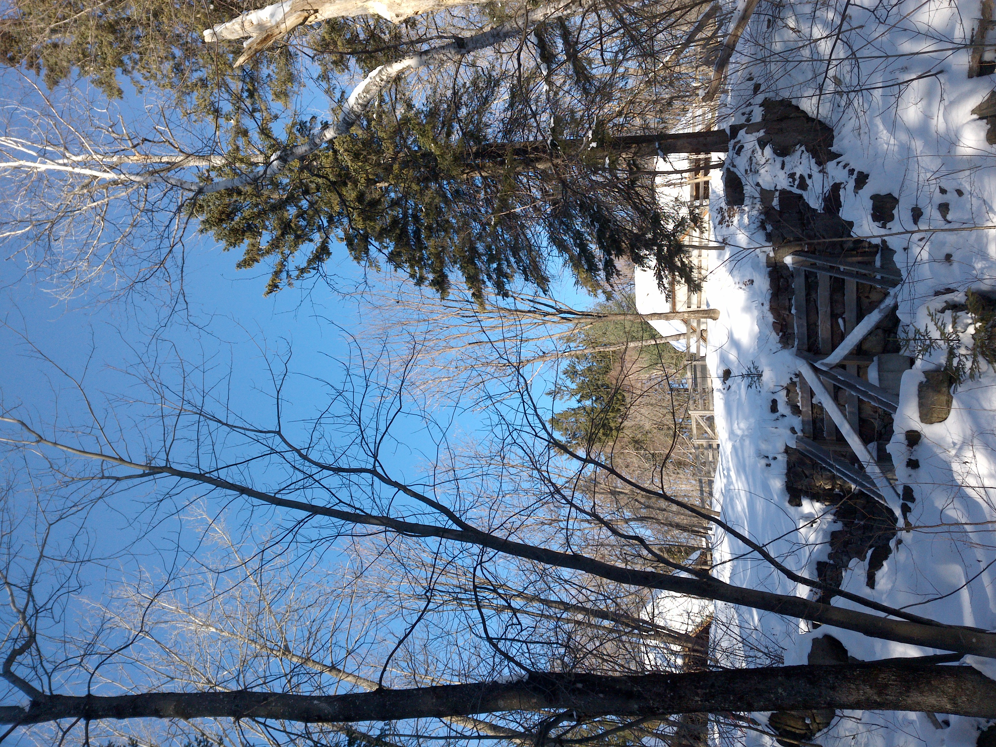
"name": "87f8a5ea-210110_130834_Garmin_Oregon7xx_DSC02228.jpg",
"owner": "vKApOnDiwjaSVG3dsP3mDQx4C3g2",
"projects": [
"8Fu4BtpSZNfqPefyaNQh",
"FNC1oLpw7yLLJ00srapF"
],
"r": 0.10752688172043011,
"split": "train",
"split.8Fu4BtpSZNfqPefyaNQh": "train",
"split.FNC1oLpw7yLLJ00srapF": "train",
"tags": [
"8Fu4BtpSZNfqPefyaNQh:status:approved",
"FNC1oLpw7yLLJ00srapF:status:annotated"
],
"updated": {
"_seconds": 1707833529,
"_nanoseconds": 703000000
},
"updatedDate": "Feb 13, 2024",
"updatedFromRegenerate": "1708697430859",
"updatedTime": "2:12PM",
"updatedTimezone": "+00:00",
"uploader": "vKApOnDiwjaSVG3dsP3mDQx4C3g2",
"width": 2448
}
{
    "boxes": [
        {
            "label": "Conifère",
            "x": "1883.74",
            "y": "1518.93",
            "width": "874.66",
            "height": "1843.20"
        }
    ],
    "height": 3264,
    "key": "87f8a5ea-210110_130834_Garmin_Oregon7xx_DSC02228.jpg",
    "width": 2448
}
Annotation Editor
Smart Polygon