TRY THIS MODEL
Drop image here to test
tree-detection-by-season-type/4 (latest)
The training set is empty.
The validation set is empty.
The testing set is empty.
Classes
Layers
{
"accumulator": null,
"annotation_jobs": [
"FNC1oLpw7yLLJ00srapF/RH8sBLYdCHkGYsL4Gguo"
],
"annotations": {
"Tree": {
"by": "vKApOnDiwjaSVG3dsP3mDQx4C3g2",
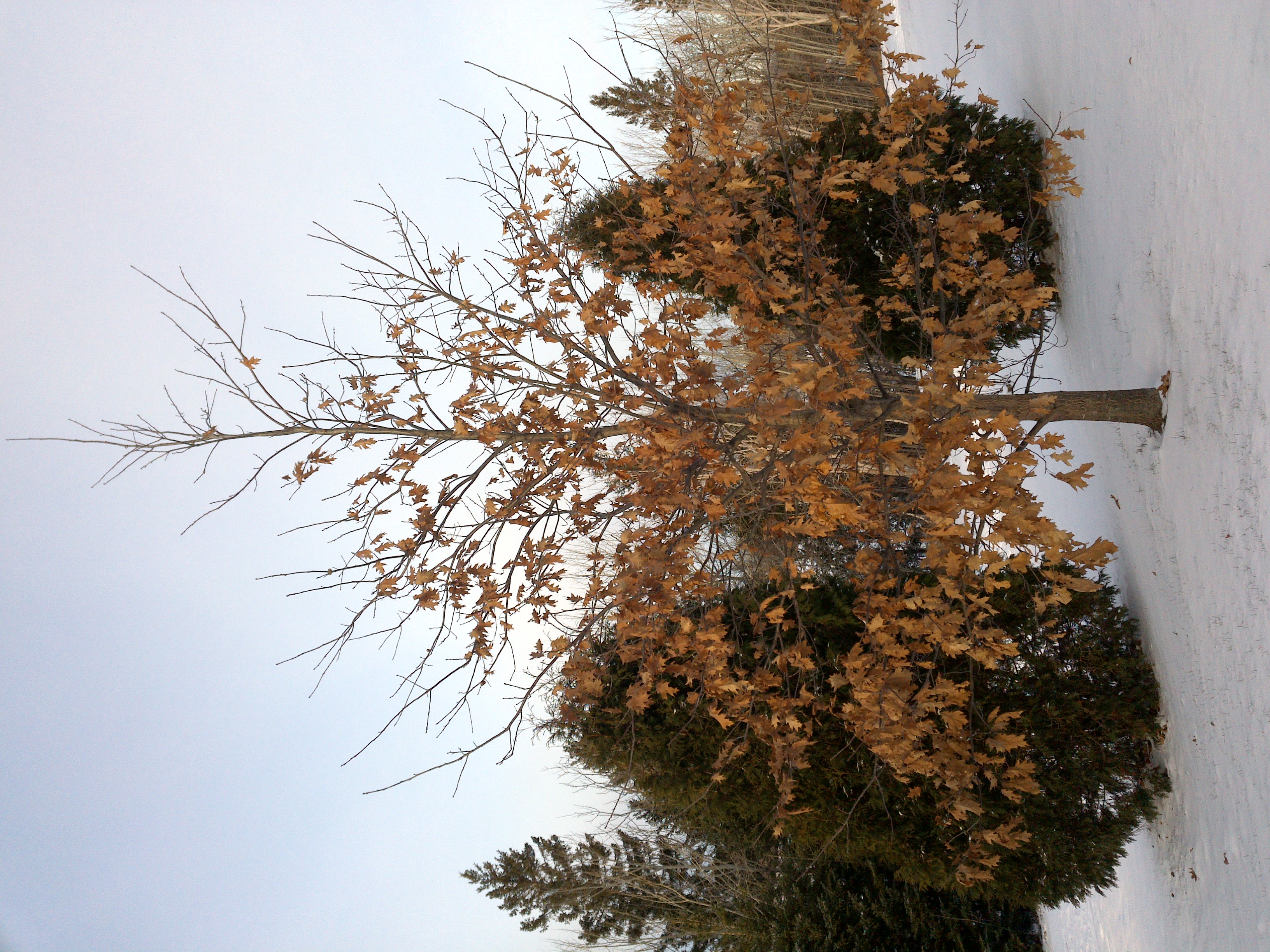
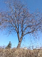
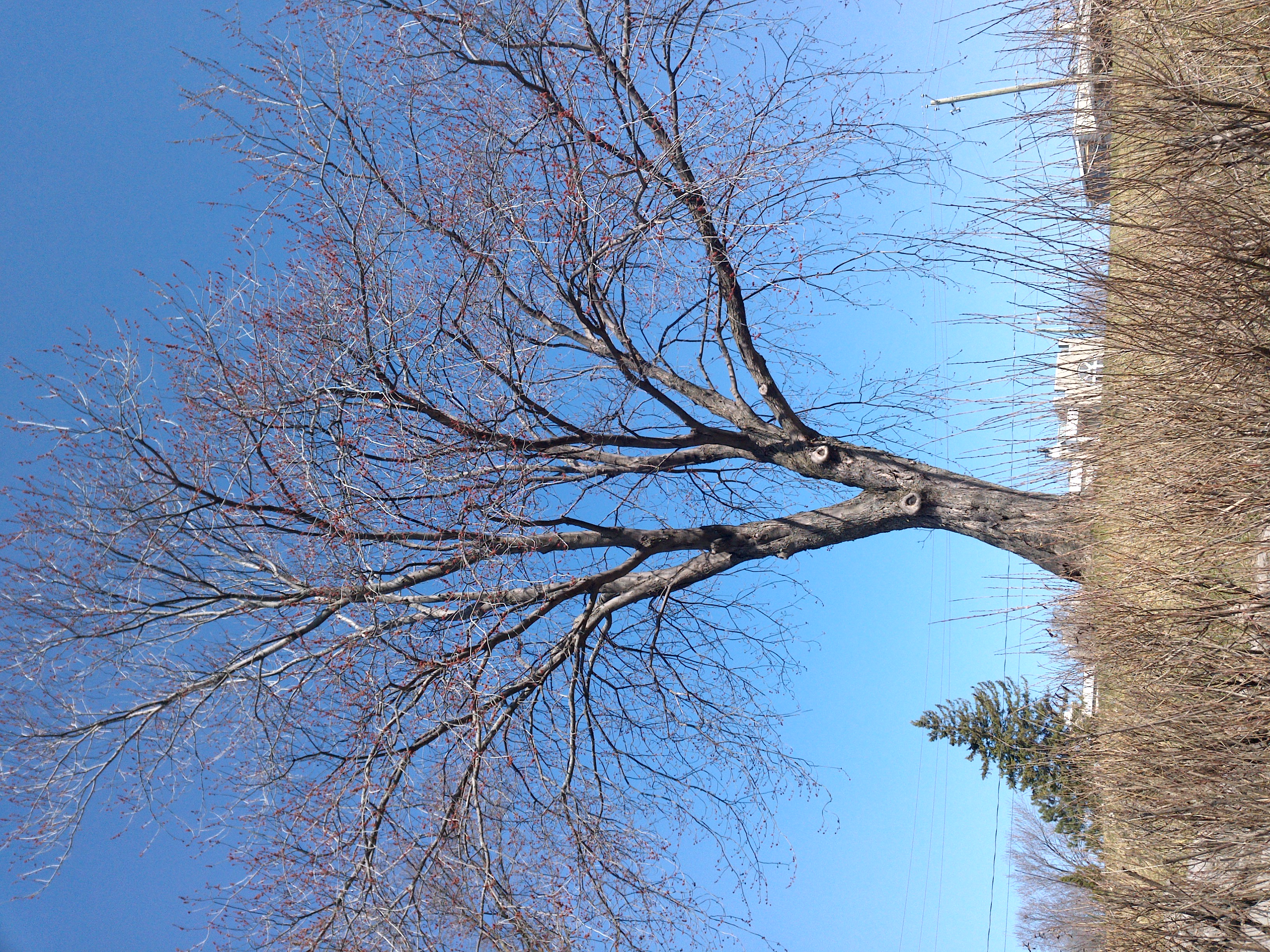
"converted": "{\"key\":\"210415_105217_Garmin_Oregon7xx_DSC02844.jpg\",\"width\":2448,\"height\":3264,\"boxes\":[{\"label\":\"Feuillu hiver\",\"x\":\"1242.92\",\"y\":\"1405.50\",\"width\":\"2385.84\",\"height\":\"2769.00\"}]}",
"lastSet": "1707836253483"
}
},
"batches": [],
"camera": "Garmin Oregon 7xx",
"created": {
"_seconds": 1707835682,
"_nanoseconds": 624000000
},
"datasets": [
"FNC1oLpw7yLLJ00srapF"
],
"extension": "jpg",
"hashes": [
"0a3a424ec08d1885c75c378be68b5dc4"
],
"height": 3264,
"id": "cYcJKGJ0SExD6v8olWdV",
"label": [
"Unlabeled"
],
"metadata": {
"ExifVersion": "0220",
"GPSLatitude": "46,49,27.286648007158647",
"GPSAltitude": "5.579753878157244",
"GPSAltitudeRef": "0",
"DateTime": "2021:04:15 10:52:17",
"GPSMapDatum": "WGS-84",
"DateTimeOriginal": "2021:04:15 10:52:17",
"FlashpixVersion": "0100",
"WhiteBalance": "Auto white balance",
"GPSLatitudeRef": "N",
"GPSVersionID": "2.2.0.0",
"ExifIFDPointer": "124",
"Flash": "Flash did not fire",
"FNumber": "2.650000096622392",
"GPSLongitudeRef": "W",
"FocalLengthIn35mmFilm": "31",
"Make": "Garmin",
"GPSLongitude": "71,14,12.196195757503252",
"Orientation": "right-top",
"GPSImgDirection": "327.06829390283707",
"GPSImgDirectionRef": "T",
"GPSInfoIFDPointer": "290",
"DigitalZoomRatio": "0",
"FocalLength": "4.081999780895211",
"Model": "Oregon 7xx"
},
"name": "210415_105217_Garmin_Oregon7xx_DSC02844.jpg",
"owner": "vKApOnDiwjaSVG3dsP3mDQx4C3g2",
"projects": [
"FNC1oLpw7yLLJ00srapF"
],
"r": 0.12954545454545455,
"split": "train",
"split.FNC1oLpw7yLLJ00srapF": "train",
"tags": [
"FNC1oLpw7yLLJ00srapF:status:annotated"
],
"updated": {
"_seconds": 1707835682,
"_nanoseconds": 624000000
},
"updatedDate": "Feb 13, 2024",
"updatedFromRegenerate": "1707836253483",
"updatedTime": "2:48PM",
"updatedTimezone": "+00:00",
"uploader": "vKApOnDiwjaSVG3dsP3mDQx4C3g2",
"width": 2448
}
{
    "boxes": [
        {
            "label": "Feuillu hiver",
            "x": "1242.92",
            "y": "1405.50",
            "width": "2385.84",
            "height": "2769.00"
        }
    ],
    "height": 3264,
    "key": "210415_105217_Garmin_Oregon7xx_DSC02844.jpg",
    "width": 2448
}
Annotation Editor
Smart Polygon