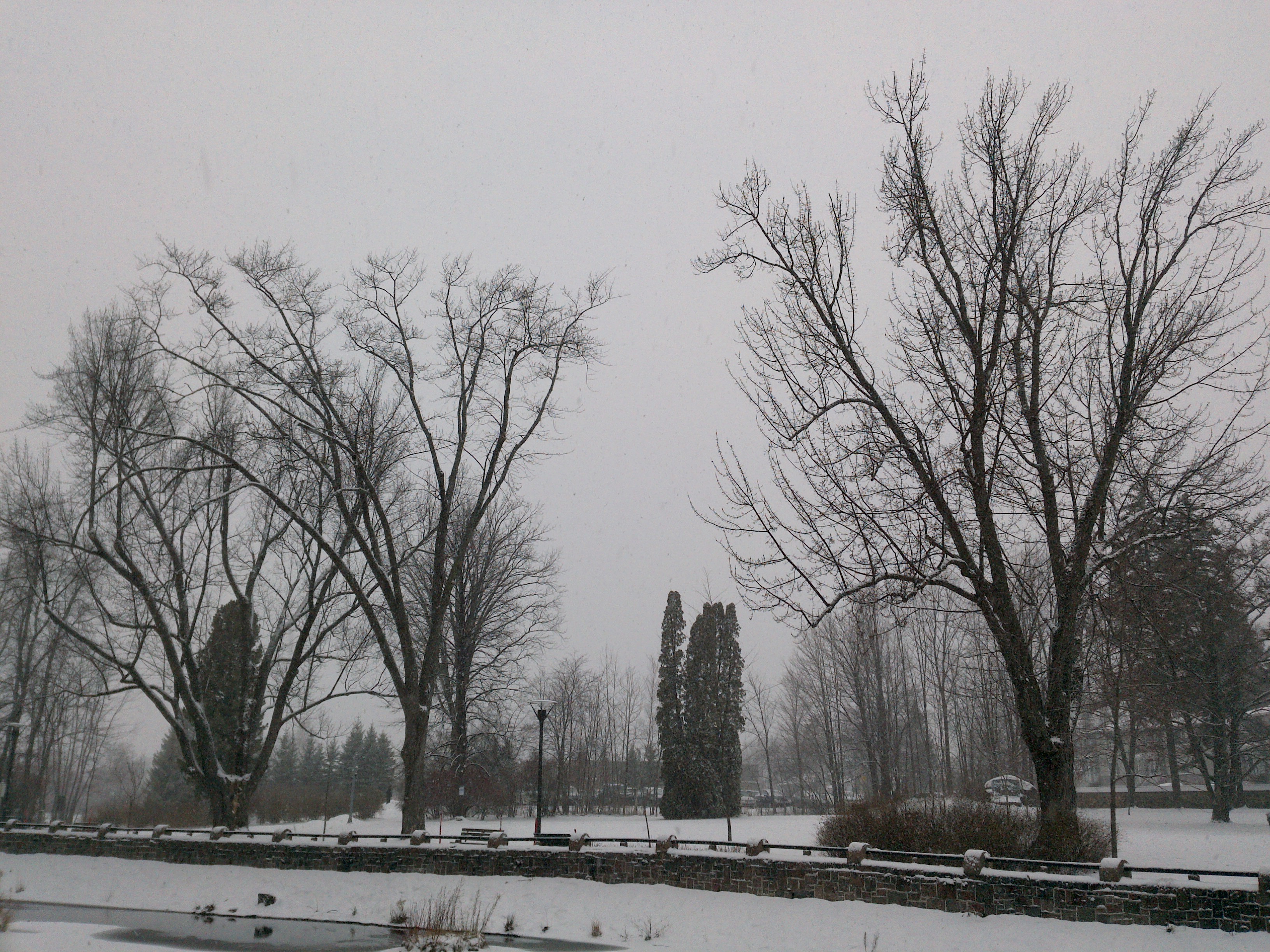
TRY THIS MODEL
Drop image here to test
tree-detection-by-season-type/4 (latest)
The training set is empty.
The validation set is empty.
The testing set is empty.
Classes
Layers
                            {
    "accumulator": null,
    "annotation_jobs": [
        "8Fu4BtpSZNfqPefyaNQh/09Ht0kqXq65p3LHkENUX",
        "dTeLVe9vEcJB0QKJjjsG/ArDgqhjaHL3Zw0MEL0ao",
        "FNC1oLpw7yLLJ00srapF/BjiKwCgMdaN3VqYymZFQ"
    ],
    "annotations": {
        "trees": {
            "original": {
                "annotation": "[{\"id\":96,\"image_id\":60,\"category_id\":31,\"segmentation\":[],\"bbox\":[44.9832603829062,269.68786127167624,1892.7739650506203,1802.9132947976866],\"ignore\":0,\"iscrowd\":0,\"area\":3412507.345636695}]",
                "format": "json",
                "source": "coco"
            },
            "converted": "{\"key\":\"c3e786ed-200701_165256_Garmin_Oregon7xx_DSC00275.jpg\",\"boxes\":[{\"label\":\"Tree\",\"x\":991.3702429082164,\"y\":1171.1445086705196,\"width\":1892.7739650506203,\"height\":1802.9132947976866,\"keypoints\":[]}],\"width\":1944,\"height\":2592}",
            "extra": null,
            "used": true,
            "key": [
                "c3e786ed-200701_165256_Garmin_Oregon7xx_DSC00275.jpg"
            ]
        },
        "trees-qDft": {
            "original": {
                "annotation": "[{\"id\":96,\"image_id\":60,\"category_id\":31,\"segmentation\":[],\"bbox\":[44.9832603829062,269.68786127167624,1892.7739650506203,1802.9132947976866],\"ignore\":0,\"iscrowd\":0,\"area\":3412507.345636695}]",
                "format": "json",
                "source": "coco"
            },
            "extra": null,
            "used": true,
            "key": [
                "c3e786ed-200701_165256_Garmin_Oregon7xx_DSC00275.jpg"
            ],
            "by": "vKApOnDiwjaSVG3dsP3mDQx4C3g2",
            "converted": "{\"key\":\"c3e786ed-200701_165256_Garmin_Oregon7xx_DSC00275.jpg\",\"boxes\":[{\"label\":\"Feuillu\",\"x\":\"990.08\",\"y\":\"1173.55\",\"width\":\"1892.77\",\"height\":\"1802.91\"}],\"width\":1944,\"height\":2592}",
            "lastSet": "1705423304108"
        },
        "Tree": {
            "original": {
                "annotation": "[{\"id\":96,\"image_id\":60,\"category_id\":31,\"segmentation\":[],\"bbox\":[44.9832603829062,269.68786127167624,1892.7739650506203,1802.9132947976866],\"ignore\":0,\"iscrowd\":0,\"area\":3412507.345636695}]",
                "format": "json",
                "source": "coco"
            },
            "converted": "{\"key\":\"c3e786ed-200701_165256_Garmin_Oregon7xx_DSC00275.jpg\",\"boxes\":[{\"label\":\"Tree\",\"x\":991.3702429082164,\"y\":1171.1445086705196,\"width\":1892.7739650506203,\"height\":1802.9132947976866,\"keypoints\":[]}],\"width\":1944,\"height\":2592}",
            "extra": null,
            "used": true,
            "key": [
                "c3e786ed-200701_165256_Garmin_Oregon7xx_DSC00275.jpg"
            ]
        }
    },
    "camera": "Garmin Oregon 7xx",
    "classes": [
        "trees",
        "trees-qDft",
        "Tree"
    ],
    "created": {
        "_seconds": 1705367198,
        "_nanoseconds": 162000000
    },
    "datasets": [
        "8Fu4BtpSZNfqPefyaNQh",
        "dTeLVe9vEcJB0QKJjjsG",
        "FNC1oLpw7yLLJ00srapF"
    ],
    "extension": "jpg",
    "hashes": [
        "7e968c46ba9691d098e682bf7c7170b8"
    ],
    "height": 2592,
    "id": "gtb6WkLm21N35O2R20oo",
    "label": [
        "Unlabeled"
    ],
    "metadata": {
        "ExifVersion": "0220",
        "GPSLatitude": "46,48,26.91340875962868",
        "GPSAltitude": "81.75552460264228",
        "GPSAltitudeRef": "0",
        "DateTime": "2020:07:01 16:52:56",
        "GPSMapDatum": "WGS-84",
        "DateTimeOriginal": "2020:07:01 16:52:56",
        "FlashpixVersion": "0100",
        "WhiteBalance": "Auto white balance",
        "GPSLatitudeRef": "N",
        "GPSVersionID": "2.2.0.0",
        "ExifIFDPointer": "124",
        "Flash": "Flash did not fire, auto mode",
        "FNumber": "2.650000096622392",
        "GPSLongitudeRef": "W",
        "FocalLengthIn35mmFilm": "31",
        "Make": "Garmin",
        "GPSLongitude": "71,15,31.034332195553304",
        "Orientation": "right-top",
        "GPSImgDirection": "33.48689310684014",
        "GPSImgDirectionRef": "T",
        "GPSInfoIFDPointer": "290",
        "DigitalZoomRatio": "0",
        "FocalLength": "4.081999780895211",
        "Model": "Oregon 7xx"
    },
    "name": "c3e786ed-200701_165256_Garmin_Oregon7xx_DSC00275.jpg",
    "owner": "vKApOnDiwjaSVG3dsP3mDQx4C3g2",
    "projects": [
        "8Fu4BtpSZNfqPefyaNQh",
        "dTeLVe9vEcJB0QKJjjsG",
        "FNC1oLpw7yLLJ00srapF"
    ],
    "r": 0.04,
    "split": "train",
    "split.8Fu4BtpSZNfqPefyaNQh": "train",
    "split.FNC1oLpw7yLLJ00srapF": "train",
    "split.dTeLVe9vEcJB0QKJjjsG": "train",
    "tags": [
        "8Fu4BtpSZNfqPefyaNQh:status:approved",
        "dTeLVe9vEcJB0QKJjjsG:status:annotated",
        "FNC1oLpw7yLLJ00srapF:status:approved"
    ],
    "updated": {
        "_seconds": 1707833311,
        "_nanoseconds": 104000000
    },
    "updatedDate": "Feb 13, 2024",
    "updatedFromRegenerate": "1705423304108",
    "updatedTime": "2:08PM",
    "updatedTimezone": "+00:00",
    "uploader": "vKApOnDiwjaSVG3dsP3mDQx4C3g2",
    "width": 1944
}
{
"boxes": [
{
"label": "Tree",
"x": 991.3702429082164,
"y": 1171.1445086705196,
"width": 1892.7739650506203,
"height": 1802.9132947976866,
"keypoints": []
}
],
"height": 2592,
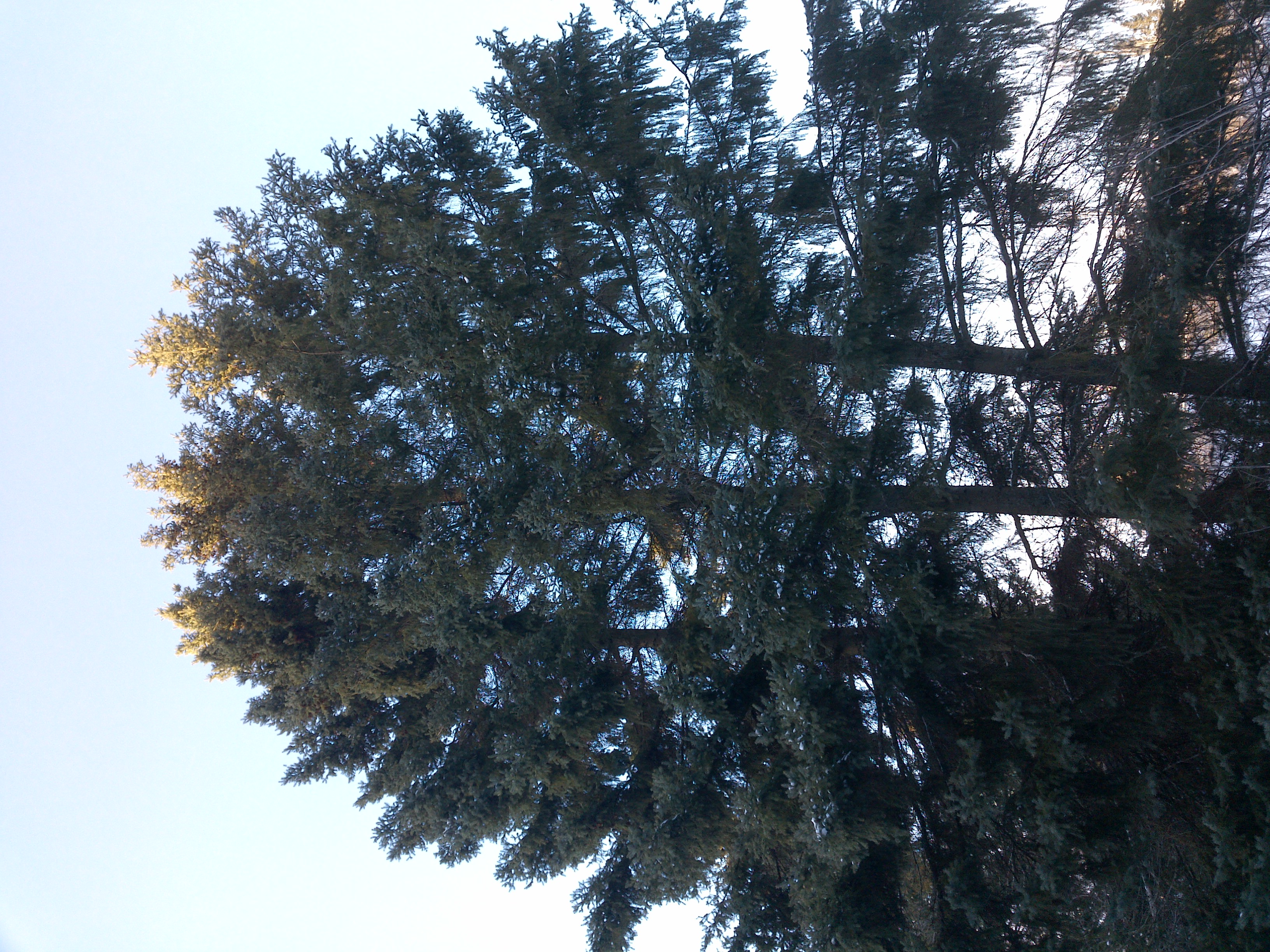
"key": "c3e786ed-200701_165256_Garmin_Oregon7xx_DSC00275.jpg",
"width": 1944
}
Annotation Editor
Smart Polygon