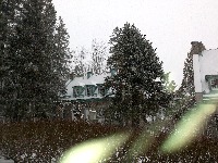
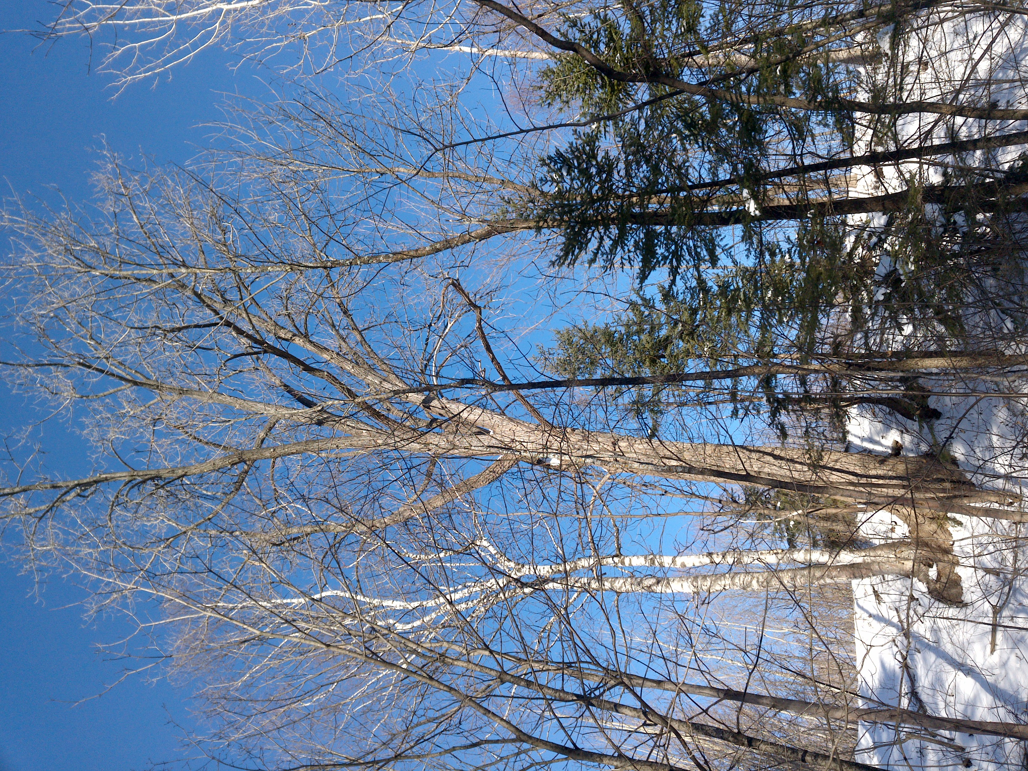
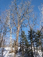
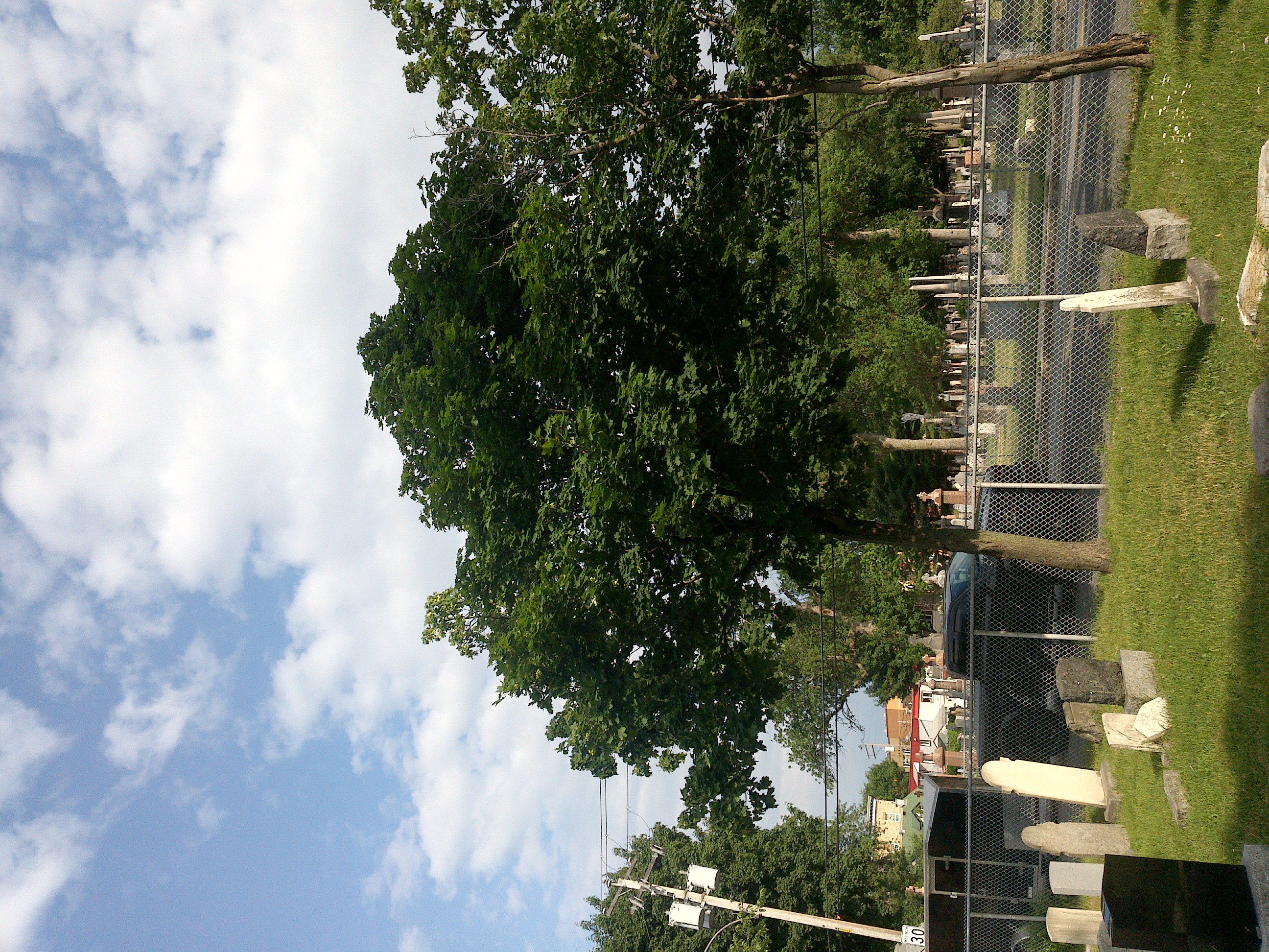
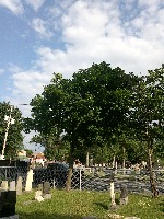
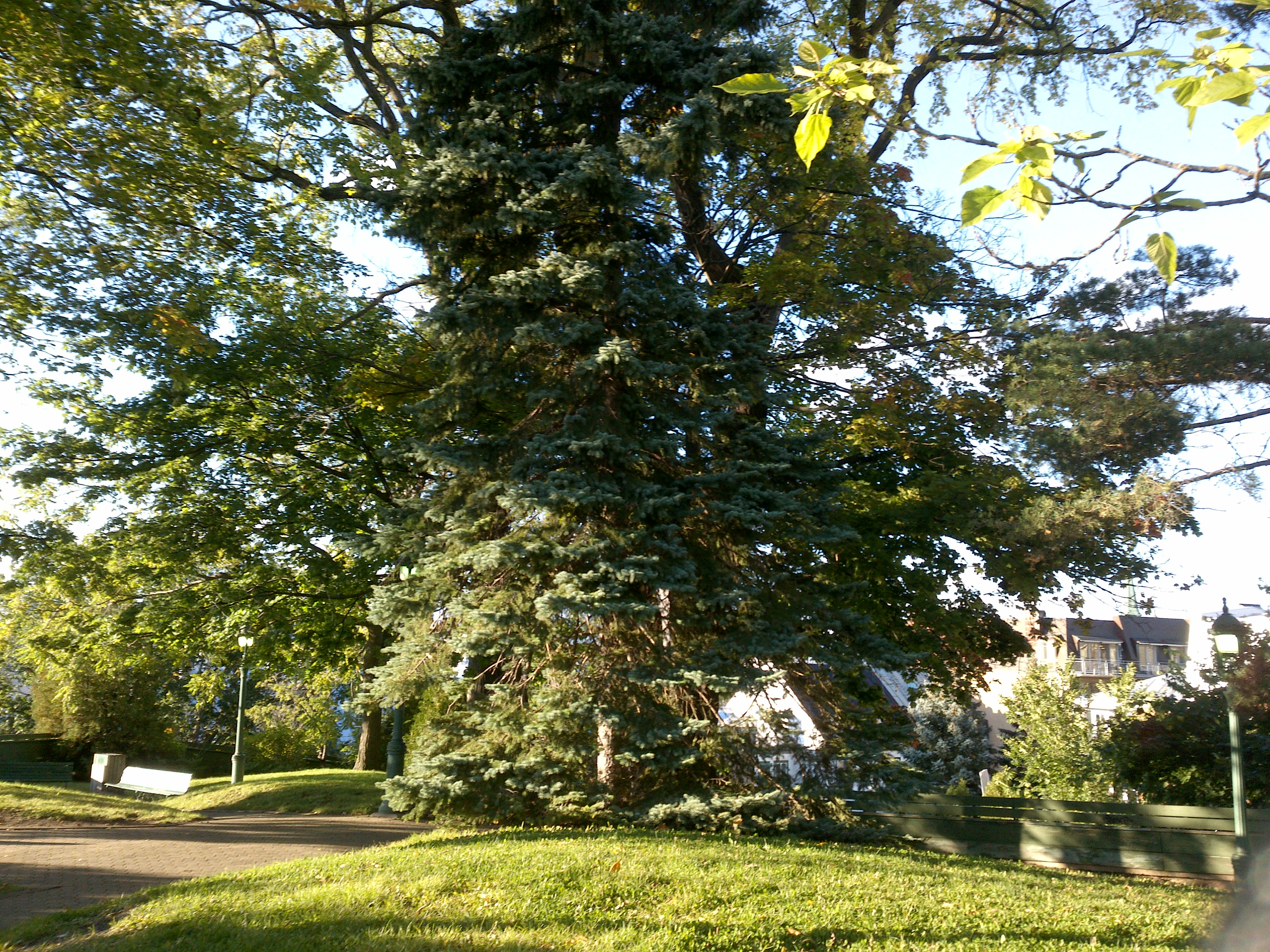
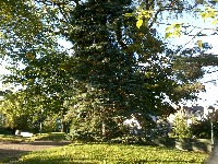
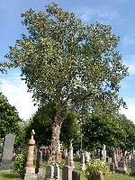
TRY THIS MODEL
Drop image here to test
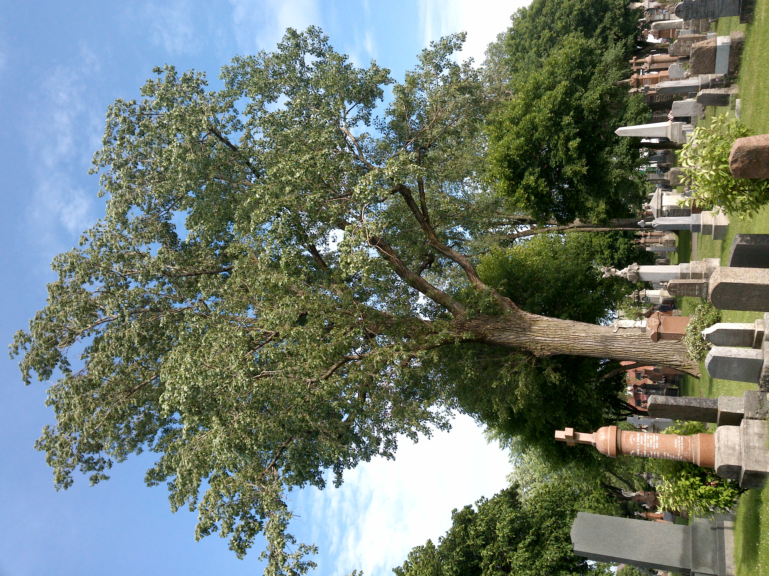
tree-detection-by-season-type/4 (latest)
The training set is empty.
The validation set is empty.
The testing set is empty.
Classes
Layers
                            {
    "accumulator": null,
    "annotation_jobs": [
        "8Fu4BtpSZNfqPefyaNQh/jWRNLH3O7gGpfEWgA3Qx",
        "dTeLVe9vEcJB0QKJjjsG/TuQswcsyxQCCD2IzkL1R",
        "FNC1oLpw7yLLJ00srapF/PlT9prHRuB8Iv4CdDw7J"
    ],
    "annotations": {
        "trees": {
            "original": {
                "annotation": "[{\"id\":35,\"image_id\":17,\"category_id\":31,\"segmentation\":[],\"bbox\":[31.03448076450408,43.43726235741444,2320.8066041145576,2935.117870722433],\"ignore\":0,\"iscrowd\":0,\"area\":6811840.938227281}]",
                "format": "json",
                "source": "coco"
            },
            "converted": "{\"key\":\"cd631163-210629_172057_Garmin_Oregon7xx_DSC00264.jpg\",\"boxes\":[{\"label\":\"Tree\",\"x\":1191.4377828217828,\"y\":1510.996197718631,\"width\":2320.8066041145576,\"height\":2935.117870722433,\"keypoints\":[]}],\"width\":2448,\"height\":3264}",
            "extra": null,
            "used": true,
            "key": [
                "cd631163-210629_172057_Garmin_Oregon7xx_DSC00264.jpg"
            ]
        },
        "trees-qDft": {
            "original": {
                "annotation": "[{\"id\":35,\"image_id\":17,\"category_id\":31,\"segmentation\":[],\"bbox\":[31.03448076450408,43.43726235741444,2320.8066041145576,2935.117870722433],\"ignore\":0,\"iscrowd\":0,\"area\":6811840.938227281}]",
                "format": "json",
                "source": "coco"
            },
            "extra": null,
            "used": true,
            "key": [
                "cd631163-210629_172057_Garmin_Oregon7xx_DSC00264.jpg"
            ],
            "by": "vKApOnDiwjaSVG3dsP3mDQx4C3g2",
            "converted": "{\"key\":\"cd631163-210629_172057_Garmin_Oregon7xx_DSC00264.jpg\",\"boxes\":[{\"label\":\"Feuillu\",\"x\":\"1101.31\",\"y\":\"1521.49\",\"width\":\"2140.55\",\"height\":\"2914.12\"},{\"label\":\"Feuillu\",\"x\":\"1861.00\",\"y\":\"2354.93\",\"width\":\"708.01\",\"height\":\"649.86\"}],\"width\":2448,\"height\":3264}",
            "lastSet": "1705422610558"
        },
        "Tree": {
            "original": {
                "annotation": "[{\"id\":35,\"image_id\":17,\"category_id\":31,\"segmentation\":[],\"bbox\":[31.03448076450408,43.43726235741444,2320.8066041145576,2935.117870722433],\"ignore\":0,\"iscrowd\":0,\"area\":6811840.938227281}]",
                "format": "json",
                "source": "coco"
            },
            "converted": "{\"key\":\"cd631163-210629_172057_Garmin_Oregon7xx_DSC00264.jpg\",\"boxes\":[{\"label\":\"Tree\",\"x\":1191.4377828217828,\"y\":1510.996197718631,\"width\":2320.8066041145576,\"height\":2935.117870722433,\"keypoints\":[]}],\"width\":2448,\"height\":3264}",
            "extra": null,
            "used": true,
            "key": [
                "cd631163-210629_172057_Garmin_Oregon7xx_DSC00264.jpg"
            ]
        }
    },
    "camera": "Garmin Oregon 7xx",
    "classes": [
        "trees",
        "trees-qDft",
        "Tree"
    ],
    "created": {
        "_seconds": 1705415189,
        "_nanoseconds": 766000000
    },
    "datasets": [
        "8Fu4BtpSZNfqPefyaNQh",
        "dTeLVe9vEcJB0QKJjjsG",
        "FNC1oLpw7yLLJ00srapF"
    ],
    "extension": "jpg",
    "hashes": [
        "673a2b39b27cfb1c350d4cfedc9386de"
    ],
    "height": 3264,
    "id": "75ao7zoAFetCc8Ko7n8v",
    "label": [
        "Unlabeled"
    ],
    "metadata": {
        "ExifVersion": "0220",
        "GPSLatitude": "46,48,26.304178409218967",
        "GPSAltitude": "21.292638978013763",
        "GPSAltitudeRef": "0",
        "DateTime": "2021:06:29 17:20:57",
        "GPSMapDatum": "WGS-84",
        "DateTimeOriginal": "2021:06:29 17:20:57",
        "FlashpixVersion": "0100",
        "WhiteBalance": "Auto white balance",
        "GPSLatitudeRef": "N",
        "GPSVersionID": "2.2.0.0",
        "ExifIFDPointer": "124",
        "Flash": "Flash did not fire, auto mode",
        "FNumber": "2.650000096622392",
        "GPSLongitudeRef": "W",
        "FocalLengthIn35mmFilm": "31",
        "Make": "Garmin",
        "GPSLongitude": "71,15,42.56987642212718",
        "Orientation": "right-top",
        "GPSImgDirection": "152.14134800457043",
        "GPSImgDirectionRef": "T",
        "GPSInfoIFDPointer": "290",
        "DigitalZoomRatio": "0",
        "FocalLength": "4.081999780895211",
        "Model": "Oregon 7xx"
    },
    "name": "cd631163-210629_172057_Garmin_Oregon7xx_DSC00264.jpg",
    "owner": "vKApOnDiwjaSVG3dsP3mDQx4C3g2",
    "projects": [
        "8Fu4BtpSZNfqPefyaNQh",
        "dTeLVe9vEcJB0QKJjjsG",
        "FNC1oLpw7yLLJ00srapF"
    ],
    "r": 0.011904761904761904,
    "split": "train",
    "split.8Fu4BtpSZNfqPefyaNQh": "valid",
    "split.FNC1oLpw7yLLJ00srapF": "train",
    "split.dTeLVe9vEcJB0QKJjjsG": "train",
    "tags": [
        "8Fu4BtpSZNfqPefyaNQh:status:approved",
        "dTeLVe9vEcJB0QKJjjsG:status:annotated",
        "FNC1oLpw7yLLJ00srapF:status:approved"
    ],
    "updated": {
        "_seconds": 1707833484,
        "_nanoseconds": 589000000
    },
    "updatedDate": "Feb 13, 2024",
    "updatedFromRegenerate": "1705422610558",
    "updatedTime": "2:11PM",
    "updatedTimezone": "+00:00",
    "uploader": "vKApOnDiwjaSVG3dsP3mDQx4C3g2",
    "width": 2448
}
{
    "boxes": [
        {
            "label": "Tree",
            "x": 1191.4377828217828,
            "y": 1510.996197718631,
            "width": 2320.8066041145576,
            "height": 2935.117870722433,
            "keypoints": []
        }
    ],
    "height": 3264,
    "key": "cd631163-210629_172057_Garmin_Oregon7xx_DSC00264.jpg",
    "width": 2448
}
Annotation Editor
Smart Polygon