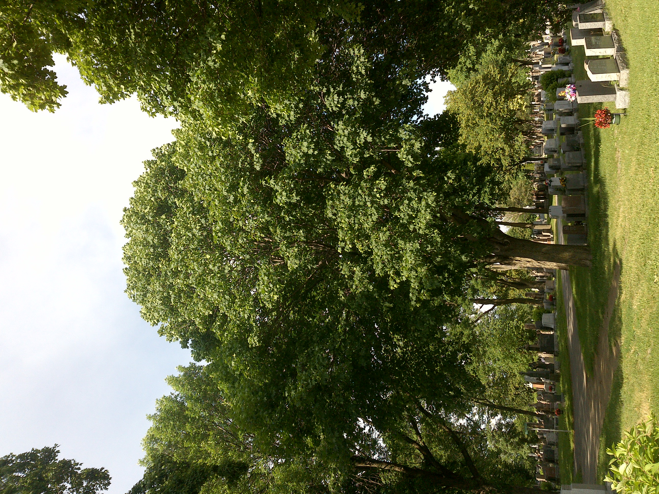
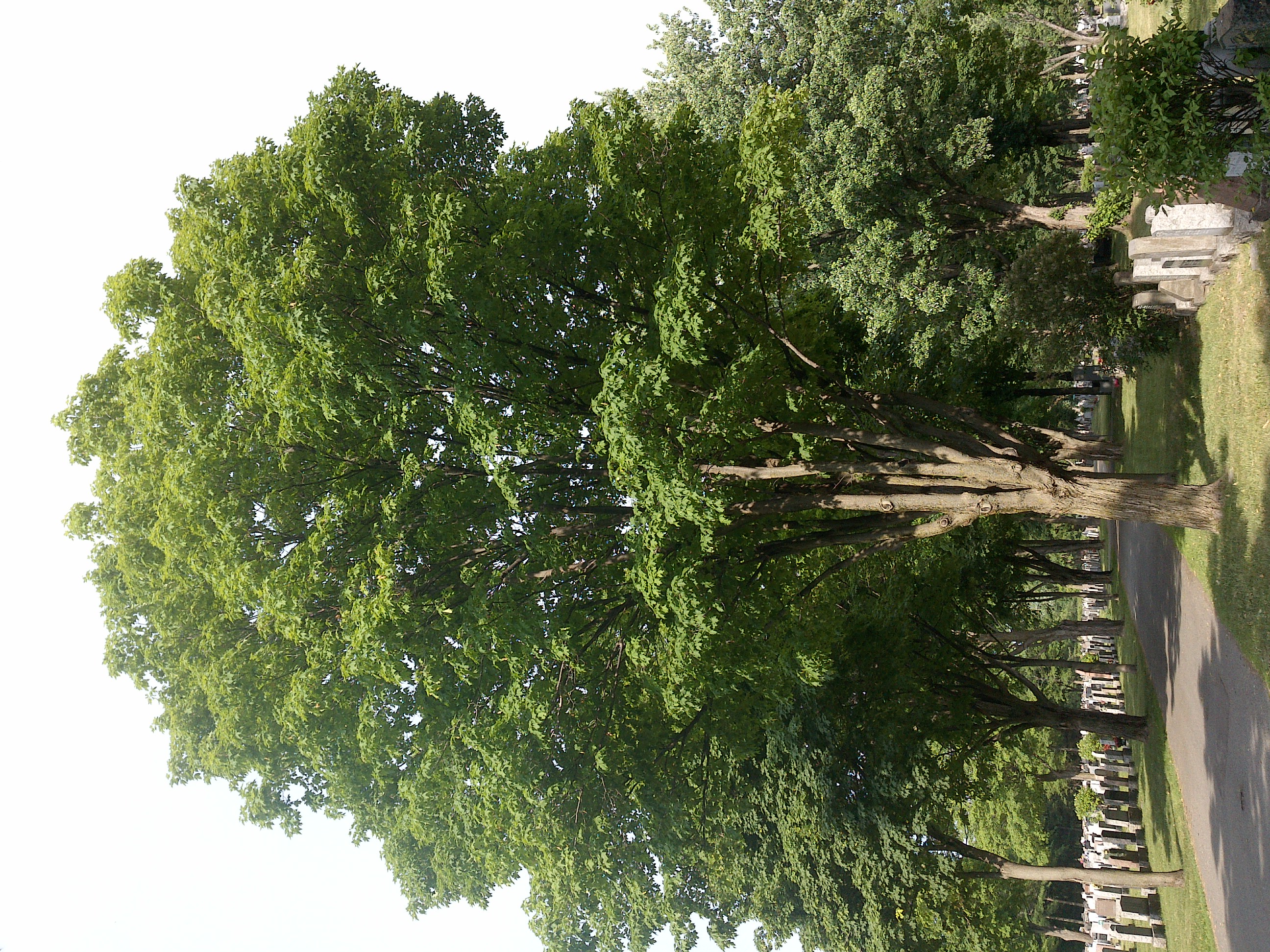
TRY THIS MODEL
Drop image here to test
tree-detection-by-season-type/4 (latest)
The training set is empty.
The validation set is empty.
The testing set is empty.
Classes
Layers
                            {
    "accumulator": null,
    "annotation_jobs": [
        "8Fu4BtpSZNfqPefyaNQh/09Ht0kqXq65p3LHkENUX",
        "dTeLVe9vEcJB0QKJjjsG/ArDgqhjaHL3Zw0MEL0ao",
        "FNC1oLpw7yLLJ00srapF/BjiKwCgMdaN3VqYymZFQ"
    ],
    "annotations": {
        "trees": {
            "original": {
                "annotation": "[{\"id\":103,\"image_id\":66,\"category_id\":31,\"segmentation\":[],\"bbox\":[178.42302878598247,405.5068836045056,1667.4443053817272,2173.5168961201502],\"ignore\":0,\"iscrowd\":0,\"area\":3624218.3710865118}]",
                "format": "json",
                "source": "coco"
            },
            "converted": "{\"key\":\"0981a533-200701_170017_Garmin_Oregon7xx_DSC00283.jpg\",\"boxes\":[{\"label\":\"Tree\",\"x\":1012.1451814768461,\"y\":1492.2653316645808,\"width\":1667.4443053817272,\"height\":2173.5168961201502,\"keypoints\":[]}],\"width\":1944,\"height\":2592}",
            "extra": null,
            "used": true,
            "key": [
                "0981a533-200701_170017_Garmin_Oregon7xx_DSC00283.jpg"
            ]
        },
        "trees-qDft": {
            "original": {
                "annotation": "[{\"id\":103,\"image_id\":66,\"category_id\":31,\"segmentation\":[],\"bbox\":[178.42302878598247,405.5068836045056,1667.4443053817272,2173.5168961201502],\"ignore\":0,\"iscrowd\":0,\"area\":3624218.3710865118}]",
                "format": "json",
                "source": "coco"
            },
            "extra": null,
            "used": true,
            "key": [
                "0981a533-200701_170017_Garmin_Oregon7xx_DSC00283.jpg"
            ],
            "by": "vKApOnDiwjaSVG3dsP3mDQx4C3g2",
            "converted": "{\"key\":\"0981a533-200701_170017_Garmin_Oregon7xx_DSC00283.jpg\",\"boxes\":[{\"label\":\"Feuillu\",\"x\":\"1010.84\",\"y\":\"1492.27\",\"width\":\"1667.44\",\"height\":\"2173.52\"}],\"width\":1944,\"height\":2592}",
            "lastSet": "1705422261170"
        },
        "Tree": {
            "original": {
                "annotation": "[{\"id\":103,\"image_id\":66,\"category_id\":31,\"segmentation\":[],\"bbox\":[178.42302878598247,405.5068836045056,1667.4443053817272,2173.5168961201502],\"ignore\":0,\"iscrowd\":0,\"area\":3624218.3710865118}]",
                "format": "json",
                "source": "coco"
            },
            "converted": "{\"key\":\"0981a533-200701_170017_Garmin_Oregon7xx_DSC00283.jpg\",\"boxes\":[{\"label\":\"Tree\",\"x\":1012.1451814768461,\"y\":1492.2653316645808,\"width\":1667.4443053817272,\"height\":2173.5168961201502,\"keypoints\":[]}],\"width\":1944,\"height\":2592}",
            "extra": null,
            "used": true,
            "key": [
                "0981a533-200701_170017_Garmin_Oregon7xx_DSC00283.jpg"
            ]
        }
    },
    "camera": "Garmin Oregon 7xx",
    "classes": [
        "trees",
        "trees-qDft",
        "Tree"
    ],
    "created": {
        "_seconds": 1705367174,
        "_nanoseconds": 653000000
    },
    "datasets": [
        "8Fu4BtpSZNfqPefyaNQh",
        "dTeLVe9vEcJB0QKJjjsG",
        "FNC1oLpw7yLLJ00srapF"
    ],
    "extension": "jpg",
    "hashes": [
        "0cf132628a3beb378bdc4373f9f57984"
    ],
    "height": 2592,
    "id": "DUDk3AwiyvwhL2o9c3e6",
    "label": [
        "Unlabeled"
    ],
    "metadata": {
        "ExifVersion": "0220",
        "GPSLatitude": "46,48,27.9055578678614",
        "GPSAltitude": "81.82084200555136",
        "GPSAltitudeRef": "0",
        "DateTime": "2020:07:01 17:00:17",
        "GPSMapDatum": "WGS-84",
        "DateTimeOriginal": "2020:07:01 17:00:17",
        "FlashpixVersion": "0100",
        "WhiteBalance": "Auto white balance",
        "GPSLatitudeRef": "N",
        "GPSVersionID": "2.2.0.0",
        "ExifIFDPointer": "124",
        "Flash": "Flash did not fire, auto mode",
        "FNumber": "2.650000096622392",
        "GPSLongitudeRef": "W",
        "FocalLengthIn35mmFilm": "31",
        "Make": "Garmin",
        "GPSLongitude": "71,15,22.93057386218854",
        "Orientation": "right-top",
        "GPSImgDirection": "55.453628909236244",
        "GPSImgDirectionRef": "T",
        "GPSInfoIFDPointer": "290",
        "DigitalZoomRatio": "0",
        "FocalLength": "4.081999780895211",
        "Model": "Oregon 7xx"
    },
    "name": "0981a533-200701_170017_Garmin_Oregon7xx_DSC00283.jpg",
    "owner": "vKApOnDiwjaSVG3dsP3mDQx4C3g2",
    "projects": [
        "8Fu4BtpSZNfqPefyaNQh",
        "dTeLVe9vEcJB0QKJjjsG",
        "FNC1oLpw7yLLJ00srapF"
    ],
    "r": 0.75,
    "split": "train",
    "split.8Fu4BtpSZNfqPefyaNQh": "train",
    "split.FNC1oLpw7yLLJ00srapF": "train",
    "split.dTeLVe9vEcJB0QKJjjsG": "train",
    "tags": [
        "8Fu4BtpSZNfqPefyaNQh:status:approved",
        "dTeLVe9vEcJB0QKJjjsG:status:annotated",
        "FNC1oLpw7yLLJ00srapF:status:approved"
    ],
    "updated": {
        "_seconds": 1707833309,
        "_nanoseconds": 773000000
    },
    "updatedDate": "Feb 13, 2024",
    "updatedFromRegenerate": "1705422261170",
    "updatedTime": "2:08PM",
    "updatedTimezone": "+00:00",
    "uploader": "vKApOnDiwjaSVG3dsP3mDQx4C3g2",
    "width": 1944
}
{
    "boxes": [
        {
            "label": "Tree",
            "x": 1012.1451814768461,
            "y": 1492.2653316645808,
            "width": 1667.4443053817272,
            "height": 2173.5168961201502,
            "keypoints": []
        }
    ],
    "height": 2592,
    "key": "0981a533-200701_170017_Garmin_Oregon7xx_DSC00283.jpg",
    "width": 1944
}
Annotation Editor
Smart Polygon