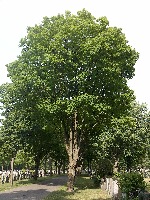
TRY THIS MODEL
Drop image here to test
tree-detection-by-season-type/4 (latest)
The training set is empty.
The validation set is empty.
The testing set is empty.
Classes
Layers
                            {
    "accumulator": null,
    "annotation_jobs": [
        "8Fu4BtpSZNfqPefyaNQh/09Ht0kqXq65p3LHkENUX",
        "dTeLVe9vEcJB0QKJjjsG/ArDgqhjaHL3Zw0MEL0ao",
        "FNC1oLpw7yLLJ00srapF/BjiKwCgMdaN3VqYymZFQ"
    ],
    "annotations": {
        "trees": {
            "original": {
                "annotation": "[{\"id\":95,\"image_id\":59,\"category_id\":31,\"segmentation\":[],\"bbox\":[6.490816900349473,16.22027534418023,1917.2365456821012,2394.1126408009986],\"ignore\":0,\"iscrowd\":0,\"area\":4590080.24942316}]",
                "format": "json",
                "source": "coco"
            },
            "converted": "{\"key\":\"282b93c4-200701_165218_Garmin_Oregon7xx_DSC00274.jpg\",\"boxes\":[{\"label\":\"Tree\",\"x\":965.1090897414001,\"y\":1213.2765957446795,\"width\":1917.2365456821012,\"height\":2394.1126408009986,\"keypoints\":[]}],\"width\":1944,\"height\":2592}",
            "extra": null,
            "used": true,
            "key": [
                "282b93c4-200701_165218_Garmin_Oregon7xx_DSC00274.jpg"
            ]
        },
        "trees-qDft": {
            "original": {
                "annotation": "[{\"id\":95,\"image_id\":59,\"category_id\":31,\"segmentation\":[],\"bbox\":[6.490816900349473,16.22027534418023,1917.2365456821012,2394.1126408009986],\"ignore\":0,\"iscrowd\":0,\"area\":4590080.24942316}]",
                "format": "json",
                "source": "coco"
            },
            "extra": null,
            "used": true,
            "key": [
                "282b93c4-200701_165218_Garmin_Oregon7xx_DSC00274.jpg"
            ],
            "by": "vKApOnDiwjaSVG3dsP3mDQx4C3g2",
            "converted": "{\"key\":\"282b93c4-200701_165218_Garmin_Oregon7xx_DSC00274.jpg\",\"boxes\":[{\"label\":\"Feuillu\",\"x\":\"965.11\",\"y\":\"1213.28\",\"width\":\"1917.24\",\"height\":\"2394.11\"}],\"width\":1944,\"height\":2592}",
            "lastSet": "1705422389497"
        },
        "Tree": {
            "original": {
                "annotation": "[{\"id\":95,\"image_id\":59,\"category_id\":31,\"segmentation\":[],\"bbox\":[6.490816900349473,16.22027534418023,1917.2365456821012,2394.1126408009986],\"ignore\":0,\"iscrowd\":0,\"area\":4590080.24942316}]",
                "format": "json",
                "source": "coco"
            },
            "converted": "{\"key\":\"282b93c4-200701_165218_Garmin_Oregon7xx_DSC00274.jpg\",\"boxes\":[{\"label\":\"Tree\",\"x\":965.1090897414001,\"y\":1213.2765957446795,\"width\":1917.2365456821012,\"height\":2394.1126408009986,\"keypoints\":[]}],\"width\":1944,\"height\":2592}",
            "extra": null,
            "used": true,
            "key": [
                "282b93c4-200701_165218_Garmin_Oregon7xx_DSC00274.jpg"
            ]
        }
    },
    "camera": "Garmin Oregon 7xx",
    "classes": [
        "trees",
        "trees-qDft",
        "Tree"
    ],
    "created": {
        "_seconds": 1705367192,
        "_nanoseconds": 893000000
    },
    "datasets": [
        "8Fu4BtpSZNfqPefyaNQh",
        "dTeLVe9vEcJB0QKJjjsG",
        "FNC1oLpw7yLLJ00srapF"
    ],
    "extension": "jpg",
    "hashes": [
        "0088930251e46d867e1ca39a41faf7ae"
    ],
    "height": 2592,
    "id": "BcQY9uWp6ipv64BesowW",
    "label": [
        "Unlabeled"
    ],
    "metadata": {
        "ExifVersion": "0220",
        "GPSLatitude": "46,48,26.592650248163014",
        "GPSAltitude": "81.56891111834317",
        "GPSAltitudeRef": "0",
        "DateTime": "2020:07:01 16:52:18",
        "GPSMapDatum": "WGS-84",
        "DateTimeOriginal": "2020:07:01 16:52:18",
        "FlashpixVersion": "0100",
        "WhiteBalance": "Auto white balance",
        "GPSLatitudeRef": "N",
        "GPSVersionID": "2.2.0.0",
        "ExifIFDPointer": "124",
        "Flash": "Flash did not fire, auto mode",
        "FNumber": "2.650000096622392",
        "GPSLongitudeRef": "W",
        "FocalLengthIn35mmFilm": "31",
        "Make": "Garmin",
        "GPSLongitude": "71,15,31.034935429356103",
        "Orientation": "right-top",
        "GPSImgDirection": "115.27220750078611",
        "GPSImgDirectionRef": "T",
        "GPSInfoIFDPointer": "290",
        "DigitalZoomRatio": "0",
        "FocalLength": "4.081999780895211",
        "Model": "Oregon 7xx"
    },
    "name": "282b93c4-200701_165218_Garmin_Oregon7xx_DSC00274.jpg",
    "owner": "vKApOnDiwjaSVG3dsP3mDQx4C3g2",
    "projects": [
        "8Fu4BtpSZNfqPefyaNQh",
        "dTeLVe9vEcJB0QKJjjsG",
        "FNC1oLpw7yLLJ00srapF"
    ],
    "r": 0.88,
    "split": "train",
    "split.8Fu4BtpSZNfqPefyaNQh": "valid",
    "split.FNC1oLpw7yLLJ00srapF": "train",
    "split.dTeLVe9vEcJB0QKJjjsG": "train",
    "tags": [
        "8Fu4BtpSZNfqPefyaNQh:status:approved",
        "dTeLVe9vEcJB0QKJjjsG:status:annotated",
        "FNC1oLpw7yLLJ00srapF:status:approved"
    ],
    "updated": {
        "_seconds": 1707833309,
        "_nanoseconds": 773000000
    },
    "updatedDate": "Feb 13, 2024",
    "updatedFromRegenerate": "1705422389497",
    "updatedTime": "2:08PM",
    "updatedTimezone": "+00:00",
    "uploader": "vKApOnDiwjaSVG3dsP3mDQx4C3g2",
    "width": 1944
}
{
    "boxes": [
        {
            "label": "Tree",
            "x": 965.1090897414001,
            "y": 1213.2765957446795,
            "width": 1917.2365456821012,
            "height": 2394.1126408009986,
            "keypoints": []
        }
    ],
    "height": 2592,
    "key": "282b93c4-200701_165218_Garmin_Oregon7xx_DSC00274.jpg",
    "width": 1944
}
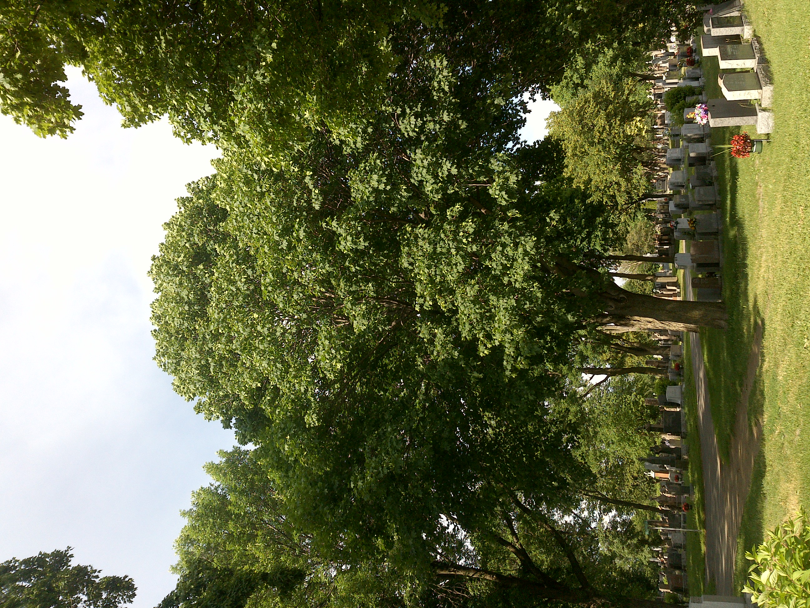
Annotation Editor
Smart Polygon