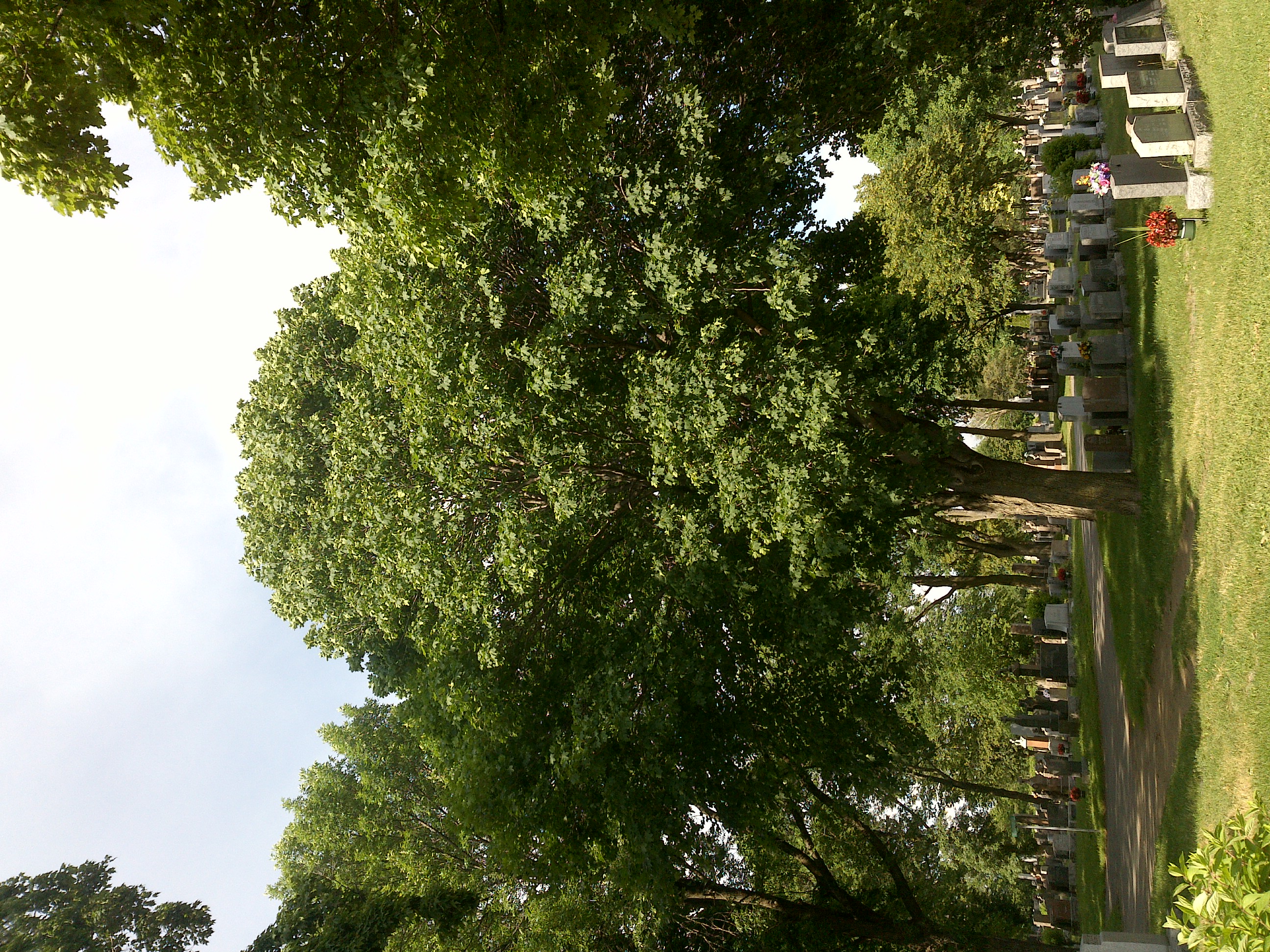
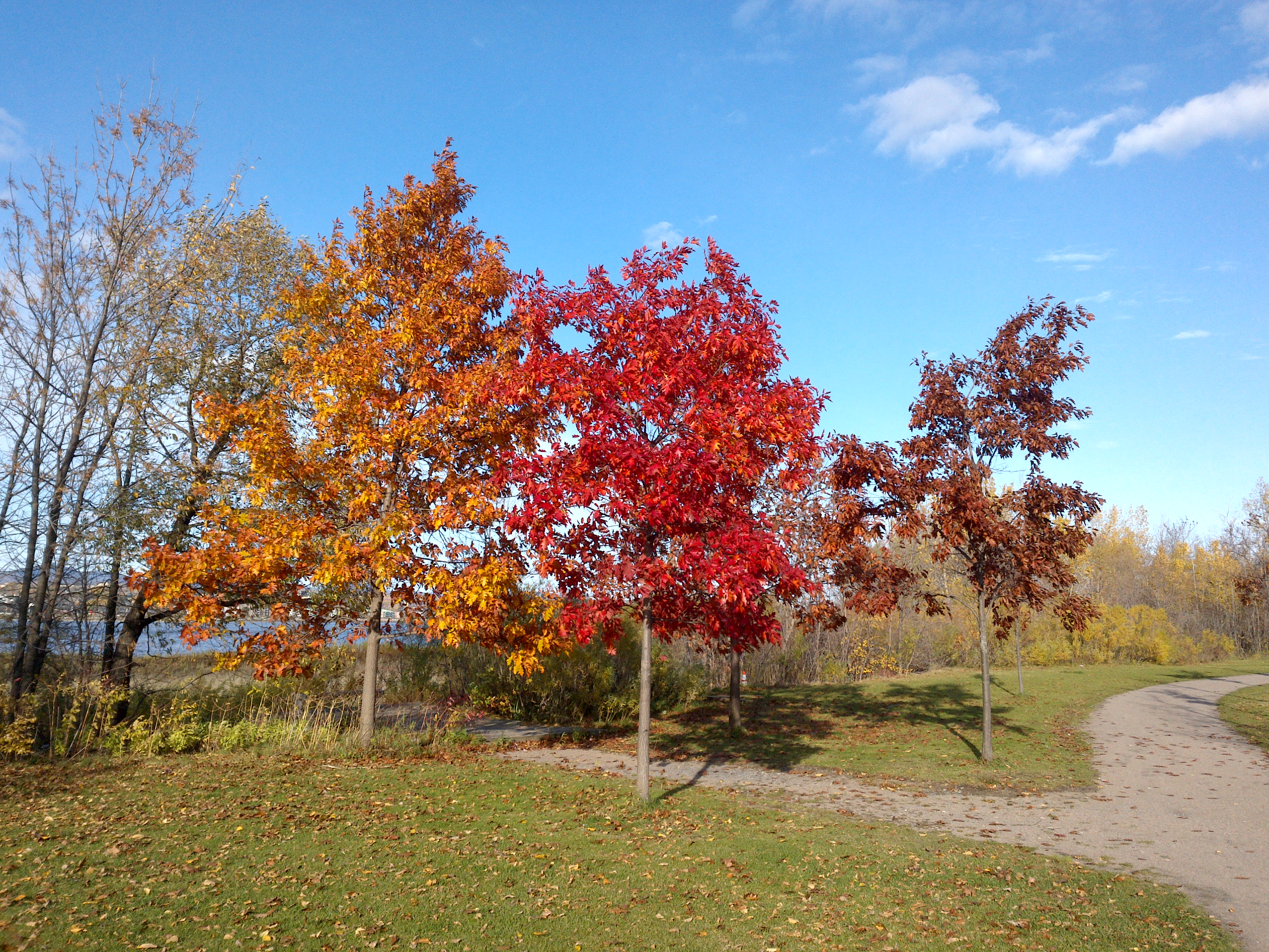
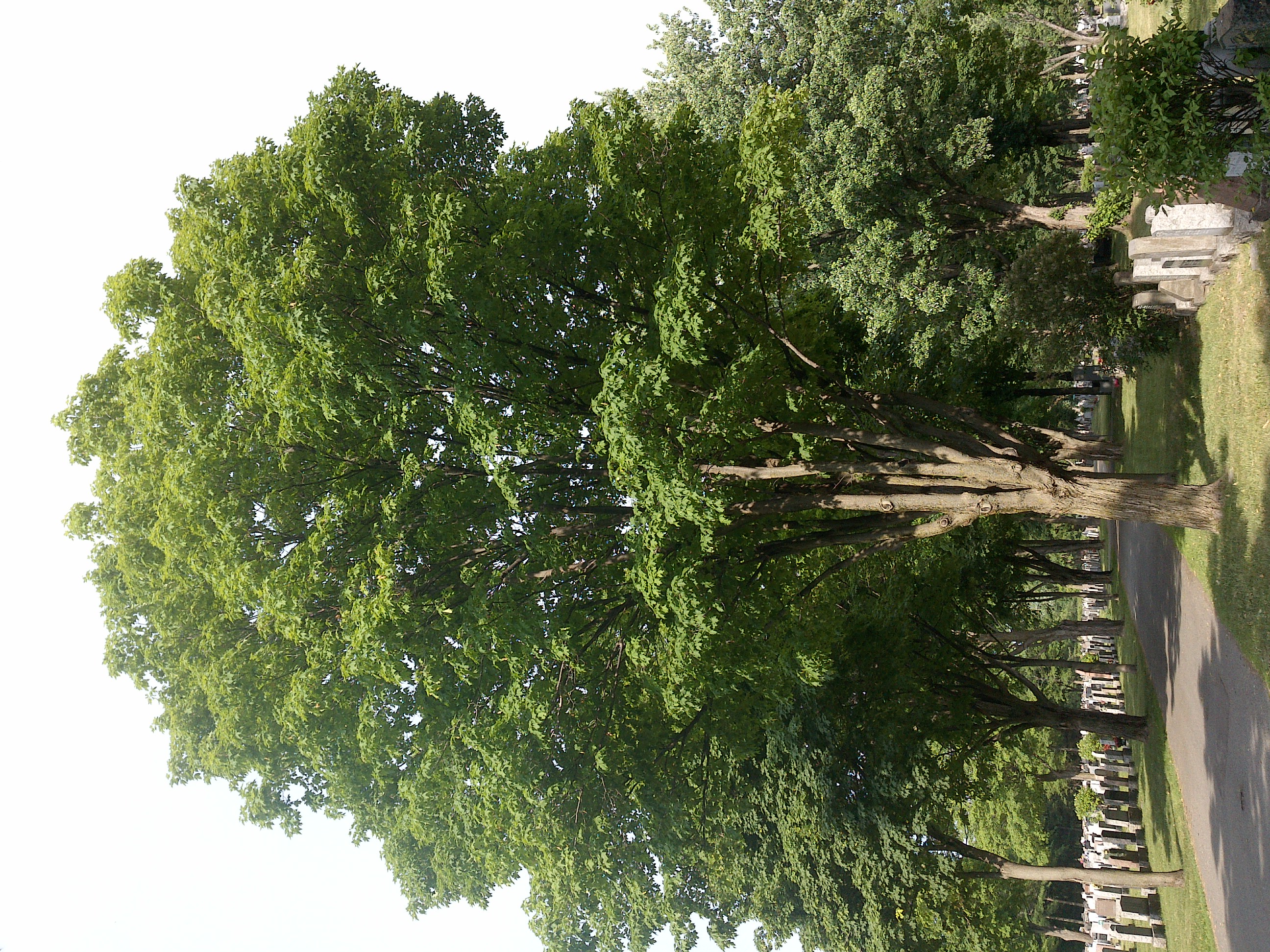
TRY THIS MODEL
Drop image here to test
tree-detection-by-season-type/4 (latest)
The training set is empty.
The validation set is empty.
The testing set is empty.
Classes
Layers
                            {
    "accumulator": null,
    "annotation_jobs": [
        "8Fu4BtpSZNfqPefyaNQh/09Ht0kqXq65p3LHkENUX",
        "dTeLVe9vEcJB0QKJjjsG/ArDgqhjaHL3Zw0MEL0ao",
        "FNC1oLpw7yLLJ00srapF/BjiKwCgMdaN3VqYymZFQ"
    ],
    "annotations": {
        "trees": {
            "original": {
                "annotation": "[{\"id\":51,\"image_id\":26,\"category_id\":31,\"segmentation\":[],\"bbox\":[2221.3697270471466,735.6327543424318,236.36724565756805,639.1563275434244],\"ignore\":0,\"iscrowd\":0,\"area\":151075.62068604562},{\"id\":52,\"image_id\":26,\"category_id\":31,\"segmentation\":[],\"bbox\":[2180.3495012218623,214.66004962779164,407.63064766150904,1254.1935483870961],\"ignore\":0,\"iscrowd\":0,\"area\":511247.7284219182},{\"id\":53,\"image_id\":26,\"category_id\":31,\"segmentation\":[],\"bbox\":[959.940446650124,178.48138957816377,1215.6029776674939,1331.3746898263025],\"ignore\":0,\"iscrowd\":0,\"area\":1618423.0373439894},{\"id\":54,\"image_id\":26,\"category_id\":31,\"segmentation\":[],\"bbox\":[101.30024813895783,209.83622828784118,959.9404466501242,1266.2531017369727],\"ignore\":0,\"iscrowd\":0,\"area\":1215527.5680534947}]",
                "format": "json",
                "source": "coco"
            },
            "converted": "{\"key\":\"3bbeecfc-200622_180128_Garmin_Oregon7xx_DSC00057.jpg\",\"boxes\":[{\"label\":\"Tree\",\"x\":2339.5533498759305,\"y\":1055.210918114144,\"width\":236.36724565756805,\"height\":639.1563275434244,\"keypoints\":[]},{\"label\":\"Tree\",\"x\":2384.164825052617,\"y\":841.7568238213397,\"width\":407.63064766150904,\"height\":1254.1935483870961,\"keypoints\":[]},{\"label\":\"Tree\",\"x\":1567.741935483871,\"y\":844.168734491315,\"width\":1215.6029776674939,\"height\":1331.3746898263025,\"keypoints\":[]},{\"label\":\"Tree\",\"x\":581.2704714640199,\"y\":842.9627791563275,\"width\":959.9404466501242,\"height\":1266.2531017369727,\"keypoints\":[]}],\"width\":2592,\"height\":1944}",
            "extra": null,
            "used": true,
            "key": [
                "3bbeecfc-200622_180128_Garmin_Oregon7xx_DSC00057.jpg"
            ]
        },
        "trees-qDft": {
            "original": {
                "annotation": "[{\"id\":51,\"image_id\":26,\"category_id\":31,\"segmentation\":[],\"bbox\":[2221.3697270471466,735.6327543424318,236.36724565756805,639.1563275434244],\"ignore\":0,\"iscrowd\":0,\"area\":151075.62068604562},{\"id\":52,\"image_id\":26,\"category_id\":31,\"segmentation\":[],\"bbox\":[2180.3495012218623,214.66004962779164,407.63064766150904,1254.1935483870961],\"ignore\":0,\"iscrowd\":0,\"area\":511247.7284219182},{\"id\":53,\"image_id\":26,\"category_id\":31,\"segmentation\":[],\"bbox\":[959.940446650124,178.48138957816377,1215.6029776674939,1331.3746898263025],\"ignore\":0,\"iscrowd\":0,\"area\":1618423.0373439894},{\"id\":54,\"image_id\":26,\"category_id\":31,\"segmentation\":[],\"bbox\":[101.30024813895783,209.83622828784118,959.9404466501242,1266.2531017369727],\"ignore\":0,\"iscrowd\":0,\"area\":1215527.5680534947}]",
                "format": "json",
                "source": "coco"
            },
            "extra": null,
            "used": true,
            "key": [
                "3bbeecfc-200622_180128_Garmin_Oregon7xx_DSC00057.jpg"
            ],
            "by": "vKApOnDiwjaSVG3dsP3mDQx4C3g2",
            "converted": "{\"key\":\"3bbeecfc-200622_180128_Garmin_Oregon7xx_DSC00057.jpg\",\"boxes\":[{\"label\":\"Feuillu\",\"x\":\"2084.56\",\"y\":\"1237.55\",\"width\":\"407.63\",\"height\":\"1254.19\"},{\"label\":\"Feuillu\",\"x\":\"1567.74\",\"y\":\"844.98\",\"width\":\"1215.60\",\"height\":\"1331.37\"},{\"label\":\"Feuillu\",\"x\":\"581.27\",\"y\":\"843.76\",\"width\":\"959.94\",\"height\":\"1266.25\"}],\"width\":2592,\"height\":1944}",
            "lastSet": "1705422274579"
        },
        "Tree": {
            "original": {
                "annotation": "[{\"id\":51,\"image_id\":26,\"category_id\":31,\"segmentation\":[],\"bbox\":[2221.3697270471466,735.6327543424318,236.36724565756805,639.1563275434244],\"ignore\":0,\"iscrowd\":0,\"area\":151075.62068604562},{\"id\":52,\"image_id\":26,\"category_id\":31,\"segmentation\":[],\"bbox\":[2180.3495012218623,214.66004962779164,407.63064766150904,1254.1935483870961],\"ignore\":0,\"iscrowd\":0,\"area\":511247.7284219182},{\"id\":53,\"image_id\":26,\"category_id\":31,\"segmentation\":[],\"bbox\":[959.940446650124,178.48138957816377,1215.6029776674939,1331.3746898263025],\"ignore\":0,\"iscrowd\":0,\"area\":1618423.0373439894},{\"id\":54,\"image_id\":26,\"category_id\":31,\"segmentation\":[],\"bbox\":[101.30024813895783,209.83622828784118,959.9404466501242,1266.2531017369727],\"ignore\":0,\"iscrowd\":0,\"area\":1215527.5680534947}]",
                "format": "json",
                "source": "coco"
            },
            "converted": "{\"key\":\"3bbeecfc-200622_180128_Garmin_Oregon7xx_DSC00057.jpg\",\"boxes\":[{\"label\":\"Tree\",\"x\":2339.5533498759305,\"y\":1055.210918114144,\"width\":236.36724565756805,\"height\":639.1563275434244,\"keypoints\":[]},{\"label\":\"Tree\",\"x\":2384.164825052617,\"y\":841.7568238213397,\"width\":407.63064766150904,\"height\":1254.1935483870961,\"keypoints\":[]},{\"label\":\"Tree\",\"x\":1567.741935483871,\"y\":844.168734491315,\"width\":1215.6029776674939,\"height\":1331.3746898263025,\"keypoints\":[]},{\"label\":\"Tree\",\"x\":581.2704714640199,\"y\":842.9627791563275,\"width\":959.9404466501242,\"height\":1266.2531017369727,\"keypoints\":[]}],\"width\":2592,\"height\":1944}",
            "extra": null,
            "used": true,
            "key": [
                "3bbeecfc-200622_180128_Garmin_Oregon7xx_DSC00057.jpg"
            ]
        }
    },
    "camera": "Garmin Oregon 7xx",
    "classes": [
        "trees",
        "trees-qDft",
        "Tree"
    ],
    "created": {
        "_seconds": 1705367192,
        "_nanoseconds": 893000000
    },
    "datasets": [
        "8Fu4BtpSZNfqPefyaNQh",
        "dTeLVe9vEcJB0QKJjjsG",
        "FNC1oLpw7yLLJ00srapF"
    ],
    "extension": "jpg",
    "hashes": [
        "e565fcbdedf97ea7e2733d5d9a7eb051"
    ],
    "height": 1944,
    "id": "8xFuSM7Tuii710KIdGKP",
    "label": [
        "Unlabeled"
    ],
    "metadata": {
        "ExifVersion": "0220",
        "GPSLatitude": "46,48,25.638219499428548",
        "GPSAltitude": "27.600185703431915",
        "GPSAltitudeRef": "0",
        "DateTime": "2020:06:22 18:01:28",
        "GPSMapDatum": "WGS-84",
        "DateTimeOriginal": "2020:06:22 18:01:28",
        "FlashpixVersion": "0100",
        "WhiteBalance": "Auto white balance",
        "GPSLatitudeRef": "N",
        "GPSVersionID": "2.2.0.0",
        "ExifIFDPointer": "124",
        "Flash": "Flash did not fire, auto mode",
        "FNumber": "2.650000096622392",
        "GPSLongitudeRef": "W",
        "FocalLengthIn35mmFilm": "31",
        "Make": "Garmin",
        "GPSLongitude": "71,15,32.5454887782376",
        "Orientation": "top-left",
        "GPSImgDirection": "89.87769580209161",
        "GPSImgDirectionRef": "T",
        "GPSInfoIFDPointer": "290",
        "DigitalZoomRatio": "0",
        "FocalLength": "4.081999780895211",
        "Model": "Oregon 7xx"
    },
    "name": "3bbeecfc-200622_180128_Garmin_Oregon7xx_DSC00057.jpg",
    "owner": "vKApOnDiwjaSVG3dsP3mDQx4C3g2",
    "projects": [
        "8Fu4BtpSZNfqPefyaNQh",
        "dTeLVe9vEcJB0QKJjjsG",
        "FNC1oLpw7yLLJ00srapF"
    ],
    "r": 0.74,
    "split": "train",
    "split.8Fu4BtpSZNfqPefyaNQh": "train",
    "split.FNC1oLpw7yLLJ00srapF": "train",
    "split.dTeLVe9vEcJB0QKJjjsG": "train",
    "tags": [
        "8Fu4BtpSZNfqPefyaNQh:status:approved",
        "dTeLVe9vEcJB0QKJjjsG:status:annotated",
        "FNC1oLpw7yLLJ00srapF:status:approved"
    ],
    "updated": {
        "_seconds": 1707833309,
        "_nanoseconds": 773000000
    },
    "updatedDate": "Feb 13, 2024",
    "updatedFromRegenerate": "1705422274579",
    "updatedTime": "2:08PM",
    "updatedTimezone": "+00:00",
    "uploader": "vKApOnDiwjaSVG3dsP3mDQx4C3g2",
    "width": 2592
}
{
    "boxes": [
        {
            "label": "Tree",
            "x": 2339.5533498759305,
            "y": 1055.210918114144,
            "width": 236.36724565756805,
            "height": 639.1563275434244,
            "keypoints": []
        },
        {
            "label": "Tree",
            "x": 2384.164825052617,
            "y": 841.7568238213397,
            "width": 407.63064766150904,
            "height": 1254.1935483870961,
            "keypoints": []
        },
        {
            "label": "Tree",
            "x": 1567.741935483871,
            "y": 844.168734491315,
            "width": 1215.6029776674939,
            "height": 1331.3746898263025,
            "keypoints": []
        },
        {
            "label": "Tree",
            "x": 581.2704714640199,
            "y": 842.9627791563275,
            "width": 959.9404466501242,
            "height": 1266.2531017369727,
            "keypoints": []
        }
    ],
    "height": 1944,
    "key": "3bbeecfc-200622_180128_Garmin_Oregon7xx_DSC00057.jpg",
    "width": 2592
}
Annotation Editor
Smart Polygon