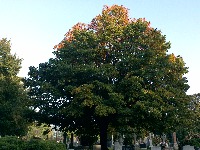
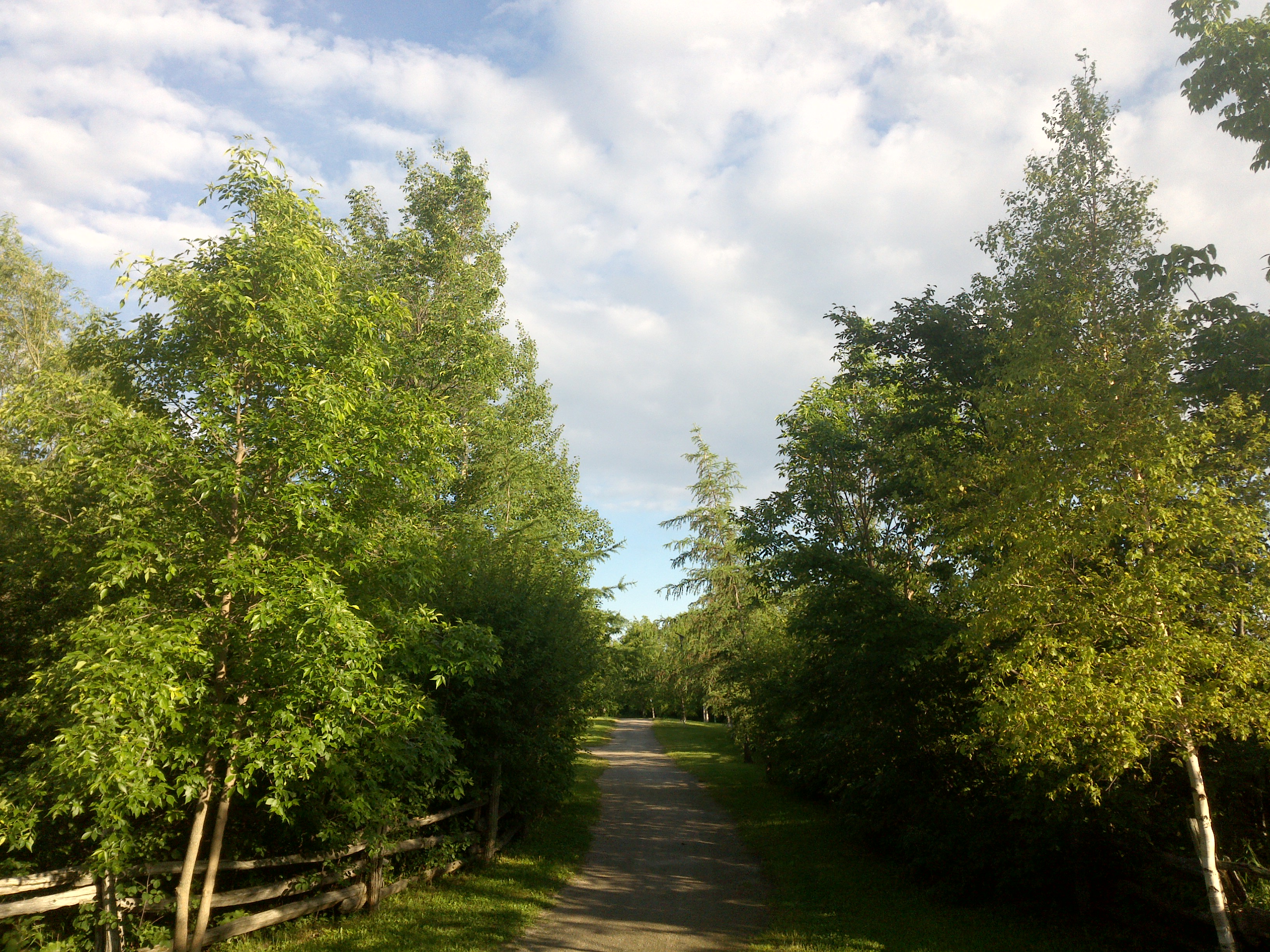
TRY THIS MODEL
Drop image here to test
summer-tree-detection/4 (latest)
The training set is empty.
The validation set is empty.
The testing set is empty.
Classes
Layers
{
"accumulator": null,
"annotation_jobs": [
"8Fu4BtpSZNfqPefyaNQh/09Ht0kqXq65p3LHkENUX",
"dTeLVe9vEcJB0QKJjjsG/ArDgqhjaHL3Zw0MEL0ao",
"FNC1oLpw7yLLJ00srapF/BjiKwCgMdaN3VqYymZFQ"
],
"annotations": {
"trees": {
"original": {
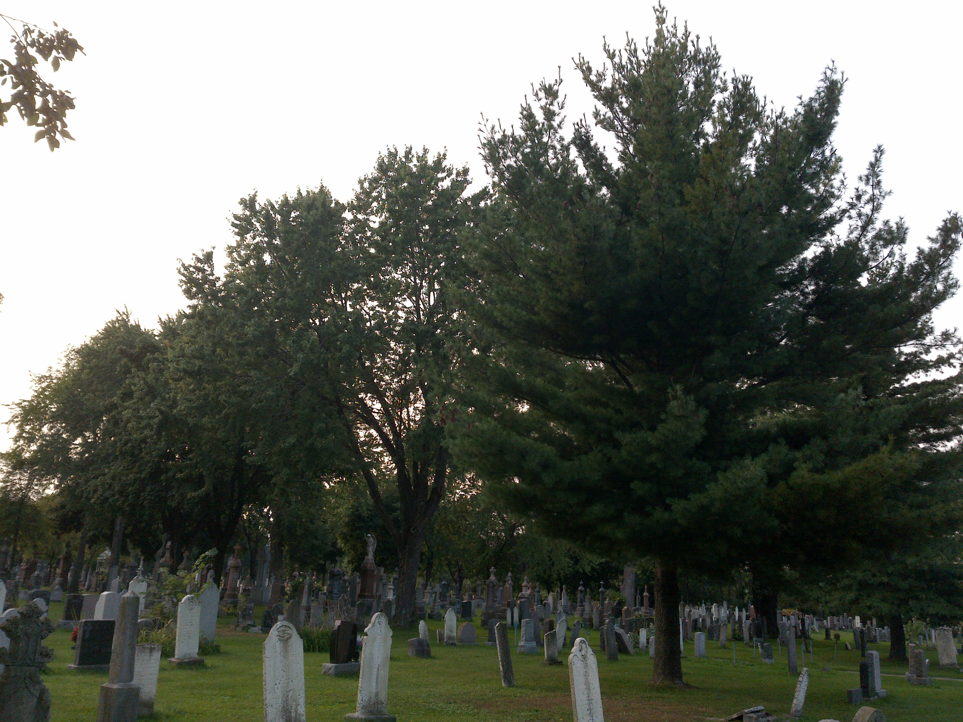
"annotation": "[{\"id\":101,\"image_id\":65,\"category_id\":31,\"segmentation\":[],\"bbox\":[67.40425531914893,667.9148936170211,612.7659574468084,1718.8085106382982],\"ignore\":0,\"iscrowd\":0,\"area\":1053227.3426889996},{\"id\":102,\"image_id\":65,\"category_id\":31,\"segmentation\":[],\"bbox\":[490.2127659574469,15.319148936170214,1899.5744680851064,2395.9148936170213],\"ignore\":0,\"iscrowd\":0,\"area\":4551218.759619738}]",
"format": "json",
"source": "coco"
},
"converted": "{\"key\":\"0d91880f-200701_165801_Garmin_Oregon7xx_DSC00282.jpg\",\"boxes\":[{\"label\":\"Tree\",\"x\":373.78723404255317,\"y\":1527.3191489361702,\"width\":612.7659574468084,\"height\":1718.8085106382982,\"keypoints\":[]},{\"label\":\"Tree\",\"x\":1440,\"y\":1213.276595744681,\"width\":1899.5744680851064,\"height\":2395.9148936170213,\"keypoints\":[]}],\"width\":3264,\"height\":2448}",
"extra": null,
"used": true,
"key": [
"0d91880f-200701_165801_Garmin_Oregon7xx_DSC00282.jpg"
]
},
"trees-qDft": {
"original": {
"annotation": "[{\"id\":101,\"image_id\":65,\"category_id\":31,\"segmentation\":[],\"bbox\":[67.40425531914893,667.9148936170211,612.7659574468084,1718.8085106382982],\"ignore\":0,\"iscrowd\":0,\"area\":1053227.3426889996},{\"id\":102,\"image_id\":65,\"category_id\":31,\"segmentation\":[],\"bbox\":[490.2127659574469,15.319148936170214,1899.5744680851064,2395.9148936170213],\"ignore\":0,\"iscrowd\":0,\"area\":4551218.759619738}]",
"format": "json",
"source": "coco"
},
"extra": null,
"used": true,
"key": [
"0d91880f-200701_165801_Garmin_Oregon7xx_DSC00282.jpg"
],
"by": "vKApOnDiwjaSVG3dsP3mDQx4C3g2",
"converted": "{\"key\":\"0d91880f-200701_165801_Garmin_Oregon7xx_DSC00282.jpg\",\"boxes\":[{\"label\":\"Feuillu\",\"x\":\"373.79\",\"y\":\"1527.32\",\"width\":\"612.77\",\"height\":\"1718.81\"},{\"label\":\"Conifère\",\"x\":\"1441.27\",\"y\":\"1214.55\",\"width\":\"1899.57\",\"height\":\"2395.91\"}],\"width\":3264,\"height\":2448}",
"lastSet": "1705421988977"
},
"Tree": {
"original": {
"annotation": "[{\"id\":101,\"image_id\":65,\"category_id\":31,\"segmentation\":[],\"bbox\":[67.40425531914893,667.9148936170211,612.7659574468084,1718.8085106382982],\"ignore\":0,\"iscrowd\":0,\"area\":1053227.3426889996},{\"id\":102,\"image_id\":65,\"category_id\":31,\"segmentation\":[],\"bbox\":[490.2127659574469,15.319148936170214,1899.5744680851064,2395.9148936170213],\"ignore\":0,\"iscrowd\":0,\"area\":4551218.759619738}]",
"format": "json",
"source": "coco"
},
"extra": null,
"used": true,
"key": [
"0d91880f-200701_165801_Garmin_Oregon7xx_DSC00282.jpg"
],
"by": "vKApOnDiwjaSVG3dsP3mDQx4C3g2",
"converted": "{\"key\":\"0d91880f-200701_165801_Garmin_Oregon7xx_DSC00282.jpg\",\"boxes\":[{\"label\":\"Tree\",\"x\":\"373.79\",\"y\":\"1527.32\",\"width\":\"612.77\",\"height\":\"1718.81\"},{\"label\":\"Conifère\",\"x\":\"1440.00\",\"y\":\"1213.28\",\"width\":\"1899.57\",\"height\":\"2395.91\"}],\"width\":3264,\"height\":2448}",
"lastSet": "1708571019506"
}
},
"camera": "Garmin Oregon 7xx",
"classes": [
"trees",
"trees-qDft",
"Tree"
],
"created": {
"_seconds": 1705367192,
"_nanoseconds": 893000000
},
"datasets": [
"8Fu4BtpSZNfqPefyaNQh",
"dTeLVe9vEcJB0QKJjjsG",
"FNC1oLpw7yLLJ00srapF"
],
"extension": "jpg",
"hashes": [
"cdc3fdd4cabfd84657e3e200d2dc206c"
],
"height": 2448,
"id": "aYMnphuUO2SFnP3toLfB",
"label": [
"Unlabeled"
],
"metadata": {
"ExifVersion": "0220",
"GPSLatitude": "46,48,27.395904554722776",
"GPSAltitude": "81.7741880846542",
"GPSAltitudeRef": "0",
"DateTime": "2020:07:01 16:58:01",
"GPSMapDatum": "WGS-84",
"DateTimeOriginal": "2020:07:01 16:58:01",
"FlashpixVersion": "0100",
"WhiteBalance": "Auto white balance",
"GPSLatitudeRef": "N",
"GPSVersionID": "2.2.0.0",
"ExifIFDPointer": "124",
"Flash": "Flash did not fire, auto mode",
"FNumber": "2.650000096622392",
"GPSLongitudeRef": "W",
"FocalLengthIn35mmFilm": "31",
"Make": "Garmin",
"GPSLongitude": "71,15,27.336102169545793",
"Orientation": "top-left",
"GPSImgDirection": "64.07458592210804",
"GPSImgDirectionRef": "T",
"GPSInfoIFDPointer": "290",
"DigitalZoomRatio": "0",
"FocalLength": "4.081999780895211",
"Model": "Oregon 7xx"
},
"name": "0d91880f-200701_165801_Garmin_Oregon7xx_DSC00282.jpg",
"owner": "vKApOnDiwjaSVG3dsP3mDQx4C3g2",
"projects": [
"8Fu4BtpSZNfqPefyaNQh",
"dTeLVe9vEcJB0QKJjjsG",
"FNC1oLpw7yLLJ00srapF"
],
"r": 0.35,
"split": "train",
"split.8Fu4BtpSZNfqPefyaNQh": "valid",
"split.FNC1oLpw7yLLJ00srapF": "test",
"split.dTeLVe9vEcJB0QKJjjsG": "train",
"tags": [
"8Fu4BtpSZNfqPefyaNQh:status:approved",
"dTeLVe9vEcJB0QKJjjsG:status:annotated",
"FNC1oLpw7yLLJ00srapF:status:annotated"
],
"updated": {
"_seconds": 1707833310,
"_nanoseconds": 289000000
},
"updatedDate": "Feb 13, 2024",
"updatedFromRegenerate": "1708571019506",
"updatedTime": "2:08PM",
"updatedTimezone": "+00:00",
"uploader": "vKApOnDiwjaSVG3dsP3mDQx4C3g2",
"width": 3264
}
{
    "boxes": [
        {
            "label": "Feuillu",
            "x": "373.79",
            "y": "1527.32",
            "width": "612.77",
            "height": "1718.81"
        },
        {
            "label": "Conifère",
            "x": "1441.27",
            "y": "1214.55",
            "width": "1899.57",
            "height": "2395.91"
        }
    ],
    "height": 2448,
    "key": "0d91880f-200701_165801_Garmin_Oregon7xx_DSC00282.jpg",
    "width": 3264
}
Annotation Editor
Smart Polygon