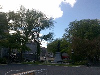
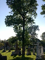
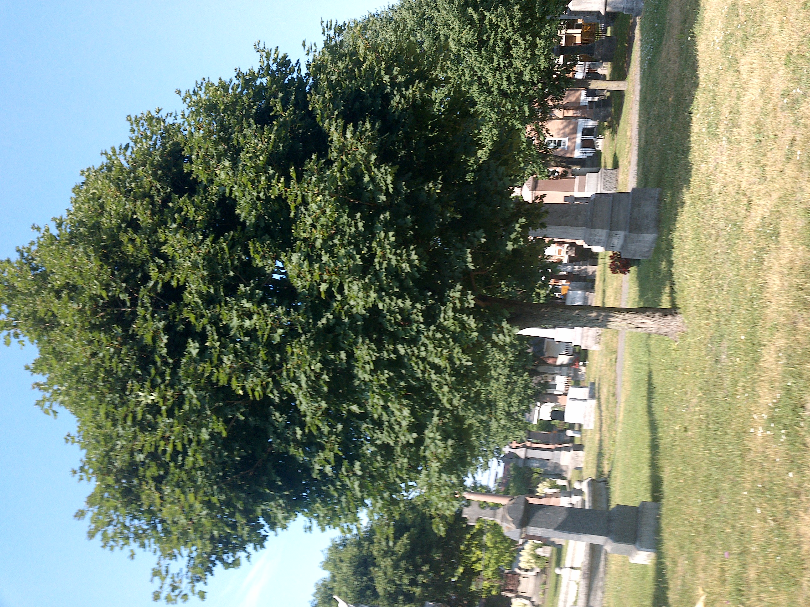
TRY THIS MODEL
Drop image here to test
summer-tree-detection/4 (latest)
The training set is empty.
The validation set is empty.
The testing set is empty.
Classes
Layers
{
"accumulator": null,
"annotation_jobs": [
"8Fu4BtpSZNfqPefyaNQh/oNVfOKmr3qZFoowVcigK",
"dTeLVe9vEcJB0QKJjjsG/Rcq3BOA5z5xRtBIe1mQw",
"FNC1oLpw7yLLJ00srapF/6ILROh5tOGEZCdtLzVCn"
],
"annotations": {
"trees": {
"original": {
"annotation": "[{\"id\":8,\"image_id\":7,\"category_id\":31,\"segmentation\":[],\"bbox\":[268.8,298.66666666666634,2065.0666666666675,2508.8000000000015],\"ignore\":0,\"iscrowd\":0,\"area\":5180839.253333339}]",
"format": "json",
"source": "coco"
},
"converted": "{\"key\":\"54cd681f-210522_172417_Garmin_Oregon7xx_DSC03337.jpg\",\"boxes\":[{\"label\":\"Tree\",\"x\":1301.3333333333337,\"y\":1553.066666666667,\"width\":2065.0666666666675,\"height\":2508.8000000000015,\"keypoints\":[]}],\"width\":2448,\"height\":3264}",
"extra": null,
"used": true,
"key": [
"54cd681f-210522_172417_Garmin_Oregon7xx_DSC03337.jpg"
]
},
"trees-qDft": {
"original": {
"annotation": "[{\"id\":8,\"image_id\":7,\"category_id\":31,\"segmentation\":[],\"bbox\":[268.8,298.66666666666634,2065.0666666666675,2508.8000000000015],\"ignore\":0,\"iscrowd\":0,\"area\":5180839.253333339}]",
"format": "json",
"source": "coco"
},
"extra": null,
"used": true,
"key": [
"54cd681f-210522_172417_Garmin_Oregon7xx_DSC03337.jpg"
],
"by": "vKApOnDiwjaSVG3dsP3mDQx4C3g2",
"converted": "{\"key\":\"54cd681f-210522_172417_Garmin_Oregon7xx_DSC03337.jpg\",\"boxes\":[{\"label\":\"Feuillu\",\"x\":\"1301.33\",\"y\":\"1553.07\",\"width\":\"2065.07\",\"height\":\"2508.80\"}],\"width\":2448,\"height\":3264}",
"lastSet": "1705423680303"
},
"Tree": {
"original": {
"annotation": "[{\"id\":8,\"image_id\":7,\"category_id\":31,\"segmentation\":[],\"bbox\":[268.8,298.66666666666634,2065.0666666666675,2508.8000000000015],\"ignore\":0,\"iscrowd\":0,\"area\":5180839.253333339}]",
"format": "json",
"source": "coco"
},
"converted": "{\"key\":\"54cd681f-210522_172417_Garmin_Oregon7xx_DSC03337.jpg\",\"boxes\":[{\"label\":\"Tree\",\"x\":1301.3333333333337,\"y\":1553.066666666667,\"width\":2065.0666666666675,\"height\":2508.8000000000015,\"keypoints\":[]}],\"width\":2448,\"height\":3264}",
"extra": null,
"used": true,
"key": [
"54cd681f-210522_172417_Garmin_Oregon7xx_DSC03337.jpg"
]
}
},
"camera": "Garmin Oregon 7xx",
"classes": [
"trees",
"trees-qDft",
"Tree"
],
"created": {
"_seconds": 1705415616,
"_nanoseconds": 724000000
},
"datasets": [
"8Fu4BtpSZNfqPefyaNQh",
"dTeLVe9vEcJB0QKJjjsG",
"FNC1oLpw7yLLJ00srapF"
],
"extension": "jpg",
"hashes": [
"09e946dd5994c9f3bd9f6a473a32712b"
],
"height": 3264,
"id": "8mr6R9gqG7PeeANNmQP1",
"label": [
"Unlabeled"
],
"metadata": {
"ExifVersion": "0220",
"GPSLatitude": "46,48,28.10652235828384",
"GPSAltitude": "21.19933144252613",
"GPSAltitudeRef": "0",
"DateTime": "2021:05:22 17:24:17",
"GPSMapDatum": "WGS-84",
"DateTimeOriginal": "2021:05:22 17:24:17",
"FlashpixVersion": "0100",
"WhiteBalance": "Auto white balance",
"GPSLatitudeRef": "N",
"GPSVersionID": "2.2.0.0",
"ExifIFDPointer": "124",
"Flash": "Flash fired, compulsory flash mode",
"FNumber": "2.650000096622392",
"GPSLongitudeRef": "W",
"FocalLengthIn35mmFilm": "31",
"Make": "Garmin",
"GPSLongitude": "71,15,27.403995664431555",
"Orientation": "right-top",
"GPSImgDirection": "25.92939785949651",
"GPSImgDirectionRef": "T",
"GPSInfoIFDPointer": "290",
"DigitalZoomRatio": "0",
"FocalLength": "4.081999780895211",
"Model": "Oregon 7xx"
},
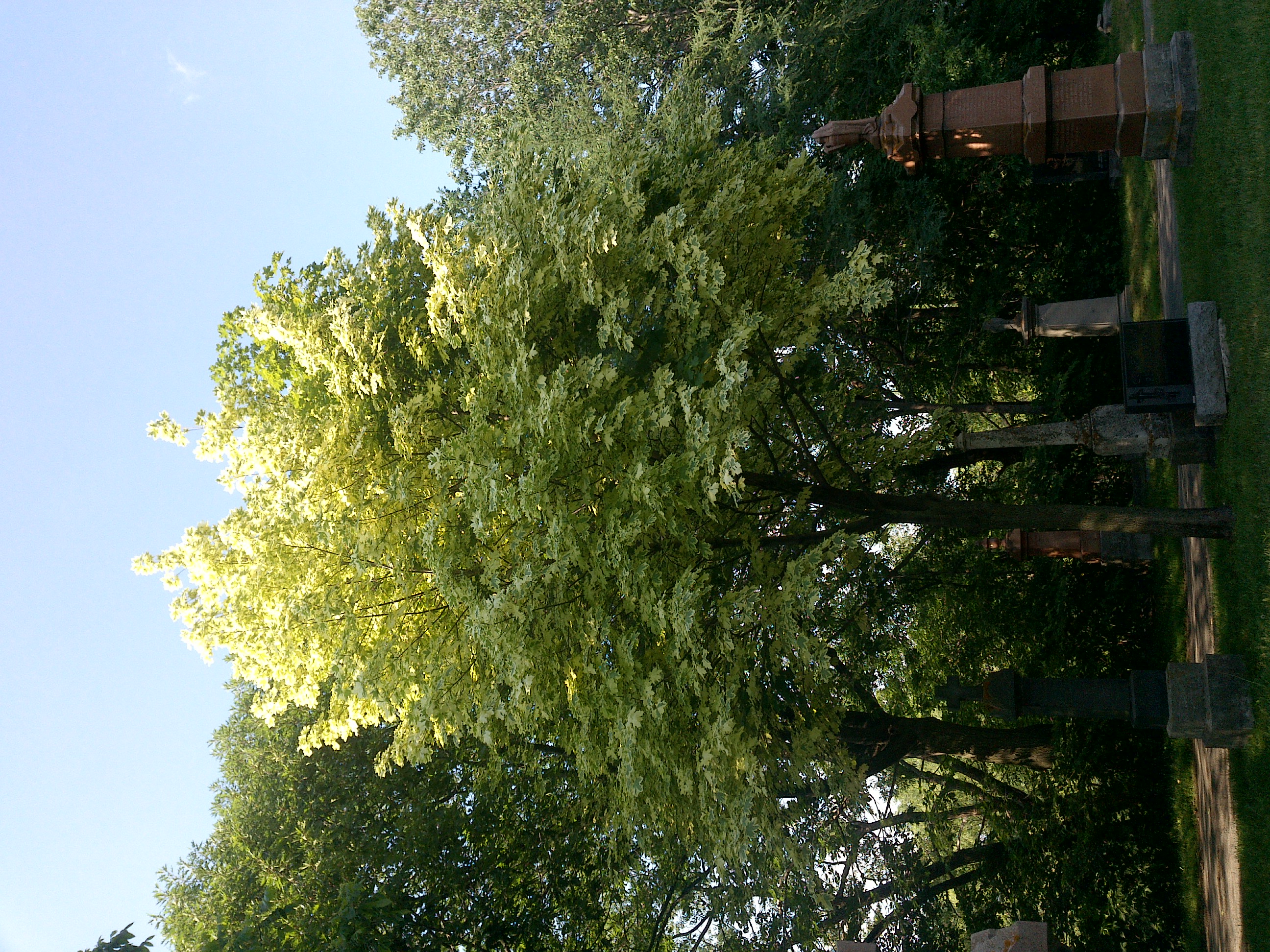
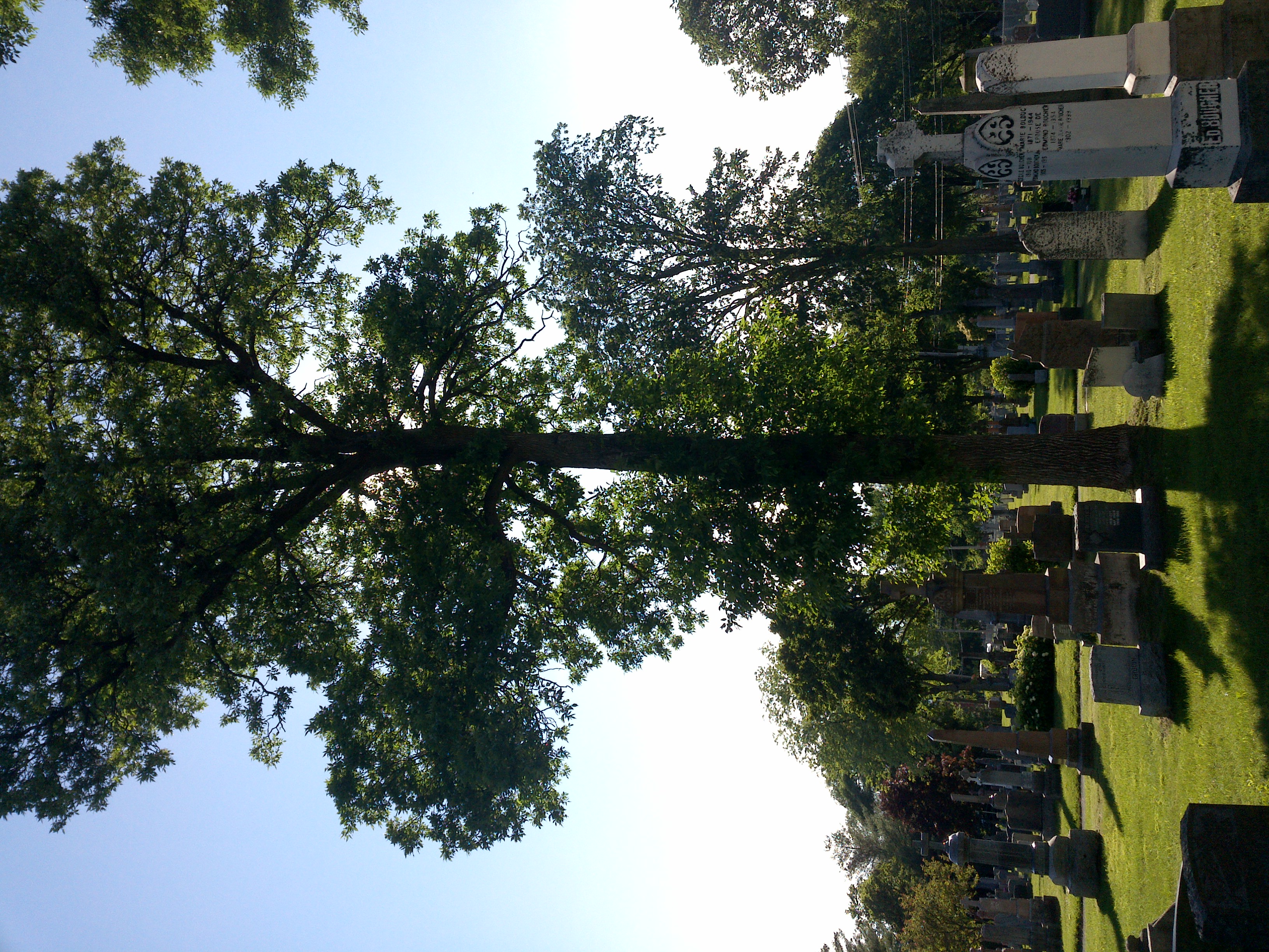
"name": "54cd681f-210522_172417_Garmin_Oregon7xx_DSC03337.jpg",
"owner": "vKApOnDiwjaSVG3dsP3mDQx4C3g2",
"projects": [
"8Fu4BtpSZNfqPefyaNQh",
"dTeLVe9vEcJB0QKJjjsG",
"FNC1oLpw7yLLJ00srapF"
],
"r": 0.28421052631578947,
"split": "train",
"split.8Fu4BtpSZNfqPefyaNQh": "train",
"split.FNC1oLpw7yLLJ00srapF": "train",
"split.dTeLVe9vEcJB0QKJjjsG": "train",
"tags": [
"8Fu4BtpSZNfqPefyaNQh:status:approved",
"dTeLVe9vEcJB0QKJjjsG:status:annotated",
"FNC1oLpw7yLLJ00srapF:status:approved"
],
"updated": {
"_seconds": 1707833737,
"_nanoseconds": 308000000
},
"updatedDate": "Feb 13, 2024",
"updatedFromRegenerate": "1705423680303",
"updatedTime": "2:15PM",
"updatedTimezone": "+00:00",
"uploader": "vKApOnDiwjaSVG3dsP3mDQx4C3g2",
"width": 2448
}
{
    "boxes": [
        {
            "label": "Feuillu",
            "x": "1301.33",
            "y": "1553.07",
            "width": "2065.07",
            "height": "2508.80"
        }
    ],
    "height": 3264,
    "key": "54cd681f-210522_172417_Garmin_Oregon7xx_DSC03337.jpg",
    "width": 2448
}
Annotation Editor
Smart Polygon