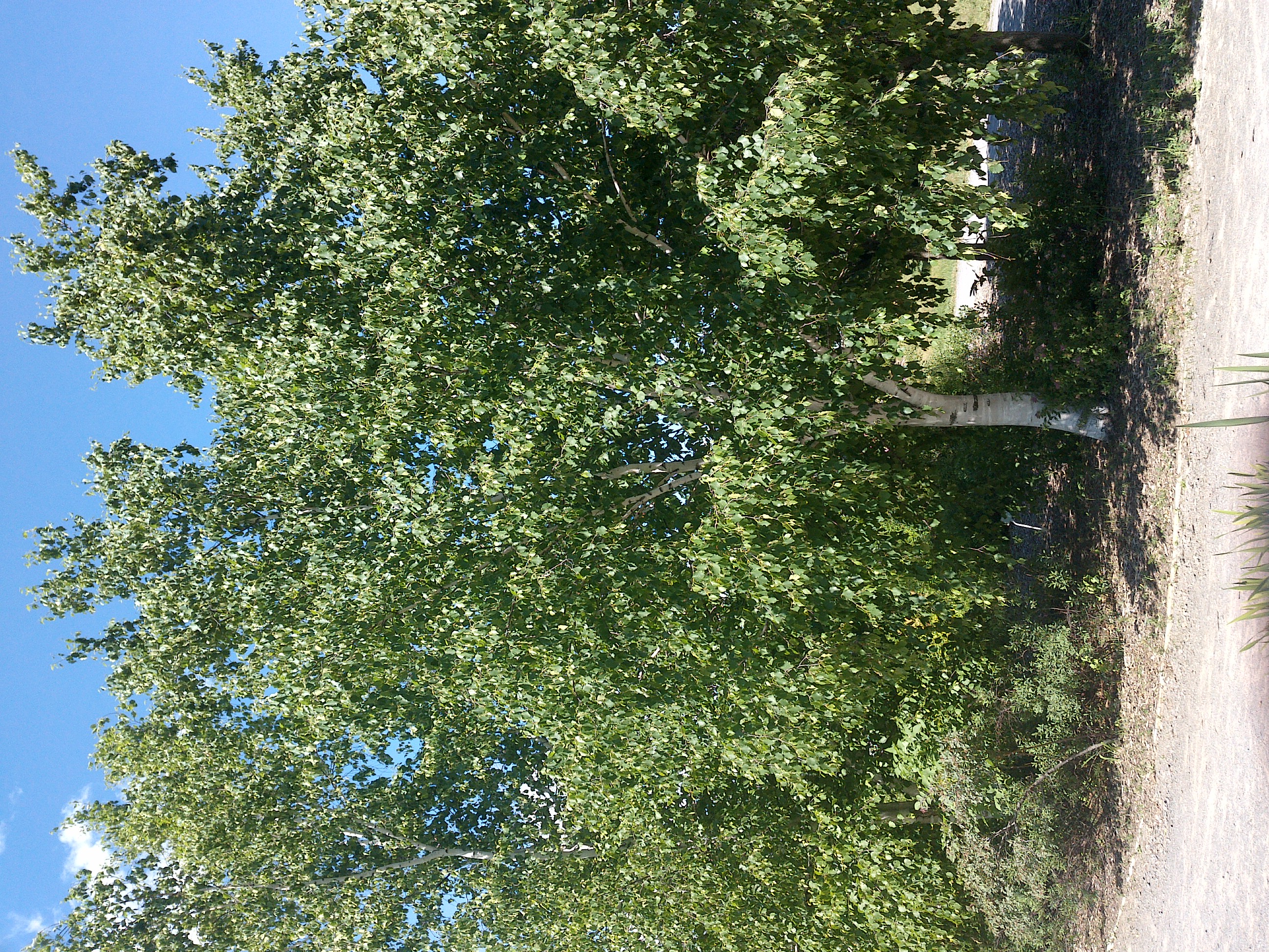
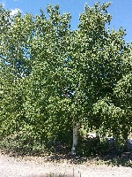
TRY THIS MODEL
Drop image here to test
summer-tree-detection/4 (latest)
The training set is empty.
The validation set is empty.
The testing set is empty.
Classes
Layers
                            {
    "accumulator": null,
    "annotation_jobs": [
        "8Fu4BtpSZNfqPefyaNQh/jWRNLH3O7gGpfEWgA3Qx",
        "dTeLVe9vEcJB0QKJjjsG/TuQswcsyxQCCD2IzkL1R",
        "FNC1oLpw7yLLJ00srapF/PlT9prHRuB8Iv4CdDw7J"
    ],
    "annotations": {
        "trees": {
            "original": {
                "annotation": "[{\"id\":16,\"image_id\":7,\"category_id\":31,\"segmentation\":[],\"bbox\":[488.66920152091245,921.4904942965779,632.9429657794677,1163.4980988593154],\"ignore\":0,\"iscrowd\":0,\"area\":736427.9373707874},{\"id\":17,\"image_id\":7,\"category_id\":31,\"segmentation\":[],\"bbox\":[1475.3155893536118,200.12167300380227,1773.171102661597,2187.376425855513],\"ignore\":0,\"iscrowd\":0,\"area\":3878592.6689702026}]",
                "format": "json",
                "source": "coco"
            },
            "converted": "{\"key\":\"8cbf4fcb-210620_184410_Garmin_Oregon7xx_DSC00236.jpg\",\"boxes\":[{\"label\":\"Tree\",\"x\":805.1406844106464,\"y\":1503.2395437262358,\"width\":632.9429657794677,\"height\":1163.4980988593154,\"keypoints\":[]},{\"label\":\"Tree\",\"x\":2361.90114068441,\"y\":1293.8098859315587,\"width\":1773.171102661597,\"height\":2187.376425855513,\"keypoints\":[]}],\"width\":3264,\"height\":2448}",
            "extra": null,
            "used": true,
            "key": [
                "8cbf4fcb-210620_184410_Garmin_Oregon7xx_DSC00236.jpg"
            ]
        },
        "trees-qDft": {
            "original": {
                "annotation": "[{\"id\":16,\"image_id\":7,\"category_id\":31,\"segmentation\":[],\"bbox\":[488.66920152091245,921.4904942965779,632.9429657794677,1163.4980988593154],\"ignore\":0,\"iscrowd\":0,\"area\":736427.9373707874},{\"id\":17,\"image_id\":7,\"category_id\":31,\"segmentation\":[],\"bbox\":[1475.3155893536118,200.12167300380227,1773.171102661597,2187.376425855513],\"ignore\":0,\"iscrowd\":0,\"area\":3878592.6689702026}]",
                "format": "json",
                "source": "coco"
            },
            "extra": null,
            "used": true,
            "key": [
                "8cbf4fcb-210620_184410_Garmin_Oregon7xx_DSC00236.jpg"
            ],
            "by": "vKApOnDiwjaSVG3dsP3mDQx4C3g2",
            "converted": "{\"key\":\"8cbf4fcb-210620_184410_Garmin_Oregon7xx_DSC00236.jpg\",\"boxes\":[{\"label\":\"Feuillu\",\"x\":\"805.14\",\"y\":\"1504.51\",\"width\":\"632.94\",\"height\":\"1163.50\"},{\"label\":\"Feuillu\",\"x\":\"2361.90\",\"y\":\"1293.81\",\"width\":\"1773.17\",\"height\":\"2187.38\"}],\"width\":3264,\"height\":2448}",
            "lastSet": "1705422645340"
        },
        "Tree": {
            "original": {
                "annotation": "[{\"id\":16,\"image_id\":7,\"category_id\":31,\"segmentation\":[],\"bbox\":[488.66920152091245,921.4904942965779,632.9429657794677,1163.4980988593154],\"ignore\":0,\"iscrowd\":0,\"area\":736427.9373707874},{\"id\":17,\"image_id\":7,\"category_id\":31,\"segmentation\":[],\"bbox\":[1475.3155893536118,200.12167300380227,1773.171102661597,2187.376425855513],\"ignore\":0,\"iscrowd\":0,\"area\":3878592.6689702026}]",
                "format": "json",
                "source": "coco"
            },
            "converted": "{\"key\":\"8cbf4fcb-210620_184410_Garmin_Oregon7xx_DSC00236.jpg\",\"boxes\":[{\"label\":\"Tree\",\"x\":805.1406844106464,\"y\":1503.2395437262358,\"width\":632.9429657794677,\"height\":1163.4980988593154,\"keypoints\":[]},{\"label\":\"Tree\",\"x\":2361.90114068441,\"y\":1293.8098859315587,\"width\":1773.171102661597,\"height\":2187.376425855513,\"keypoints\":[]}],\"width\":3264,\"height\":2448}",
            "extra": null,
            "used": true,
            "key": [
                "8cbf4fcb-210620_184410_Garmin_Oregon7xx_DSC00236.jpg"
            ]
        }
    },
    "camera": "Garmin Oregon 7xx",
    "classes": [
        "trees",
        "trees-qDft",
        "Tree"
    ],
    "created": {
        "_seconds": 1705415187,
        "_nanoseconds": 336000000
    },
    "datasets": [
        "8Fu4BtpSZNfqPefyaNQh",
        "dTeLVe9vEcJB0QKJjjsG",
        "FNC1oLpw7yLLJ00srapF"
    ],
    "extension": "jpg",
    "hashes": [
        "fb83542b1adfda7429dae8ae5a931d90"
    ],
    "height": 2448,
    "id": "BiHaMc3BexhWFzXHR9yi",
    "label": [
        "Unlabeled"
    ],
    "metadata": {
        "ExifVersion": "0220",
        "GPSLatitude": "48,24,7.194282731166167",
        "GPSAltitude": "156.44771641418959",
        "GPSAltitudeRef": "0",
        "DateTime": "2021:06:20 18:44:10",
        "GPSMapDatum": "WGS-84",
        "DateTimeOriginal": "2021:06:20 18:44:10",
        "FlashpixVersion": "0100",
        "WhiteBalance": "Auto white balance",
        "GPSLatitudeRef": "N",
        "GPSVersionID": "2.2.0.0",
        "ExifIFDPointer": "124",
        "Flash": "Flash did not fire, auto mode",
        "FNumber": "2.650000096622392",
        "GPSLongitudeRef": "W",
        "FocalLengthIn35mmFilm": "31",
        "Make": "Garmin",
        "GPSLongitude": "71,46,58.390420575467196",
        "Orientation": "top-left",
        "GPSImgDirection": "94.27567554468598",
        "GPSImgDirectionRef": "T",
        "GPSInfoIFDPointer": "290",
        "DigitalZoomRatio": "0",
        "FocalLength": "4.081999780895211",
        "Model": "Oregon 7xx"
    },
    "name": "8cbf4fcb-210620_184410_Garmin_Oregon7xx_DSC00236.jpg",
    "owner": "vKApOnDiwjaSVG3dsP3mDQx4C3g2",
    "projects": [
        "8Fu4BtpSZNfqPefyaNQh",
        "dTeLVe9vEcJB0QKJjjsG",
        "FNC1oLpw7yLLJ00srapF"
    ],
    "r": 0.03571428571428571,
    "split": "valid",
    "split.8Fu4BtpSZNfqPefyaNQh": "train",
    "split.FNC1oLpw7yLLJ00srapF": "train",
    "split.dTeLVe9vEcJB0QKJjjsG": "valid",
    "tags": [
        "8Fu4BtpSZNfqPefyaNQh:status:approved",
        "dTeLVe9vEcJB0QKJjjsG:status:annotated",
        "FNC1oLpw7yLLJ00srapF:status:approved"
    ],
    "updated": {
        "_seconds": 1707833484,
        "_nanoseconds": 589000000
    },
    "updatedDate": "Feb 13, 2024",
    "updatedFromRegenerate": "1705422645340",
    "updatedTime": "2:11PM",
    "updatedTimezone": "+00:00",
    "uploader": "vKApOnDiwjaSVG3dsP3mDQx4C3g2",
    "width": 3264
}
{
    "boxes": [
        {
            "label": "Feuillu",
            "x": "805.14",
            "y": "1504.51",
            "width": "632.94",
            "height": "1163.50"
        },
        {
            "label": "Feuillu",
            "x": "2361.90",
            "y": "1293.81",
            "width": "1773.17",
            "height": "2187.38"
        }
    ],
    "height": 2448,
    "key": "8cbf4fcb-210620_184410_Garmin_Oregon7xx_DSC00236.jpg",
    "width": 3264
}
Annotation Editor
Smart Polygon