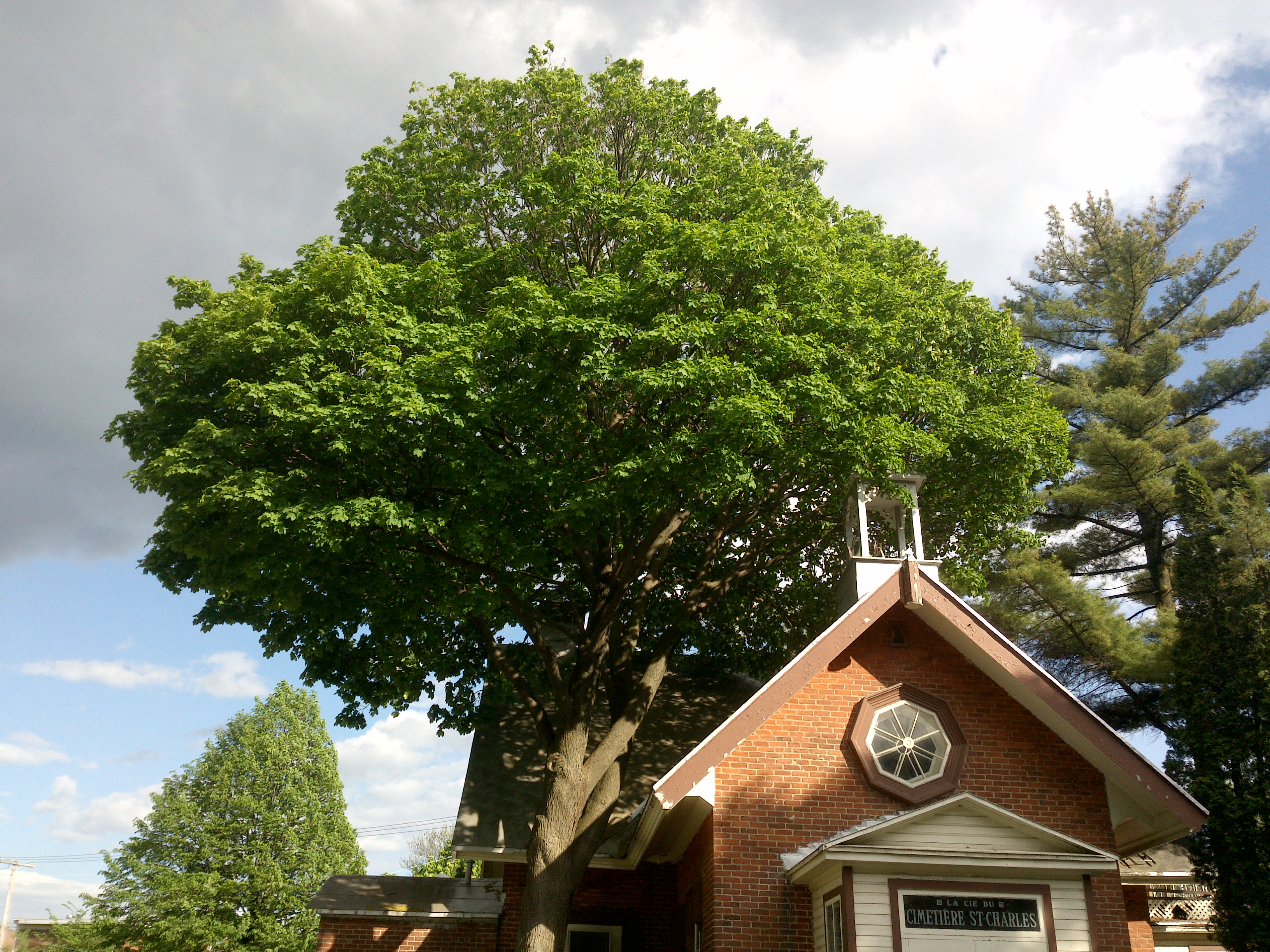
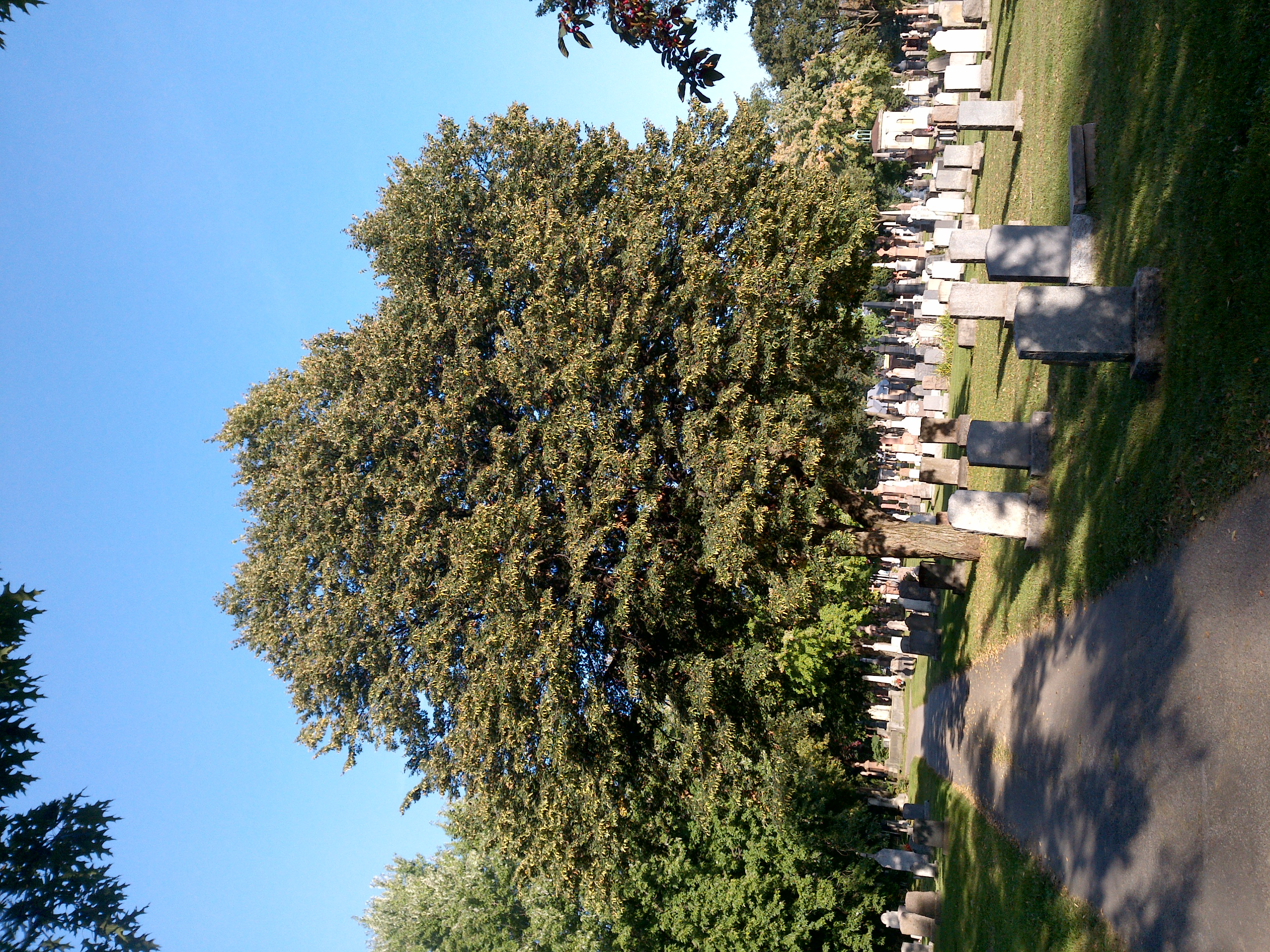
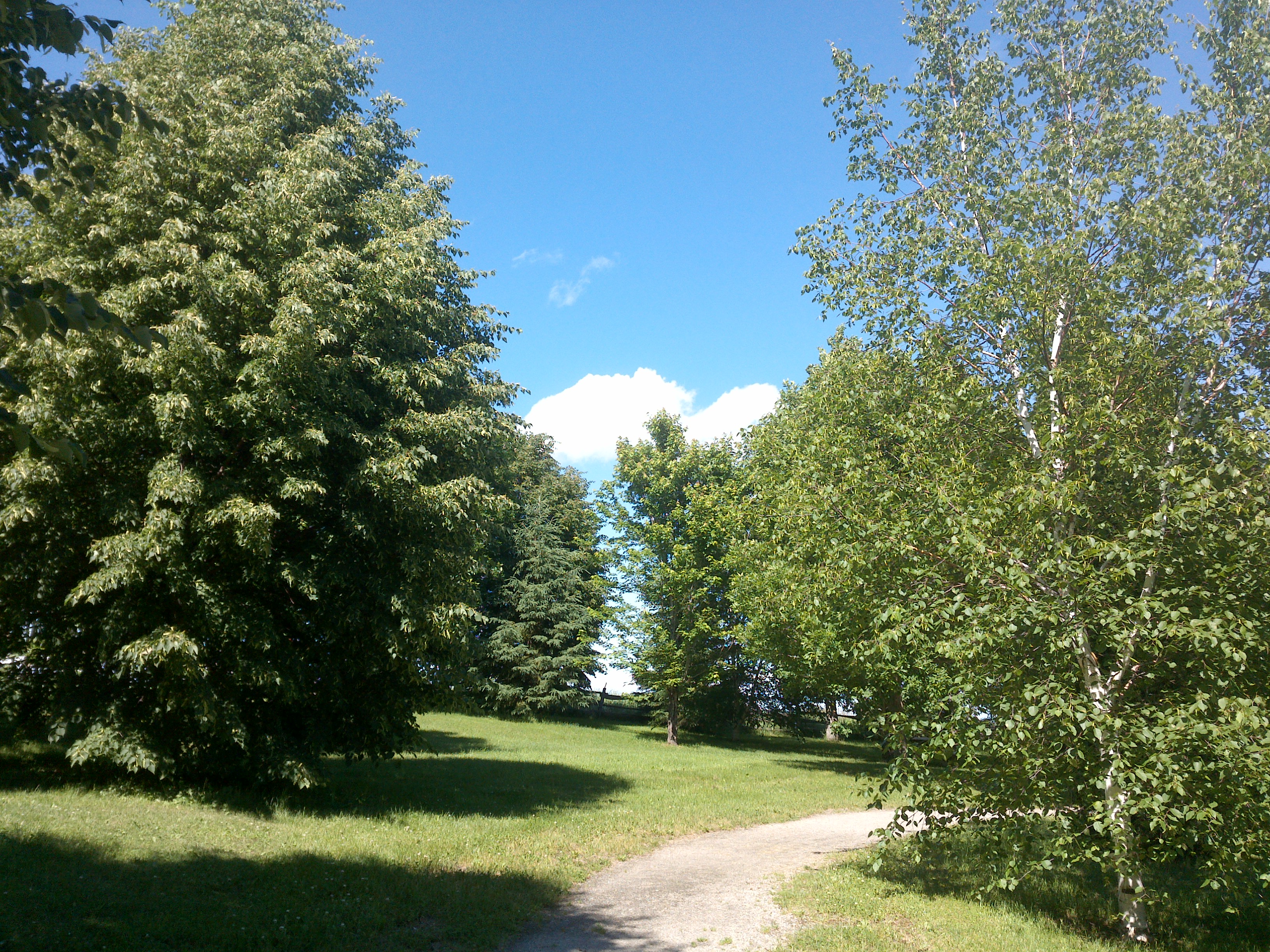
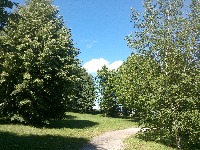
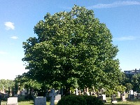
TRY THIS MODEL
Drop image here to test
summer-tree-detection/4 (latest)
The training set is empty.
The validation set is empty.
The testing set is empty.
Classes
Layers
                            {
    "accumulator": null,
    "annotation_jobs": [
        "8Fu4BtpSZNfqPefyaNQh/09Ht0kqXq65p3LHkENUX",
        "dTeLVe9vEcJB0QKJjjsG/ArDgqhjaHL3Zw0MEL0ao",
        "FNC1oLpw7yLLJ00srapF/BjiKwCgMdaN3VqYymZFQ"
    ],
    "annotations": {
        "trees": {
            "original": {
                "annotation": "[{\"id\":48,\"image_id\":23,\"category_id\":31,\"segmentation\":[],\"bbox\":[236.3826756016607,86.82878411910657,2028.4014435050424,1842.699751861042],\"ignore\":0,\"iscrowd\":0,\"area\":3737734.836621321}]",
                "format": "json",
                "source": "coco"
            },
            "converted": "{\"key\":\"a156624a-200622_175704_Garmin_Oregon7xx_DSC00053.jpg\",\"boxes\":[{\"label\":\"Tree\",\"x\":1250.583397354182,\"y\":1008.1786600496275,\"width\":2028.4014435050424,\"height\":1842.699751861042,\"keypoints\":[]}],\"width\":2592,\"height\":1944}",
            "extra": null,
            "used": true,
            "key": [
                "a156624a-200622_175704_Garmin_Oregon7xx_DSC00053.jpg"
            ]
        },
        "trees-qDft": {
            "original": {
                "annotation": "[{\"id\":48,\"image_id\":23,\"category_id\":31,\"segmentation\":[],\"bbox\":[236.3826756016607,86.82878411910657,2028.4014435050424,1842.699751861042],\"ignore\":0,\"iscrowd\":0,\"area\":3737734.836621321}]",
                "format": "json",
                "source": "coco"
            },
            "extra": null,
            "used": true,
            "key": [
                "a156624a-200622_175704_Garmin_Oregon7xx_DSC00053.jpg"
            ],
            "by": "vKApOnDiwjaSVG3dsP3mDQx4C3g2",
            "converted": "{\"key\":\"a156624a-200622_175704_Garmin_Oregon7xx_DSC00053.jpg\",\"boxes\":[{\"label\":\"Feuillu\",\"x\":\"1250.58\",\"y\":\"1009.00\",\"width\":\"2028.40\",\"height\":\"1842.70\"}],\"width\":2592,\"height\":1944}",
            "lastSet": "1705421942429"
        },
        "Tree": {
            "original": {
                "annotation": "[{\"id\":48,\"image_id\":23,\"category_id\":31,\"segmentation\":[],\"bbox\":[236.3826756016607,86.82878411910657,2028.4014435050424,1842.699751861042],\"ignore\":0,\"iscrowd\":0,\"area\":3737734.836621321}]",
                "format": "json",
                "source": "coco"
            },
            "converted": "{\"key\":\"a156624a-200622_175704_Garmin_Oregon7xx_DSC00053.jpg\",\"boxes\":[{\"label\":\"Tree\",\"x\":1250.583397354182,\"y\":1008.1786600496275,\"width\":2028.4014435050424,\"height\":1842.699751861042,\"keypoints\":[]}],\"width\":2592,\"height\":1944}",
            "extra": null,
            "used": true,
            "key": [
                "a156624a-200622_175704_Garmin_Oregon7xx_DSC00053.jpg"
            ]
        }
    },
    "camera": "Garmin Oregon 7xx",
    "classes": [
        "trees",
        "trees-qDft",
        "Tree"
    ],
    "created": {
        "_seconds": 1705367174,
        "_nanoseconds": 653000000
    },
    "datasets": [
        "8Fu4BtpSZNfqPefyaNQh",
        "dTeLVe9vEcJB0QKJjjsG",
        "FNC1oLpw7yLLJ00srapF"
    ],
    "extension": "jpg",
    "hashes": [
        "b55fea7755316539977cb19e22c755a0"
    ],
    "height": 1944,
    "id": "6uuEuMEqQfhxE1AVdQsq",
    "label": [
        "Unlabeled"
    ],
    "metadata": {
        "ExifVersion": "0220",
        "GPSLatitude": "46,48,26.378106859501123",
        "GPSAltitude": "27.124321304210454",
        "GPSAltitudeRef": "0",
        "DateTime": "2020:06:22 17:57:04",
        "GPSMapDatum": "WGS-84",
        "DateTimeOriginal": "2020:06:22 17:57:04",
        "FlashpixVersion": "0100",
        "WhiteBalance": "Auto white balance",
        "GPSLatitudeRef": "N",
        "GPSVersionID": "2.2.0.0",
        "ExifIFDPointer": "124",
        "Flash": "Flash did not fire, auto mode",
        "FNumber": "2.650000096622392",
        "GPSLongitudeRef": "W",
        "FocalLengthIn35mmFilm": "31",
        "Make": "Garmin",
        "GPSLongitude": "71,15,36.20660360201041",
        "Orientation": "top-left",
        "GPSImgDirection": "59.80606165437832",
        "GPSImgDirectionRef": "T",
        "GPSInfoIFDPointer": "290",
        "DigitalZoomRatio": "0",
        "FocalLength": "4.081999780895211",
        "Model": "Oregon 7xx"
    },
    "name": "a156624a-200622_175704_Garmin_Oregon7xx_DSC00053.jpg",
    "owner": "vKApOnDiwjaSVG3dsP3mDQx4C3g2",
    "projects": [
        "8Fu4BtpSZNfqPefyaNQh",
        "dTeLVe9vEcJB0QKJjjsG",
        "FNC1oLpw7yLLJ00srapF"
    ],
    "r": 0.31,
    "split": "valid",
    "split.8Fu4BtpSZNfqPefyaNQh": "train",
    "split.FNC1oLpw7yLLJ00srapF": "valid",
    "split.dTeLVe9vEcJB0QKJjjsG": "valid",
    "tags": [
        "8Fu4BtpSZNfqPefyaNQh:status:approved",
        "dTeLVe9vEcJB0QKJjjsG:status:annotated",
        "FNC1oLpw7yLLJ00srapF:status:approved"
    ],
    "updated": {
        "_seconds": 1707833310,
        "_nanoseconds": 289000000
    },
    "updatedDate": "Feb 13, 2024",
    "updatedFromRegenerate": "1705421942429",
    "updatedTime": "2:08PM",
    "updatedTimezone": "+00:00",
    "uploader": "vKApOnDiwjaSVG3dsP3mDQx4C3g2",
    "width": 2592
}
{
    "boxes": [
        {
            "label": "Feuillu",
            "x": "1250.58",
            "y": "1009.00",
            "width": "2028.40",
            "height": "1842.70"
        }
    ],
    "height": 1944,
    "key": "a156624a-200622_175704_Garmin_Oregon7xx_DSC00053.jpg",
    "width": 2592
}
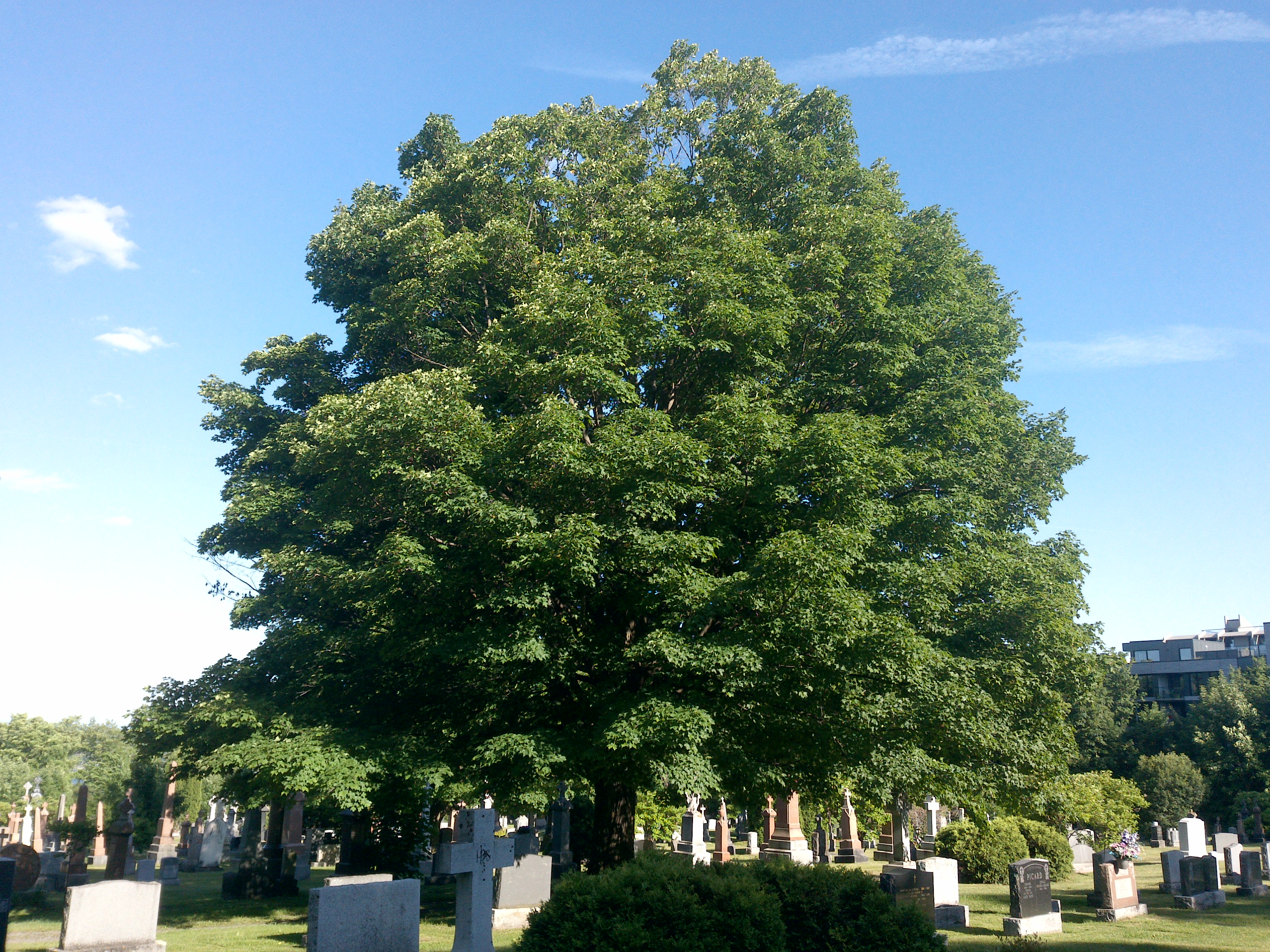
Annotation Editor
Smart Polygon