TRY THIS MODEL
Drop image here to test
trees-w9wdo/1 (latest)
The training set is empty.
The validation set is empty.
The testing set is empty.
Classes
Layers
{
"accumulator": null,
"annotation_jobs": [
"bLpTnLy2QLiH5uMy7fUE/RpjDl9T36RZiI8jmv2OQ"
],
"annotations": {
"tree": {
"original": {
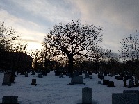
"annotation": "[{\"id\":141,\"image_id\":128,\"category_id\":31,\"segmentation\":[],\"bbox\":[1203.1999999999985,601.5999999999999,943.9999999999989,1439.9999999999968],\"ignore\":0,\"iscrowd\":0,\"area\":1359359.9999999953},{\"id\":142,\"image_id\":128,\"category_id\":31,\"segmentation\":[],\"bbox\":[339.2,358.4000000000002,1148.7999999999995,1532.7999999999995],\"ignore\":0,\"iscrowd\":0,\"area\":1760880.6399999987}]",
"format": "json",
"source": "coco"
},
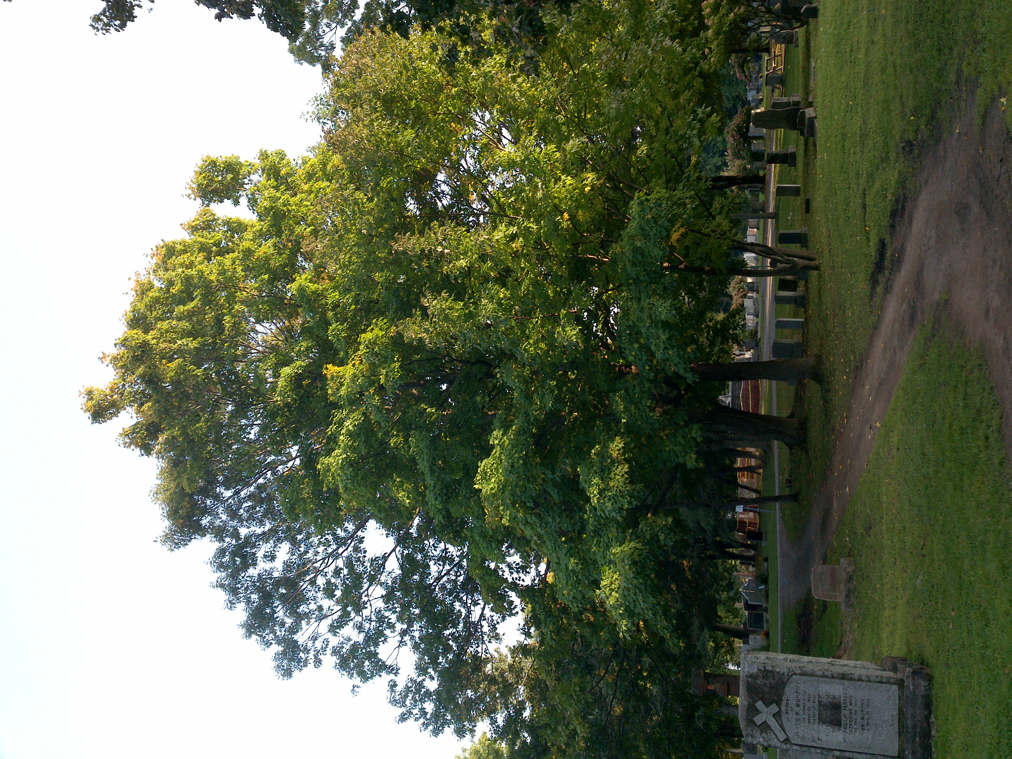
"converted": "{\"key\":\"6a03c65a-201025_152530_Garmin_Oregon7xx_DSC01803.jpg\",\"boxes\":[{\"label\":\"Tree\",\"x\":\"1675.20\",\"y\":\"1322.89\",\"width\":\"944.00\",\"height\":\"1440.00\"},{\"label\":\"Tree\",\"x\":\"913.60\",\"y\":\"1124.80\",\"width\":\"1148.80\",\"height\":\"1532.80\"}],\"width\":3264,\"height\":2448}",
"extra": null,
"by": "vKApOnDiwjaSVG3dsP3mDQx4C3g2",
"used": true,
"lastSet": "1708698203499",
"key": [
"6a03c65a-201025_152530_Garmin_Oregon7xx_DSC01803.jpg"
]
}
},
"camera": "Garmin Oregon 7xx",
"classes": [
"tree"
],
"clonedFrom": {
"project": "FNC1oLpw7yLLJ00srapF",
"source": "6RjftvMx7ne0Uf6Oxtmk"
},
"created": {
"_seconds": 1718373591,
"_nanoseconds": 312000000
},
"datasets": [
"bLpTnLy2QLiH5uMy7fUE"
],
"extension": "jpg",
"hashes": [
"b365449f4c422407512e5c9afe1fa295"
],
"height": 2448,
"id": "xPCiUKTUlYmlv1d7yrt3",
"label": [
"Unlabeled"
],
"metadata": {
"ExifVersion": "0220",
"GPSLatitude": "46,50,17.291506461685884",
"GPSAltitude": "5.579753878157244",
"GPSAltitudeRef": "0",
"DateTime": "2020:10:25 15:25:30",
"GPSMapDatum": "WGS-84",
"DateTimeOriginal": "2020:10:25 15:25:30",
"FlashpixVersion": "0100",
"WhiteBalance": "Auto white balance",
"GPSLatitudeRef": "N",
"GPSVersionID": "2.2.0.0",
"ExifIFDPointer": "124",
"Flash": "Flash did not fire, auto mode",
"FNumber": "2.650000096622392",
"GPSLongitudeRef": "W",
"FocalLengthIn35mmFilm": "31",
"Make": "Garmin",
"GPSLongitude": "71,12,2.7201327711032577",
"Orientation": "top-left",
"GPSImgDirection": "30.009538801930436",
"GPSImgDirectionRef": "T",
"GPSInfoIFDPointer": "290",
"DigitalZoomRatio": "0",
"FocalLength": "4.081999780895211",
"Model": "Oregon 7xx"
},
"name": "6a03c65a-201025_152530_Garmin_Oregon7xx_DSC01803.jpg",
"owner": "QM07ThHSYGcpSmm5LTt7",
"projects": [
"bLpTnLy2QLiH5uMy7fUE"
],
"r": 0,
"split": "test",
"split.8Fu4BtpSZNfqPefyaNQh": "train",
"split.bLpTnLy2QLiH5uMy7fUE": "test",
"tags": [
"bLpTnLy2QLiH5uMy7fUE:status:annotated"
],
"updated": {
"_seconds": 1718373591,
"_nanoseconds": 312000000
},
"updatedDate": "Jun 14, 2024",
"updatedFromRegenerate": "1708698203499",
"updatedTime": "1:59PM",
"updatedTimezone": "+00:00",
"uploader": "vKApOnDiwjaSVG3dsP3mDQx4C3g2",
"width": 3264
}
{
    "boxes": [
        {
            "label": "Tree",
            "x": "1675.20",
            "y": "1322.89",
            "width": "944.00",
            "height": "1440.00"
        },
        {
            "label": "Tree",
            "x": "913.60",
            "y": "1124.80",
            "width": "1148.80",
            "height": "1532.80"
        }
    ],
    "height": 2448,
    "key": "6a03c65a-201025_152530_Garmin_Oregon7xx_DSC01803.jpg",
    "width": 3264
}
Annotation Editor
Smart Polygon