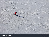
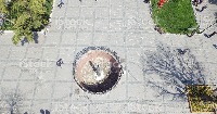
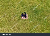
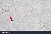
aerial imagery Computer Vision Project
ATUL AKELLA
Updated 6 months ago
Tags
Classes (8)
* collaborate with your team on computer vision projects
* collect & organize images
* understand and search unstructured image data
==============================
Flood Area Segmentation - v2 2024-08-29 11:33am
Gizem - v2 person dataset
Roboflow is an end-to-end computer vision platform that helps you
This dataset was exported via roboflow.com on March 29, 2023 at 2:41 PM GMT
A description for this project has not been published yet.
Cite This Project
LICENSE
CC BY 4.0 If you use this dataset in a research paper, please cite it using the following BibTeX:
                        @misc{
                            aerial-imagery-gj2aj_dataset,
                            title = { aerial imagery Dataset },
                            type = { Open Source Dataset },
                            author = { ATUL AKELLA },
                            howpublished = { \url{ https://universe.roboflow.com/atul-akella/aerial-imagery-gj2aj } },
                            url = { https://universe.roboflow.com/atul-akella/aerial-imagery-gj2aj },
                            journal = { Roboflow Universe },
                            publisher = { Roboflow },
                            year = { 2024 },
                            month = { sep },
                            note = { visited on 2025-03-10 },
                            }