object_detection Computer Vision Dataset
How to use the object_detection Detection API
Try This Model
Drop an image here or click to upload
Code Snippets
from inference_sdk import InferenceHTTPClient

CLIENT = InferenceHTTPClient(
    api_url="https://serverless.roboflow.com",
    api_key="API_KEY"
)

result = CLIENT.infer("YOUR_IMAGE.jpg", model_id="aquantic-research/object_detection-ptrcw-instant-1")Or, Use Free Car, Airplane and Ship Detection API
Powered by general detection model
pip install inference-sdk# 1. Import the library
from inference_sdk import InferenceHTTPClient
# 2. Connect to your workspace
client = InferenceHTTPClient(
api_url="https://serverless.roboflow.com",
api_key="API_KEY"
)
# 3. Run your workflow on an image
result = client.run_workflow(
workspace_name="<YOUR_WORKSPACE>",
workflow_id="<YOUR_WORKFLOW_ID>",
images={
"image": "YOUR_IMAGE.jpg" # Path to your image file
},
parameters={
"classes": "car, airplane, ship, speedboat"
},
use_cache=True # cache workflow definition for 15 minutes
)
# 4. Get your results
print(result)Run on custom image
Drop an image here or click to upload







About object_detection Model
🛰️ SkySeaLand Dataset
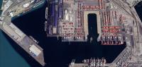
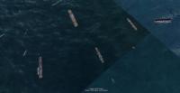
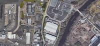
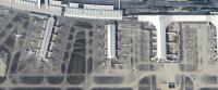
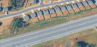
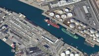
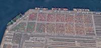
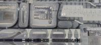
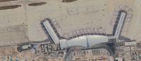
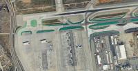
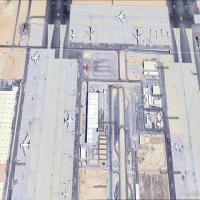
The SkySeaLand Dataset is a high-resolution, satellite-based, multi-domain image collection designed for advanced research in object detection, recognition, and classification. It contains over 1,300 high-resolution images, each precisely annotated with four core transportation-related object categories: airplane, boat, car, and ship. Images are captured across diverse geographic regions, environmental conditions, and lighting scenarios, providing robust real-world variability.
✅ Key Features:
4 Object Categories: Airplane, Boat, Car, Ship.
Global Coverage: Europe, Asia, Russia, United States, and more.
Multi-Environment Scenarios: Airports, highways, seaports, marinas, offshore regions, and coastal zones.
High-Resolution Imagery: Clear object detail for accurate detection and classification.
Precisely Annotated: Bounding boxes created with high accuracy.
Dataset Size: 1,300+ images with labels.
Structured Splits: Training, validation, and testing sets for reproducible research.
🎯 Ideal For
-
Object detection.
-
Object classification.
-
Satellite and aerial computer vision tasks
-
Multi-domain and cross-environment model training
-
Scene understanding in real-world geographic contexts.
**Dataset Images: ** All renamed and annotated images are available for download here: click here
Tell the agent what you want to build.
Cite This Project
LicenseCC BY 4.0If you use this dataset in a research paper, please cite it using the following BibTeX:
@misc{ object_detection-ptrcw_dataset,
  title = { object_detection Dataset },
  type = { Open Source Dataset },
  author = { Object detection },
  howpublished = { \url{ https://universe.roboflow.com/aquantic-research/object_detection-ptrcw } },
  url = { https://universe.roboflow.com/aquantic-research/object_detection-ptrcw },
  journal = { Roboflow Universe },
  publisher = { Roboflow },
  year = { 2025 },
  month = { nov },
  note = { visited on 2026-07-29 },
}