Traffic_Sign
Annotate
Show/hide annotations(H)
train
Labels
Attributes
Raw Data
Annotations
Group:
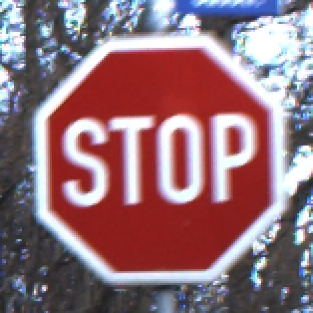
Stop
CLASSES
LAYERS
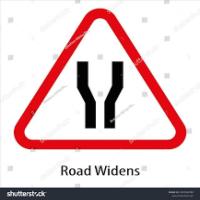
Road Wideness Ahead
1
Unused Classes
Give Way
Horn Prohibited
Hospital
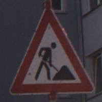
Men at Work
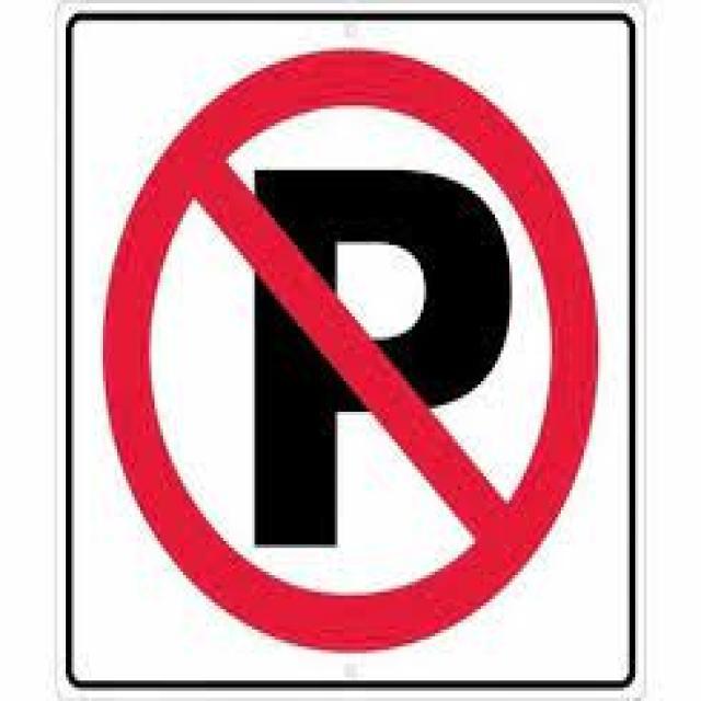
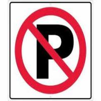
No Parking
No Stopping
Pedestrian Crossing
Pedestrian Prohibited
School Ahead
Speed Limit (20)
Speed Limit (30)
Speed Limit (50)
Stop
T intersection
U-turn prohibited
all_motor_vehicle_prohibited
cross road
dangerous dip
gap in median
hump or rough road
narrow bridge
staggered intersection
steep ascent
steep descent
Attributes
RWAH (15).jpg
600x620
0.37MP
Updated Jan 27, 2025
1:05PM
GMT+00:00
Training Set
Annotation History
Loading...
Raw Data
{
    "accumulator": null,
    "annotation_jobs": [
        "rJfRlZ7jdco2jA1rNK1w/kYapL4LExBzdFR9kjZCU"
    ],
    "annotations": {
        "Stop": {
            "converted": "{\"key\":\"RWAH (15).jpg\",\"width\":600,\"height\":620,\"boxes\":[{\"label\":\"Road Wideness Ahead\",\"x\":\"303.71\",\"y\":\"310.11\",\"width\":\"592.57\",\"height\":\"568.23\"}]}",
            "by": "XEyiFTKLIBWL385sNs2GXfigQIu2",
            "lastSet": "1692023385191"
        }
    },
    "camera": null,
    "classes": [
        "Stop"
    ],
    "clonedFrom": {
        "project": "xTFK7OyerMNrUIWJnCmr",
        "source": "T0JcLHab27HYC996O6pz"
    },
    "created": {
        "_seconds": 1737983104,
        "_nanoseconds": 972000000
    },
    "datasets": [
        "rJfRlZ7jdco2jA1rNK1w"
    ],
    "extension": "jpg",
    "hashes": [
        "ef45646ffaf39096b536a92bbd63dce1"
    ],
    "height": 620,
    "id": "A9AzOhvWIO1nJMTGv3YL",
    "label": [
        "Unlabeled"
    ],
    "metadata": {
        "no": "metadata"
    },
    "name": "RWAH (15).jpg",
    "owner": "atYNIe19xUgLymasUHBup0tSGBH2",
    "projects": [
        "rJfRlZ7jdco2jA1rNK1w"
    ],
    "r": 0.3086283185840708,
    "split": "train",
    "split.rJfRlZ7jdco2jA1rNK1w": "train",
    "tags": [
        "rJfRlZ7jdco2jA1rNK1w:status:annotated"
    ],
    "updated": {
        "_seconds": 1737983104,
        "_nanoseconds": 972000000
    },
    "updatedDate": "Jan 27, 2025",
    "updatedFromRegenerate": "1692023385191",
    "updatedTime": "1:05PM",
    "updatedTimezone": "+00:00",
    "uploader": "XEyiFTKLIBWL385sNs2GXfigQIu2",
    "user_tags": [],
    "width": 600
}
{
    "boxes": [
        {
            "label": "Road Wideness Ahead",
            "x": "303.71",
            "y": "310.11",
            "width": "592.57",
            "height": "568.23"
        }
    ],
    "height": 620,
    "key": "RWAH (15).jpg",
    "width": 600
}
Annotation Editor
Delete
Save (Enter)
Smart Polygon
Click inside to remove area or outside to expand.
Delete
Finish (Enter)


180%
Reset