TRY THIS MODEL
Drop image here to test
ddc-new/1 (latest)
The training set is empty.
The validation set is empty.
The testing set is empty.
CLASSES
LAYERS
{
"accumulator": null,
"annotation_jobs": [
"y8CHP1TUuNQjO58hhELU/AegHCvLHAj8VV282BVB4"
],
"annotations": {
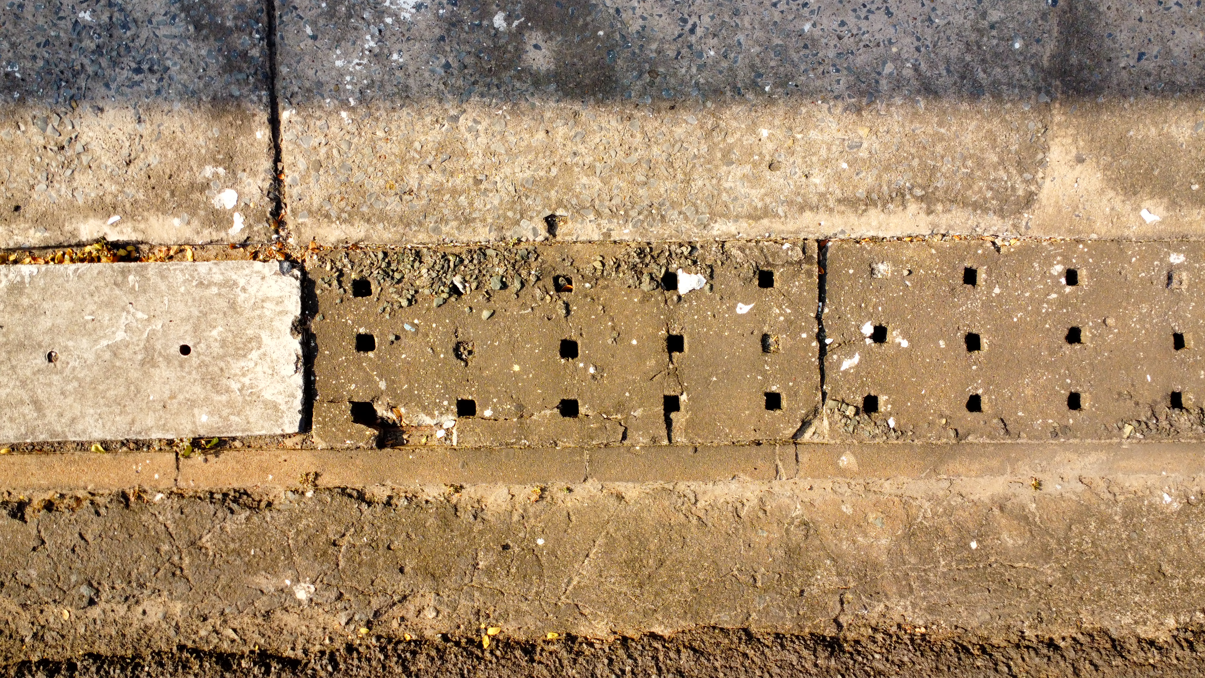
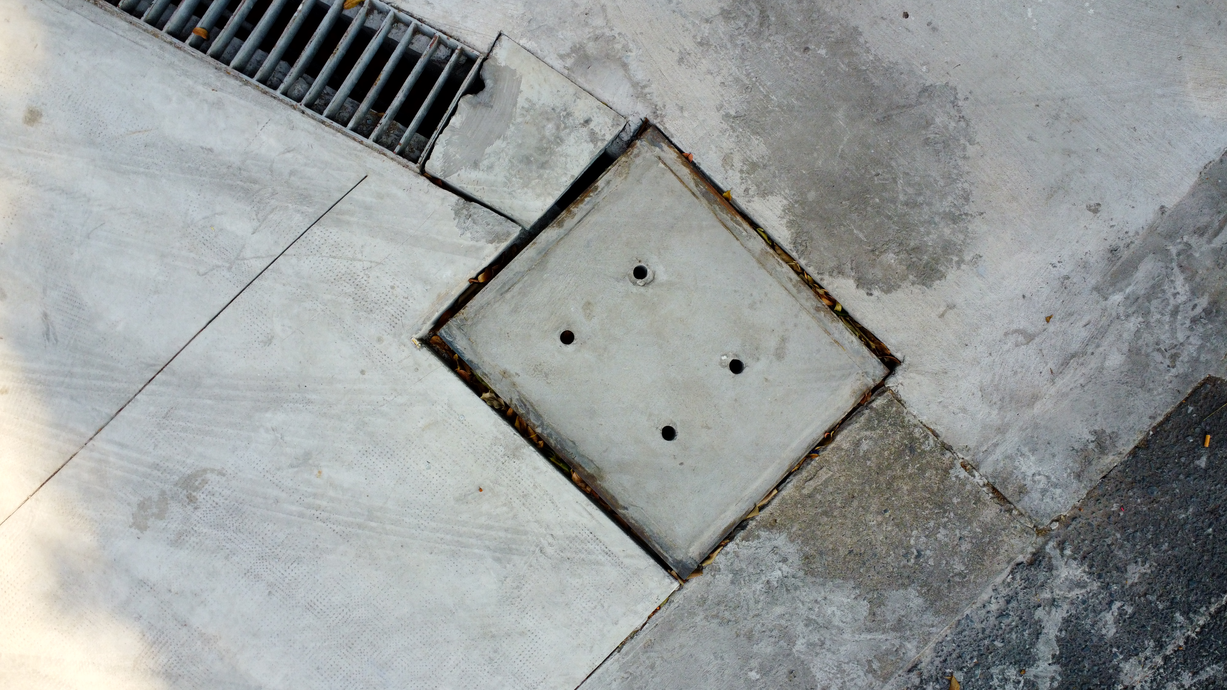
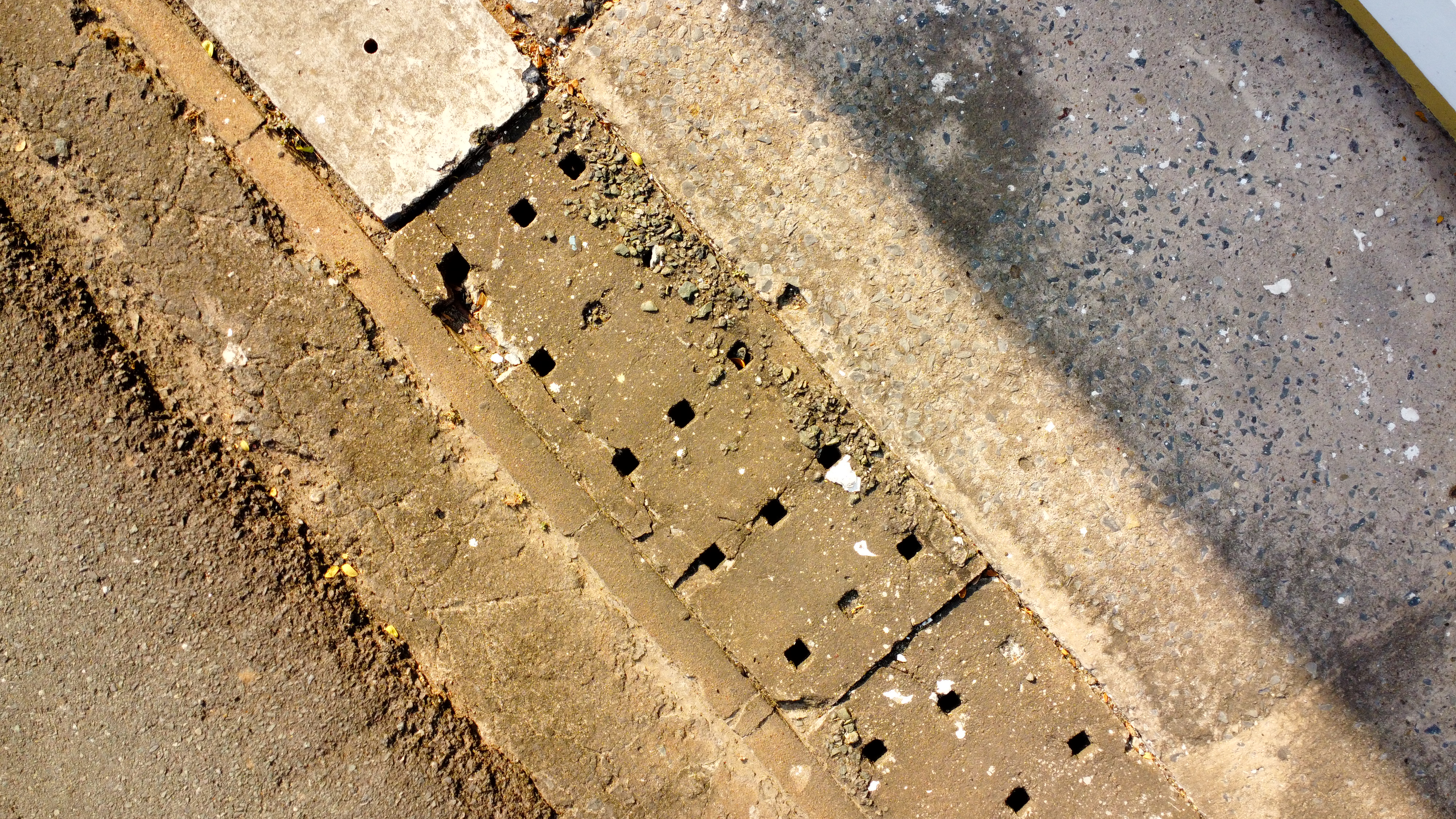
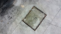
"drain-cover": {
"converted": "{\"key\":\"DJI_0975.JPG\",\"width\":4000,\"height\":2250,\"boxes\":[{\"label\":\"drain-cover\",\"x\":\"2260.00\",\"y\":\"1221.67\",\"width\":\"1580.00\",\"height\":\"1616.67\"}]}",
"by": "RxaSqZ8ysqbFTCy5AqvKO8QOa243",
"lastSet": "1706091901082"
}
},
"batches": [],
"camera": "DJI FC7303",
"created": {
"_seconds": 1706087773,
"_nanoseconds": 700000000
},
"datasets": [
"y8CHP1TUuNQjO58hhELU"
],
"extension": "jpg",
"hashes": [
"80598e0db7c029ccc3c0174eed1661c0"
],
"height": 2250,
"id": "eZzJMxGzDVf8n4H09sIR",
"label": [
"Unlabeled"
],
"metadata": {
"ApertureValue": "2.97",
"ExifVersion": "0230",
"GPSLatitude": "10,46,29.5725",
"GPSAltitude": "34.441",
"ExposureProgram": "Normal program",
"GPSAltitudeRef": "0",
"ColorSpace": "1",
"DateTime": "2024:01:22 14:53:32",
"YResolution": "72",
"InteroperabilityIFDPointer": "656",
"ExposureMode": "0",
"ExposureTime": "0.003125",
"GPSVersionID": "2.3.0.0",
"FNumber": "2.8",
"GPSLongitudeRef": "E",
"PixelXDimension": "4000",
"BodySerialNumber": "1SFLJ890AL09MK",
"FileSource": "DSC",
"PhotographicSensitivity": "100",
"FocalLengthIn35mmFilm": "24",
"CompressedBitsPerPixel": "3.3187715555555557",
"Make": "DJI",
"Orientation": "top-left",
"Contrast": "Hard",
"DateTimeDigitized": "2024:01:22 14:53:32",
"XResolution": "72",
"FocalLength": "4.49",
"MeteringMode": "CenterWeightedAverage",
"GainControl": "None",
"Software": "v01.43.0074",
"ImageDescription": "DCIM\\100MEDIA\\DJI_0975.JPG",
"SceneCaptureType": "Standard",
"SceneType": "Directly photographed",
"SubjectDistanceRange": "Unknown",
"SubjectDistance": "0",
"MaxApertureValue": "2.97",
"PixelYDimension": "2250",
"DateTimeOriginal": "2024:01:22 14:53:32",
"ExposureIndex": "NaN",
"FlashpixVersion": "0100",
"WhiteBalance": "Auto white balance",
"GPSLatitudeRef": "N",
"CustomRendered": "Normal process",
"ExifIFDPointer": "182",
"YCbCrPositioning": "1",
"Flash": "No flash function",
"Saturation": "High saturation",
"ComponentsConfiguration": "YCbCr",
"GPSLongitude": "106,39,39.5341",
"Sharpness": "Hard",
"GPSInfoIFDPointer": "686",
"DigitalZoomRatio": "1",
"ShutterSpeedValue": "8.3219",
"Model": "FC7303",
"ExposureBias": "0.3333333333333333",
"ResolutionUnit": "2",
"LightSource": "Daylight"
},
"name": "DJI_0975.JPG",
"owner": "RxaSqZ8ysqbFTCy5AqvKO8QOa243",
"projects": [
"y8CHP1TUuNQjO58hhELU"
],
"r": 0.8792270531400966,
"split": "train",
"split.y8CHP1TUuNQjO58hhELU": "train",
"tags": [
"y8CHP1TUuNQjO58hhELU:status:annotated"
],
"updated": {
"_seconds": 1706087773,
"_nanoseconds": 700000000
},
"updatedDate": "Jan 24, 2024",
"updatedFromRegenerate": "1706091901082",
"updatedTime": "9:16AM",
"updatedTimezone": "+00:00",
"uploader": "RxaSqZ8ysqbFTCy5AqvKO8QOa243",
"width": 4000
}
{
    "boxes": [
        {
            "label": "drain-cover",
            "x": "2260.00",
            "y": "1221.67",
            "width": "1580.00",
            "height": "1616.67"
        }
    ],
    "height": 2250,
    "key": "DJI_0975.JPG",
    "width": 4000
}
Annotation Editor
Smart Polygon