Test for Yolov8 Computer Vision Model
How to use the Test for Yolov8 Segmentation API
Try This Model
Drop an image here or click to upload
Code Snippets
from inference_sdk import InferenceHTTPClient

CLIENT = InferenceHTTPClient(
    api_url="https://serverless.roboflow.com",
    api_key="API_KEY"
)

result = CLIENT.infer("YOUR_IMAGE.jpg", model_id="test-for-yolov8/5")Or, Use Free Crack, Pothole and Damaged markings Detection API
Powered by general detection model
pip install inference-sdk# 1. Import the library
from inference_sdk import InferenceHTTPClient
# 2. Connect to your workspace
client = InferenceHTTPClient(
api_url="https://serverless.roboflow.com",
api_key="API_KEY"
)
# 3. Run your workflow on an image
result = client.run_workflow(
workspace_name="<YOUR_WORKSPACE>",
workflow_id="<YOUR_WORKFLOW_ID>",
images={
"image": "YOUR_IMAGE.jpg" # Path to your image file
},
parameters={
"classes": "crack, pothole, damaged markings, guardrail"
},
use_cache=True # cache workflow definition for 15 minutes
)
# 4. Get your results
print(result)Run on custom image
Drop an image here or click to upload



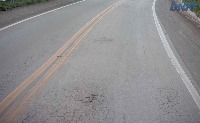
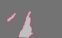
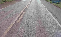
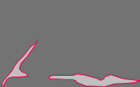





About Test for Yolov8 Model
Here are a few use cases for this project:
-
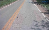
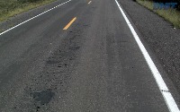
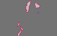
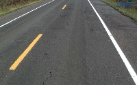
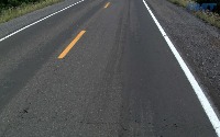
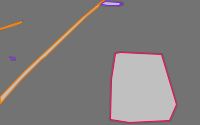
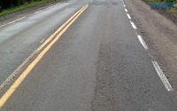
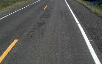
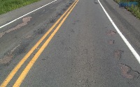
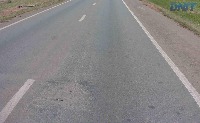
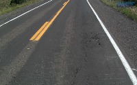
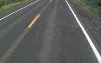
Road Maintenance: This model can be used by city transportation authorities to assess the condition of roads. By flagging cracks, potholes, and damaged markings, they can proactively schedule road repair and maintenance work, improving public safety.
-
Autonomous Vehicle Navigation: Self-driving car developers could use this model to train autonomous vehicles to respond to road conditions. Identifying potential obstacles like potholes and damages can help prevent accidents and increase safety.
-
Traffic Management System: A traffic management system can utilize this computer vision model to monitor the road conditions in real-time. Information on roadblocks like cracks and potholes can be shared with drivers to avoid routes with poor conditions.
-
Infrastructure Planning: City planning and civil engineering projects could utilize this model to gather data about existing road conditions, helping in the planning and modeling for new infrastructure.
-
Insurance Claims Processing: Insurance companies could use this model to validate car accident claims related to poor road conditions. By identifying and validating the presence of road damage, they can streamline their claim process.
Tell the agent what you want to build.
Cite This Project
LicenseCC BY 4.0If you use this dataset in a research paper, please cite it using the following BibTeX:
@misc{ test-for-yolov8_dataset,
  title = { Test for Yolov8 Dataset },
  type = { Open Source Dataset },
  author = { StanfordCS231N },
  howpublished = { \url{ https://universe.roboflow.com/stanfordcs231n/test-for-yolov8 } },
  url = { https://universe.roboflow.com/stanfordcs231n/test-for-yolov8 },
  journal = { Roboflow Universe },
  publisher = { Roboflow },
  year = { 2023 },
  month = { jun },
  note = { visited on 2026-07-29 },
}