research project - oriented box Computer Vision Model
How to use the research project - oriented box Detection API
Try This Model
Drop an image here or click to upload
Code Snippets
from inference_sdk import InferenceHTTPClient

CLIENT = InferenceHTTPClient(
    api_url="https://serverless.roboflow.com",
    api_key="API_KEY"
)

result = CLIENT.infer("YOUR_IMAGE.jpg", model_id="research-project-oriented-box/16")Or, Use Free Insulator, Transformer and Object Detection API
Powered by general detection model
pip install inference-sdk# 1. Import the library
from inference_sdk import InferenceHTTPClient
# 2. Connect to your workspace
client = InferenceHTTPClient(
api_url="https://serverless.roboflow.com",
api_key="API_KEY"
)
# 3. Run your workflow on an image
result = client.run_workflow(
workspace_name="<YOUR_WORKSPACE>",
workflow_id="<YOUR_WORKFLOW_ID>",
images={
"image": "YOUR_IMAGE.jpg" # Path to your image file
},
parameters={
"classes": "insulator, transformer, object, cable, harrow"
},
use_cache=True # cache workflow definition for 15 minutes
)
# 4. Get your results
print(result)Run on custom image
Drop an image here or click to upload





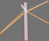


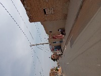

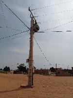

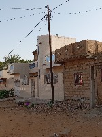

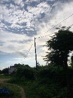

About research project - oriented box Model
Here are a few use cases for this project:
-
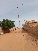
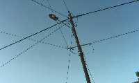
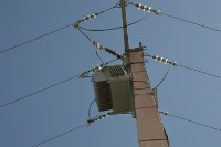
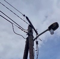
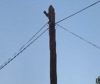
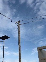
Utility Infrastructure Inspection and Maintenance: SPOID can be used by utility companies to automatically identify and monitor various components of their infrastructure, such as insulators, transformers, and cables. This can help them better plan maintenance schedules and detect any defects, damage, or wear and tear on their equipment.
-
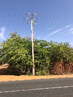
Storm Damage Assessment: Following extreme weather events, such as storms or hurricanes, SPOID can assist emergency management teams and utility workers in assessing the damage to power lines, posts, and other infrastructure elements. The model can quickly identify damaged or fallen equipment, allowing for faster repairs and restoration of services.
-
Urban Planning and Development: SPOID can be utilized by city planners and engineers to analyze images of urban environments and locate various electrical components (like power lines, lamp posts, and transformers). This information can be essential in the decision-making process for planning new infrastructure projects or ensuring safety during construction.
-
Enhanced Mapping: SPOID can be integrated into mapping applications or geographic information systems (GIS) to provide more detailed and accurate information about the location of power lines, posts, and other electrical components. This can assist individuals or organizations involved in land development, environmental assessments, or planning outdoor events.
-
Augmented Reality (AR) for Field Workers: SPOID can be used to develop AR applications that help field workers identify various components in their work, such as power line technicians or telecommunications workers. By overlaying identification labels on real-world images or videos, the AR app can help them more easily locate and troubleshoot specific issues with the infrastructure they are working on.
Tell the agent what you want to build.
Cite This Project
LicenseCC BY 4.0If you use this dataset in a research paper, please cite it using the following BibTeX:
@misc{ research-project-oriented-box_dataset,
  title = { research project - oriented box Dataset },
  type = { Open Source Dataset },
  author = { Spoid },
  howpublished = { \url{ https://universe.roboflow.com/spoid/research-project-oriented-box } },
  url = { https://universe.roboflow.com/spoid/research-project-oriented-box },
  journal = { Roboflow Universe },
  publisher = { Roboflow },
  year = { 2026 },
  month = { may },
  note = { visited on 2026-07-29 },
}