TRY THIS MODEL
Drop image here to test
classification-of-lettuce/1 (latest)
The training set is empty.
The validation set is empty.
The testing set is empty.
CLASSES
LAYERS
{
"accumulator": null,
"annotation_jobs": [
"k25ub544FPwuhzas09W3/8XBW98cKD61K8Qr4tKvC"
],
"annotations": {
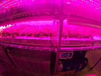
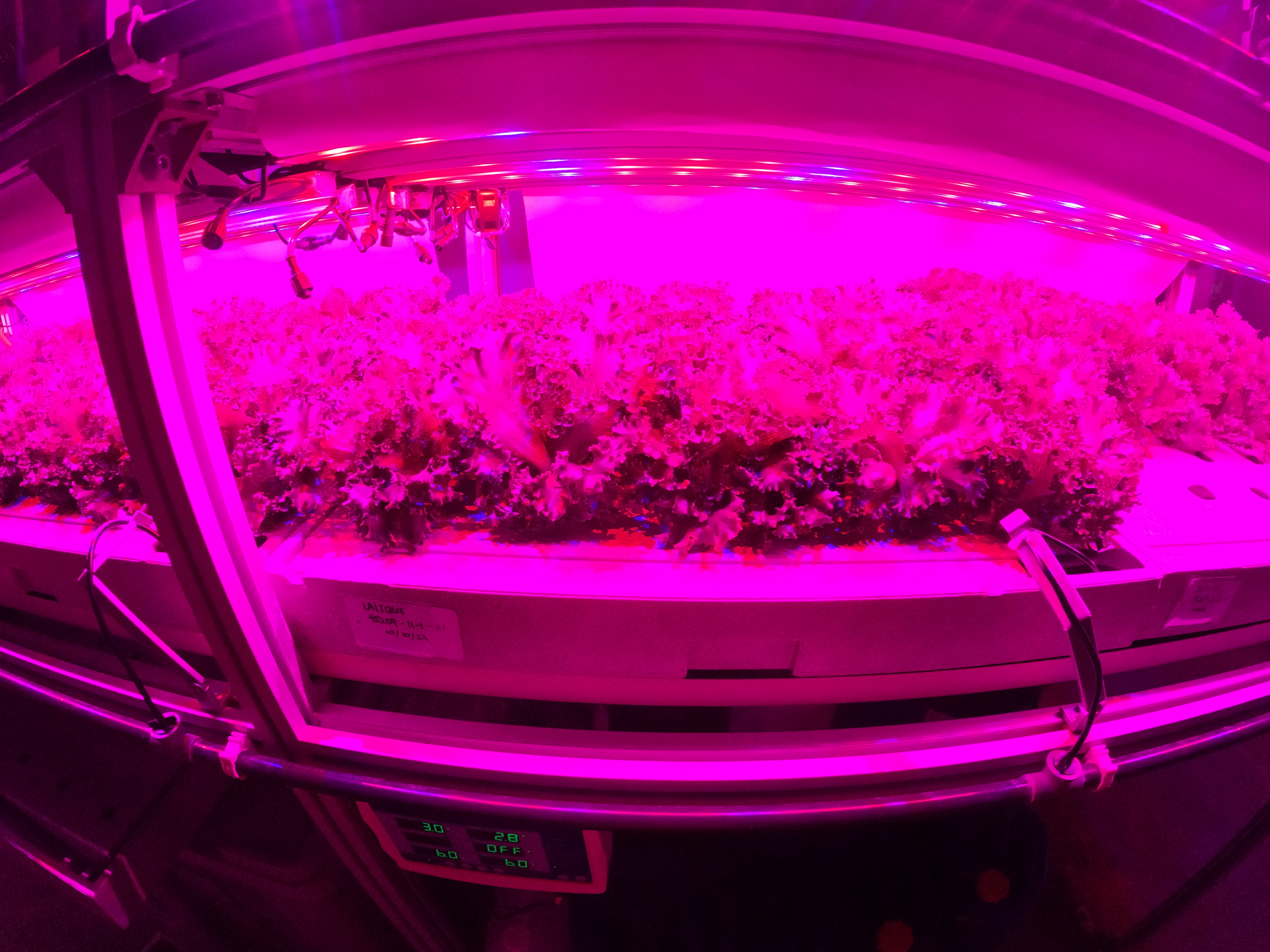
"Lalique-JAPL122-JAPFancyGreen": {
"by": "HYPfBxk2ndQuZW0LkPzYMrhUjO22",
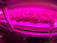
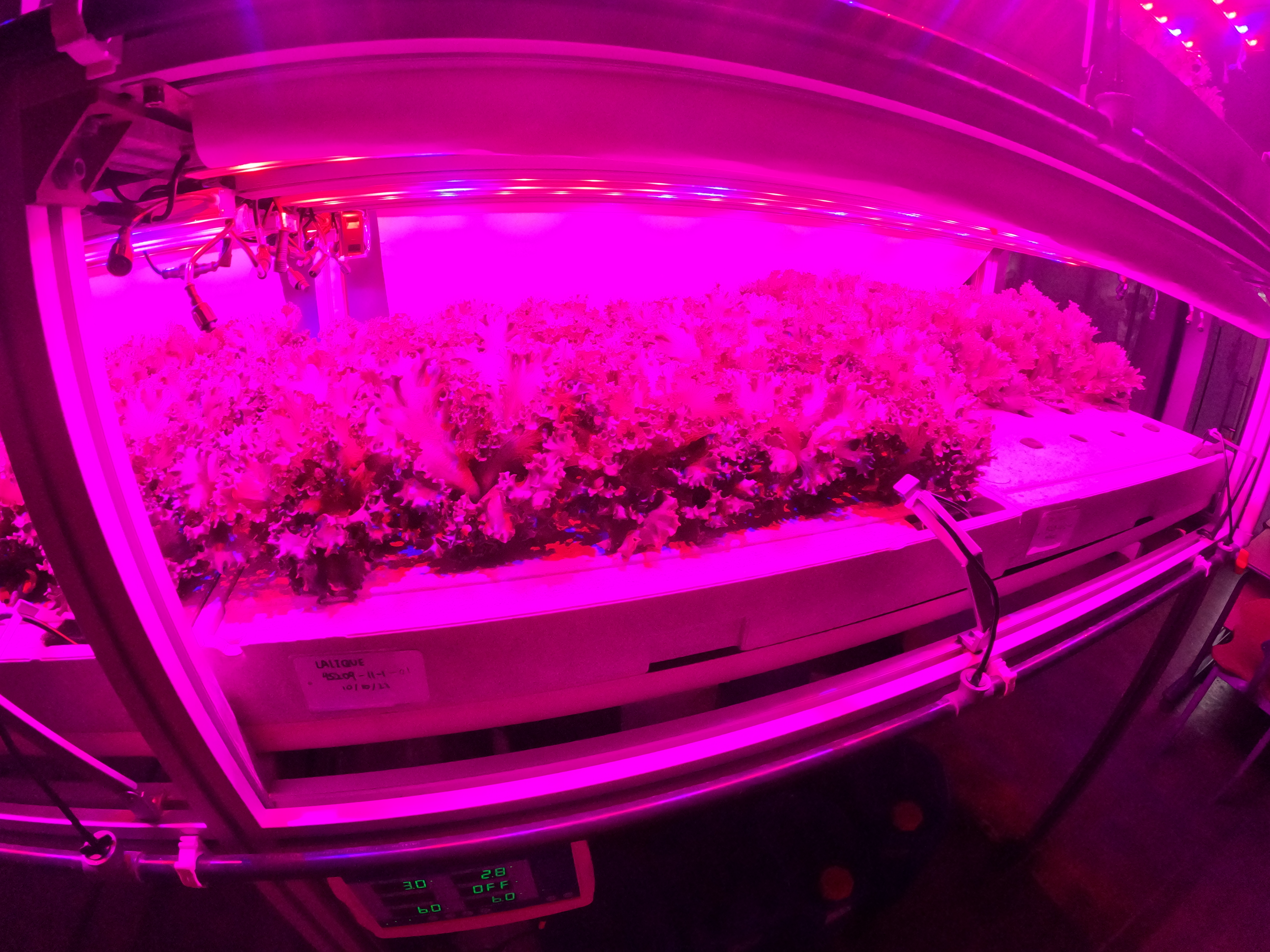
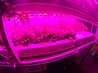
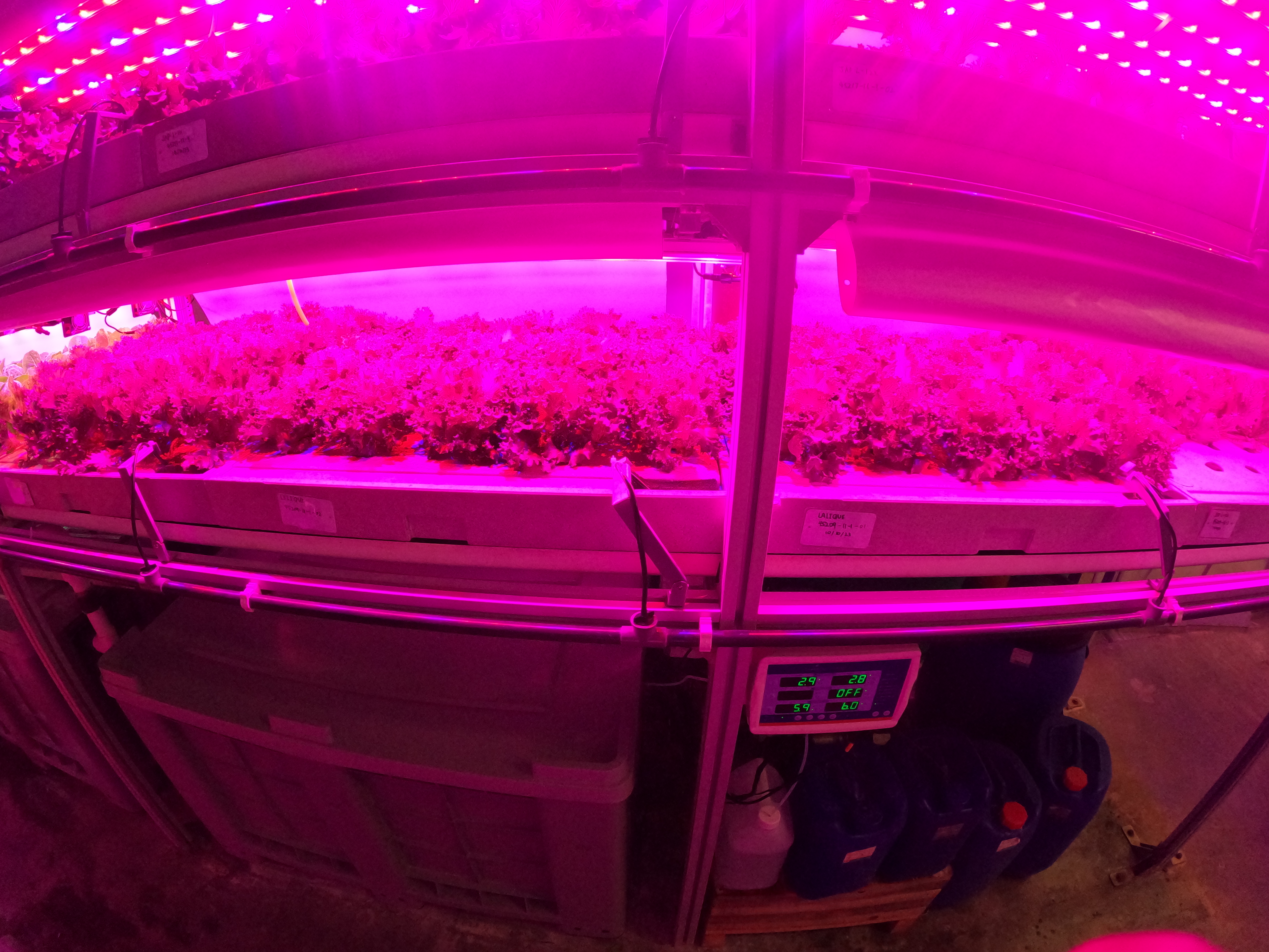
"converted": "{\"key\":\"GOPR0445.JPG\",\"width\":5568,\"height\":4176,\"boxes\":[{\"label\":\"JAP Fancy Green - Day 27\",\"x\":\"1542.50\",\"y\":\"1792.50\",\"width\":\"3015.00\",\"height\":\"1385.00\"},{\"label\":\"JAP Fancy Green - Day 27\",\"x\":\"4127.50\",\"y\":\"1775.00\",\"width\":\"2125.00\",\"height\":\"1190.00\"}]}",
"lastSet": "1702202062012"
}
},
"batches": [],
"camera": "GoPro HERO10 Black",
"created": {
"_seconds": 1701432982,
"_nanoseconds": 609000000
},
"datasets": [
"k25ub544FPwuhzas09W3"
],
"extension": "jpg",
"hashes": [
"458a2fa9603b0141300c5b003d71c8b7"
],
"height": 4176,
"id": "T10b8pYNVAQKOvcbS4bu",
"label": [
"Unlabeled"
],
"metadata": {
"ApertureValue": "2.5",
"ExifVersion": "0221",
"GPSLatitude": "1,16,31.58796",
"GPSAltitude": "81.235",
"ExposureProgram": "Normal program",
"GPSAltitudeRef": "0",
"ColorSpace": "0",
"GPSTimeStamp": "2,13,59",
"DateTime": "2023:11:14 10:13:58",
"YResolution": "72",
"SubSecTimeOriginal": "8310",
"InteroperabilityIFDPointer": "692",
"ExposureMode": "0",
"ExposureTime": "0.004166666666666667",
"SubSecTime": "8310",
"FNumber": "2.5",
"GPSLongitudeRef": "E",
"PixelXDimension": "5568",
"BodySerialNumber": "C3461326673030",
"FileSource": "DSC",
"PhotographicSensitivity": "333",
"FocalLengthIn35mmFilm": "15",
"CompressedBitsPerPixel": "0.004",
"Make": "GoPro",
"Orientation": "top-left",
"Contrast": "Normal",
"DateTimeDigitized": "2023:11:14 10:13:58",
"XResolution": "72",
"FocalLength": "2.71",
"MeteringMode": "Average",
"GainControl": "None",
"Software": "H21.01.01.46.00",
"ImageDescription": "DCIM\\100GOPRO\\GOPR0445.JPG",
"SceneCaptureType": "Landscape",
"SceneType": "Directly photographed",
"SubjectDistanceRange": "Unknown",
"SubjectDistance": "0",
"MaxApertureValue": "2.5",
"PixelYDimension": "4176",
"GPSDateStamp": "2023:11:14",
"DateTimeOriginal": "2023:11:14 10:13:58",
"ExposureIndex": "1.066730489",
"FlashpixVersion": "\b\t\n\u000b",
"WhiteBalance": "Auto white balance",
"GPSLatitudeRef": "N",
"CustomRendered": "Normal process",
"ExifIFDPointer": "158",
"YCbCrPositioning": "1",
"Flash": "No flash function",
"Saturation": "Normal",
"ComponentsConfiguration": "YCbCr",
"GPSLongitude": "103,47,44.1967199",
"Sharpness": "Normal",
"SubSecTimeDigitized": "8310",
"GPSInfoIFDPointer": "722",
"DigitalZoomRatio": "1",
"ShutterSpeedValue": "8",
"Model": "HERO10 Black",
"ExposureBias": "0",
"ResolutionUnit": "2",
"LightSource": "Daylight",
"DeviceSettingDescription": "0,0,0,0",
"SensingMethod": "One-chip color area sensor"
},
"name": "GOPR0445.JPG",
"owner": "HYPfBxk2ndQuZW0LkPzYMrhUjO22",
"projects": [
"k25ub544FPwuhzas09W3"
],
"r": 0.9976190476190476,
"split": "valid",
"split.k25ub544FPwuhzas09W3": "valid",
"tags": [
"k25ub544FPwuhzas09W3:status:annotated"
],
"updated": {
"_seconds": 1701434254,
"_nanoseconds": 202000000
},
"updatedDate": "Dec 1, 2023",
"updatedFromRegenerate": "1702202062012",
"updatedTime": "12:37PM",
"updatedTimezone": "+00:00",
"uploader": "HYPfBxk2ndQuZW0LkPzYMrhUjO22",
"width": 5568
}
{
    "boxes": [
        {
            "label": "JAP Fancy Green - Day 27",
            "x": "1542.50",
            "y": "1792.50",
            "width": "3015.00",
            "height": "1385.00"
        },
        {
            "label": "JAP Fancy Green - Day 27",
            "x": "4127.50",
            "y": "1775.00",
            "width": "2125.00",
            "height": "1190.00"
        }
    ],
    "height": 4176,
    "key": "GOPR0445.JPG",
    "width": 5568
}
Annotation Editor
Smart Polygon