Tree detection Computer Vision Model
How to use the Tree detection Detection API
Try This Model
Drop an image here or click to upload
Code Snippets
from inference_sdk import InferenceHTTPClient

CLIENT = InferenceHTTPClient(
    api_url="https://serverless.roboflow.com",
    api_key="API_KEY"
)

result = CLIENT.infer("YOUR_IMAGE.jpg", model_id="tree-detection-wylxr/2")Or, Use Free Tree Detection API
Powered by general detection model
pip install inference-sdk# 1. Import the library
from inference_sdk import InferenceHTTPClient
# 2. Connect to your workspace
client = InferenceHTTPClient(
api_url="https://serverless.roboflow.com",
api_key="API_KEY"
)
# 3. Run your workflow on an image
result = client.run_workflow(
workspace_name="<YOUR_WORKSPACE>",
workflow_id="<YOUR_WORKFLOW_ID>",
images={
"image": "YOUR_IMAGE.jpg" # Path to your image file
},
parameters={
"classes": "Tree"
},
use_cache=True # cache workflow definition for 15 minutes
)
# 4. Get your results
print(result)Run on custom image
Drop an image here or click to upload

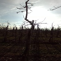

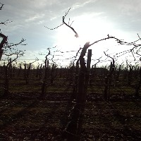
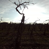






About Tree detection Model
Here are a few use cases for this project:
-
Urban Forestry Management: The "Tree detection" model could be used by city planners and environmental agencies to locate and classify different types of trees within urban areas. This would enable efficient planning for tree maintenance, ensuring ecological diversity and the well-being of urban forests.
-
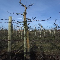
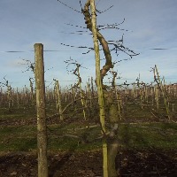
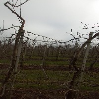
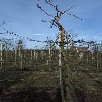
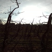
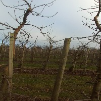
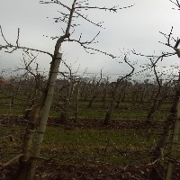
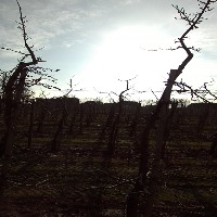
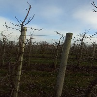
Agricultural Monitoring and Optimization: Farmers could use the "Tree detection" model to monitor tree growth and health in orchards, allowing them to detect abnormal patterns or signs of diseases early on. This could also lead to more precise and targeted agricultural interventions, such as selective pruning or pesticide application.
-
Wildlife Habitat Mapping: Ecologists and wildlife conservationists could utilize the "Tree detection" model to identify and map locations of various tree species, leading to a better understanding of the availability and distribution of essential habitats for various wildlife species.
-
Drone-based Reforestation: The "Tree detection" model could be integrated with drone technology to scan deforested areas and gather information about existing trees. This would allow for more effective reforestation efforts by identifying suitable planting locations and monitoring the success of tree-planting initiatives.
-
Disaster Management and Recovery: Authorities involved in disaster management could use the "Tree detection" model to assess the impact of natural disasters (e.g., wildfires, hurricanes) on tree populations. This information could help prioritize areas that require vegetation restoration, contributing to long-term ecological recovery.
Tell the agent what you want to build.
Cite This Project
LicenseCC BY 4.0If you use this dataset in a research paper, please cite it using the following BibTeX:
@misc{ tree-detection-wylxr_dataset,
  title = { Tree detection Dataset },
  type = { Open Source Dataset },
  author = { Grundprojekt },
  howpublished = { \url{ https://universe.roboflow.com/grundprojekt/tree-detection-wylxr } },
  url = { https://universe.roboflow.com/grundprojekt/tree-detection-wylxr },
  journal = { Roboflow Universe },
  publisher = { Roboflow },
  year = { 2023 },
  month = { sep },
  note = { visited on 2026-07-29 },
}