trash
Annotate
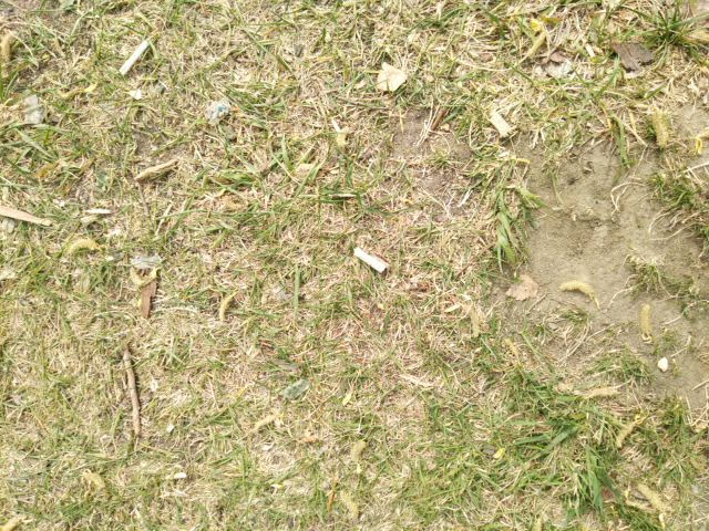
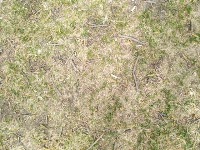
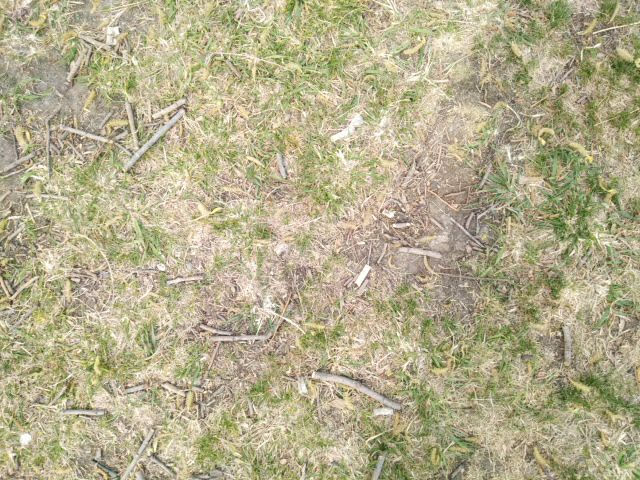
IMG_20220514_103747.jpg
Show/hide annotations(H)
test
Labels
Attributes
Raw Data
Annotations
Group:
trash
CLASSES
LAYERS
Wrapper
1
Unused Classes
Bottle
Box
Butt
Cap
Cup
Pipe
Attributes
IMG_20220514_103747.jpg
640x480
0.31MP
Updated Dec 14, 2022
8:47AM
GMT+00:00
asus ZB602KL
𝑓/2.2
3mm
Testing Set
Annotation History
Loading...
Raw Data
{
    "accumulator": null,
    "annotation_jobs": [
        "cYcPILPMEtwhKnYTysJW/xpVO0uGK8noElhxCzH4s",
        "OHPTqmogp6OQhWUupkaM/qjsKhf2HzKleGFxpDjLI"
    ],
    "annotations": {
        "trash": {
            "converted": "{\"key\":\"IMG_20220514_103747.jpg\",\"width\":640,\"height\":480,\"boxes\":[{\"label\":\"Wrapper\",\"x\":\"373.84\",\"y\":\"235.33\",\"width\":\"73.86\",\"height\":\"85.33\"}]}",
            "lastSet": "1652685219333"
        }
    },
    "camera": "asus ZB602KL",
    "classes": [
        "trash"
    ],
    "clonedFrom": {
        "project": "Pqk4UlQGB4CvmtwlPraK",
        "source": "vACiZnWHeIh7JzpJHLuQ"
    },
    "created": {
        "_seconds": 1671007667,
        "_nanoseconds": 903000000
    },
    "datasets": [
        "cYcPILPMEtwhKnYTysJW",
        "OHPTqmogp6OQhWUupkaM"
    ],
    "extension": "jpg",
    "hashes": [
        "cc350dd507fa48751cc2c389c8e28fc9"
    ],
    "height": 480,
    "id": "6SfYaXP1T2ZcDaHFmcMc",
    "label": [
        "Unlabeled"
    ],
    "metadata": {
        "ApertureValue": "2.27",
        "ExifVersion": "0220",
        "GPSLatitude": "54,58,15.262",
        "GPSAltitude": "82.991",
        "GPSAltitudeRef": "0",
        "ExposureProgram": "Undefined",
        "GPSProcessingMethod": "ASCII",
        "ImageUniqueID": "d4d2f0027b90e1470000000000000000",
        "ColorSpace": "1",
        "GPSTimeStamp": "4,35,36",
        "BrightnessValue": "4.27",
        "DateTime": "2022:05:14 10:37:47",
        "YResolution": "72",
        "SubSecTimeOriginal": "293482",
        "InteroperabilityIFDPointer": "1004",
        "ExposureMode": "0",
        "GPSVersionID": "2.2.0.0",
        "ExposureTime": "0.01",
        "SubSecTime": "293482",
        "FNumber": "2.2",
        "PixelXDimension": "640",
        "GPSLongitudeRef": "E",
        "PhotographicSensitivity": "119",
        "FocalLengthIn35mmFilm": "3",
        "Make": "asus",
        "Orientation": "top-left",
        "GPSImgDirectionRef": "M",
        "DateTimeDigitized": "2022:05:14 10:37:47",
        "XResolution": "72",
        "MeteringMode": "CenterWeightedAverage",
        "FocalLength": "3.37",
        "Software": "sdm660_64-user 9 PKQ1 43 release-keys",
        "SceneCaptureType": "Standard",
        "SceneType": "Directly photographed",
        "PixelYDimension": "480",
        "GPSDateStamp": "2022:05:14",
        "DateTimeOriginal": "2022:05:14 10:37:47",
        "FlashpixVersion": "0100",
        "WhiteBalance": "Auto white balance",
        "GPSLatitudeRef": "N",
        "YCbCrSubSampling": "2,2",
        "ExifIFDPointer": "246",
        "YCbCrPositioning": "1",
        "Flash": "Flash did not fire, compulsory flash mode",
        "ComponentsConfiguration": "YCbCr",
        "GPSLongitude": "73,25,46.6802",
        "SubSecTimeDigitized": "293482",
        "GPSImgDirection": "196",
        "GPSInfoIFDPointer": "742",
        "ShutterSpeedValue": "6.643",
        "Model": "ZB602KL",
        "ResolutionUnit": "2",
        "SensingMethod": "One-chip color area sensor"
    },
    "name": "IMG_20220514_103747.jpg",
    "owner": "VmHgyU7hvAZmkrTKaxx5",
    "projects": [
        "cYcPILPMEtwhKnYTysJW",
        "OHPTqmogp6OQhWUupkaM"
    ],
    "r": 0.35990888382687924,
    "split": "test",
    "split.OHPTqmogp6OQhWUupkaM": "test",
    "split.cYcPILPMEtwhKnYTysJW": "test",
    "tags": [
        "cYcPILPMEtwhKnYTysJW:status:annotated",
        "OHPTqmogp6OQhWUupkaM:status:annotated"
    ],
    "updated": {
        "_seconds": 1671007667,
        "_nanoseconds": 903000000
    },
    "updatedDate": "Dec 14, 2022",
    "updatedTime": "8:47AM",
    "updatedTimezone": "+00:00",
    "uploader": "enAATRzD9mYCdC8tYyDNllJu9wl1",
    "width": 640
}
{
    "boxes": [
        {
            "label": "Wrapper",
            "x": "373.84",
            "y": "235.33",
            "width": "73.86",
            "height": "85.33"
        }
    ],
    "height": 480,
    "key": "IMG_20220514_103747.jpg",
    "width": 640
}
Annotation Editor
Delete
Save (Enter)
Smart Polygon
Click inside to remove area or outside to expand.
Delete
Finish (Enter)

170%
Reset